
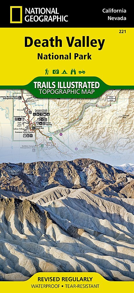
Wandelkaart 221 Death Valley NP - Nevada - Natgeo
Gelegen ten oosten van de Sierra Nevada
Korte omschrijving
TOPO Wandelkaart 221 - Death Valley NP - Nevada - Nat Geo Productomschrijving: Death Valley National Park is een Amerikaans nationaal park die de California—Nevada grens aanraakt, ten ooste...

Specificaties
- Uitgever: National Geographic
- ISBN-13: 9781566953214
- HOOFDCATEGORIEËN: Wandelkaart
- Regio: Californië, USA
- Land: Verenigde Staten van Amerika (USA)
- Nationale parken: Death Valley NP, California, Nevada USA
- Schaal: 1:165000
- Afmeting: 10x19
- Taal: Engels
Volledige omschrijving
TOPO Wandelkaart 221 - Death Valley NP - Nevada - Nat Geo
Productomschrijving: Death Valley National Park is een Amerikaans nationaal park die de California—Nevada grens aanraakt, ten oosten van de Sierra Nevada. De grenzen omvatten Death Valley, het noordelijk deel van Panamint Valley, het zuidelijk deel van Eureka Valley, en het de meerderheid van Saline Valley.
Engelse omschrijving: Despite its foreboding name and the fact that it is the hottest, lowest, and driest area in North America, Death Valley National Park maintains a great diversity of life in its dramatic terrain of salt-flats, canyons, mountains, valleys, sand dunes, and badlands. National Geographic's Trails Illustrated map of Death Valley National Park delivers unmatched detail and valuable information to assist you in your visit to this land of extremes. Expertly researched and created in partnership with local land management agencies, this map features key areas of interest including Badwater Basin, Furnace Creek, Scotty's Castle, Panamint Springs, and Stovepipe Wells.
With miles of clearly marked trails that include mileages between intersections, this map will prove invaluable in your exploration of the park. A list of backcountry roads and trails complete with descriptions, lengths, and starting points will help you choose a route that's right for your activity level and recreation use. The map base includes contour lines and elevations for summits. Hot weather tips, a temperature chart, regulations, and safety suggestions are included as well. Every Trails Illustrated map is printed on "Backcountry Tough" waterproof, tear-resistant paper. A full UTM grid is printed on the map to aid with GPS navigation.
Other features found on this map include: Amargosa Desert, Amargosa River, Badwater Basin, Bare Mountain, Black Mountains, Cottonwood Mountains, Death Valley, Eureka Valley, Funeral Mountains, Gold Mountain, Grapevine Mountains, Greenwater Range, Inyo Mountains, Inyo Mountains Wilderness, Inyo National Forest, Last Chance Mountain, Nelson Range, New York Butte, Owens Lake, Owens River, Owlshead Mountains, Panamint Range, Saline Valley, Sarcobatus Flat, Searles Lake, Telescope Peak, Towne Pass, Tucki Mountain, Ubehebe Peak.
.jpg)
Locatie op kaart
Overzichtskaarten

NAT GEO California trail maps
NAT GEO California trail maps

Producten op de overzichtskaart
Klik op een product om naar de detailpagina te gaan.
- Wandelkaart 205 Sequoia & Kings Canyon NP - California
- Wandelkaart 206 Yosemite NP - California - Nat Geo
- Wandelkaart 218 Redwood National & State Parks - Nat Geo
- Wandelkaart 221 Death Valley NP - Nevada - Natgeo
- Wandelkaart 226 Joshua Tree NP - California - Nat Geo
- Wandelkaart 256 Mojave National park California - Nat Geo
- Wandelkaart 306 Yosemite SW- Yosemite Valley - Nat Geo
- Wandelkaart 307 Yosemite NP North West - Nat Geo
- Wandelkaart 308 Yosemite NE- Tuolumne Meadows - Nat Geo
- Wandelkaart 309 Yosemite SE - Ansel Adams Wilderness - Nat Geo
- Wandelkaart 322 Mount Whitney California - Nat Geo
- Wandelkaart 803 Lake Tahoe Basin - California - Nat Geo
- Wandelkaart 804 Tahoe National Forest West - Nat Geo
- Wandelkaart 805 Tahoe Nat. Forest East - Sierra Buttes - Nat Geo
- Wandelkaart 809 Mammoth Lakes - Mono Divide - Nat Geo
- Wandelkaart 810 Shaver Lake - Sierra National Forest - Nat Geo
Artikelen uit dezelfde regio
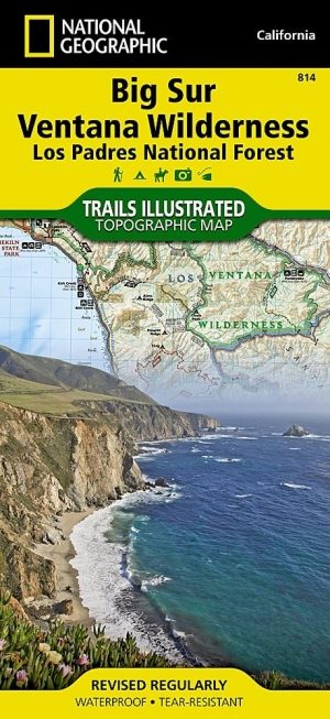
Wandelkaart 814 Big Sur & Ventana Wilderness - Natgeo • 9781566955782
TOPO Wandelkaart 814 - Big Sur & Ventana Wilderness - Natgeo Productomschrijving: Big Sur & Ventana Wilderness California- Natgeo zijn in andere woorden, het Los Padres National Forest in het United States national forest in southern en central California. National Geographic's Trails Illustrated map of Big Sur, Ventana Wilderness combines unmatched detail with helpful information to o…

Reisgids San Diego - Top 10 - DK Eyewitness • 9780241367964
DK Eyewitness TOP 10 - San Diego California Omvat: Downtown, Old Town, Uptown, Mission Valley, Ocean Beach & Coronado. Productomschrijving: Verken de prachtige tuinen van Balboa Park, bezoek de beroemde San Diego Zoo, wandel langs de Embarcadero naar het historische tallship Star of India, of geniet van het nautische erfgoed van de stad in het Maritiem Museum. Van de Top 10 tuinen en n…

Wandelkaart 268 Lassen Volcanic NP - California - Nat Geo • 9781566956796
TOPO Wandelkaart 268 - Lassen Volcanic NP - Nat Geo Productomschrijving: Het Lassen Volcanic National Park is een Amerikaans nationaal park in het noordoosten van de staat Californië. Het meest in het oog springende kenmerk in het park is de Lassen Peak, een 3181 meter hoge kegelvulkaan en de meest zuidelijke vulkaan in het Cascadegebergte. Engelse omschrijving: Lassen Volcanic Nation…

Wandelgids Toptrails - Nordamerika West - Rother • 9783763331857
Toptrails - Nordamerika West - Rother Productomschrijving: De uitgestrekte gebieden van het Amerikaanse Westen herbergen een grote verscheidenheid aan buitengewone natuurlandschappen. De bekendste werden al vroeg beschermd als de eerste nationale parken op aarde. Uitstekend ontwikkelde bezoekersfaciliteiten maken de spectaculaire bergen, kusten en woestijnen gemakkelijk toegankelijk voor i…

Wandelkaart 803 Lake Tahoe Basin - California - Nat Geo • 9781566953344
TOPO Wandelkaart 803 - Lake Tahoe Basin - California - Nat Geo Productomschrijving: Lake Tahoe Basin is een bosgebied in het Sierra Nevada-gebergte in de Verenigde Staten, dat als National Forest. Het bosgebied ligt verspreid over Placer, El Dorado en Alpine County in Californië en Washoe en Douglas County en Carson City in Nevada. Engelse omschrijving: The largest alpine lake in North…