
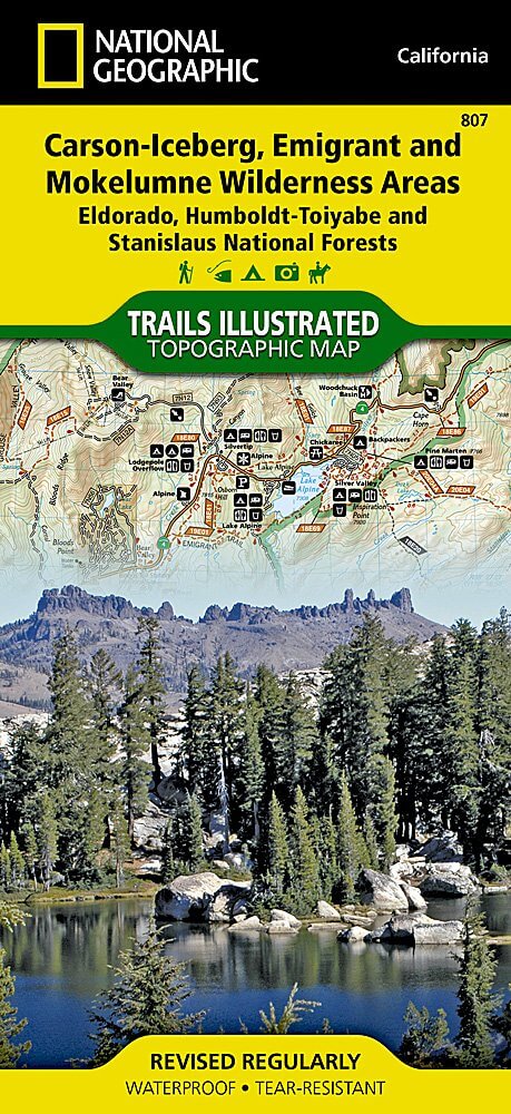
Wandelkaart 807 Carson-Iceberg- Nat.Geo
Omvat eveneens het Mokelumne Wilderness Areas
Korte omschrijving
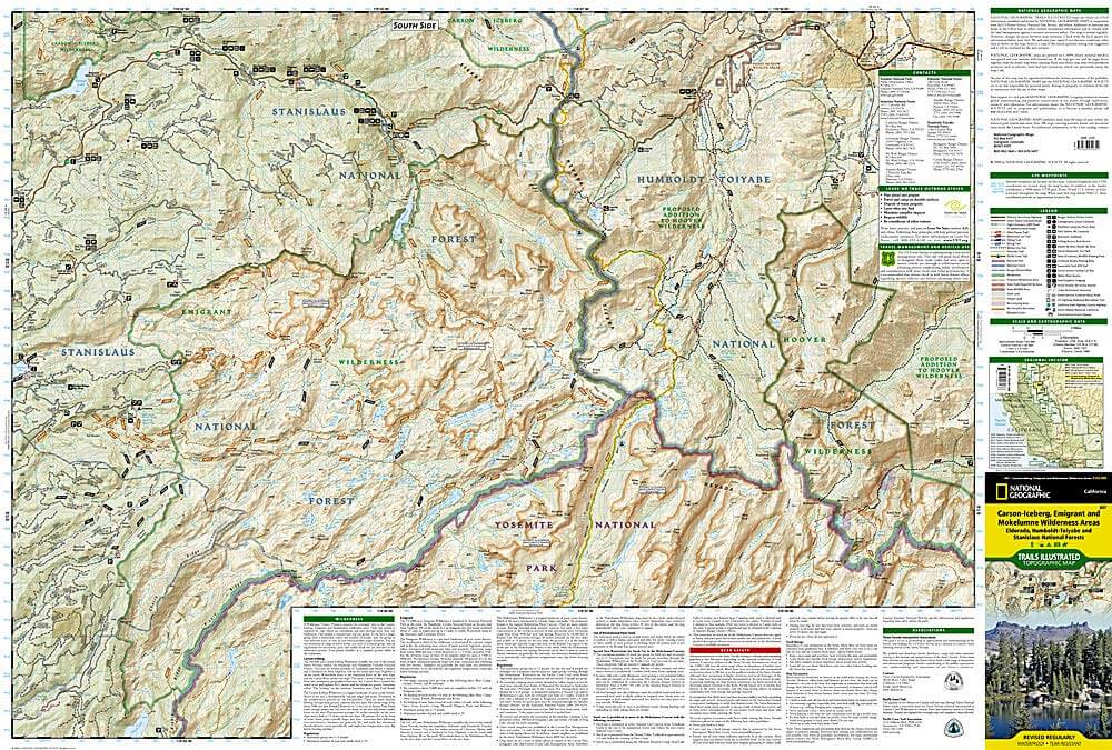
TOPO Wandelkaart 807 - Carson-Iceberg- Nat.Geo Productomschrijving: Een verzameling aan nationale bosgebieden op één kaart en gelegen in Calofornia. Engelse omschrijving: Expertly resear...

Specificaties
- Uitgever: National Geographic
- ISBN-13: 9781566952651
- HOOFDCATEGORIEËN: Wandelkaart
- Activiteiten: Wandelen, Hiking & Trekking
- Regio: Californië, USA
- Land: Verenigde Staten van Amerika (USA)
- Regionale parken: Eldorado National forest, Humboldt-Toiyabe National forest, Mokelumne Wilderness Area, Stanislaus National Forests
- Schaal: 1:63360
- Afmeting: 10x19
- Taal: Engels
Volledige omschrijving
TOPO Wandelkaart 807 - Carson-Iceberg- Nat.Geo
Productomschrijving: Een verzameling aan nationale bosgebieden op één kaart en gelegen in Calofornia.
Engelse omschrijving: Expertly researched and created in partnership with the U.S. Forest Service and others, National Geographic's Trails Illustrated map of Yuba and American Rivers region of Tahoe National Forest provides an unparalleled tool for exploring this historically significant region of the Sierras. Whatever the season, you'll find this map a useful tool in pursuing a host of recreational activities from skiing and snowmobiling to camping and boating. The map features many key points of interest, including French Meadows and New Bullards Bar Reservoirs, Granite Chief Wilderness, South Yuba River Recreation Area, Malakoff Diggins State Historic Park, Donner Memorial State Park and the western rim of the Lake Tahoe Basin Management Unit.
The Tahoe National Forest West map can guide you off the beaten path and back again with miles of clearly marked trails including portions of the Pacific Crest, Pioneer, and Tahoe Rim trails. To help you choose the path that's right for you, trails are color coded according to the designated usage and mileage between intersections is indicated. The Yuba Donner scenic byways is noted for those wishing to take in the scenery by car. Many recreation features are noted as well, including ski areas, campgrounds, trailheads, wildlife viewing areas, boat launches, and swimming and fishing areas. The map base includes contour lines and elevations for summits, passes and many lakes. Every Trails Illustrated map is printed on "Backcountry Tough" waterproof, tear-resistant paper. A full UTM grid is printed on the map to aid with GPS navigation.
Other features found on this map include: Donner Pass, Eldorado National Forest, Granite Chief Wilderness, Mosquito Ridge, Plumas National Forest, Sawtooth Ridge, Tahoe National Forest, Truckee.
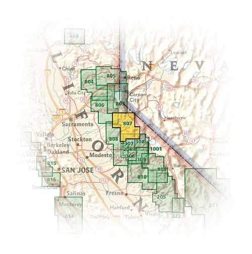
Locatie op kaart
Artikelen uit dezelfde regio

Reisgids L'essentiel de Californie - Lonely Planet • 9782816171204
L'essentiel de Californie du Lonely Planet Description de produits: Le guide Lonely Planet qui va à l'essentiel, pour découvrir le meilleur de la Californie. Un guide tout en couleurs, illustré par des centaines de photos. Sonoma Valley, la Pacific Coast Highway, Yosemite, les parcs à thème, San Francisco, Lake Tahoe, Death Valley… tous les incontournables de la région réunis dans ce volum…

Wandelkaart 256 Mojave National park California - Nat Geo • 9781566953832
Wandelkaart - Mojave National park California - Nat Geo Productomschrijving: Gelegen op de samenloop van de Mojave, Sonoran, en Great Basin woestijn regio's, Mojave National Preserve is een van de meest diverse woestijn omgevingen in de wereld. Verken de Joshua Tree bossen, zandduinen, vulkanische sintelkegels, kilometershoge bergen en uitgestrekte vergezichten van deze unieke regio met Na…

Reisgids California - Insight Guides ENG • 9781839053306
Reisgids California - Insight Guides Productomschrijving: Van het beslissen wanneer je gaat tot kiezen wat je gaat zien als je aankomt, dit is alles wat je nodig hebt om je reis te plannen en het beste van Californië te ervaren, met diepgaande insiderinformatie over must-see topattracties zoals Hollywood en verborgen culturele juweeltjes zoals de Pacific Coast Highway. Engelse om…

Reisgids Experience California - Lonely Planet • 9781838695613
Experience California met Lonely Planet Productomschrijving: Inspirerende full-color reisfotografie en kaarten in de hele gids. Hoogtepunten en trip builders om je te helpen je reis af te stemmen op je persoonlijke behoeften en interesses. Frisse invalshoeken om u te verrassen met dingen waar u niet aan had gedacht, evenals een frisse kijk op de bekende bezienswaardigheden Insider tips hel…

Wandelkaart 308 Yosemite NE- Tuolumne Meadows - Nat Geo • 9781566953696
Yosemite North East - Tuolumne Meadows - Nat Geo Productomschrijving: National Geographic's Trails Illustrated kaart van Yosemite NE: Tuolumne Meadows and Hoover Wilderness is ontworpen om te voldoen aan de behoeften van outdoor enthousiastelingen door het combineren van waardevolle informatie met ongeëvenaarde details van deze prachtige regio van het park. Deskundig onderzocht en gemaakt …