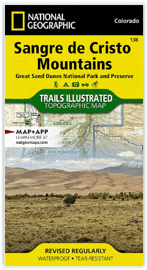
Wandelkaart 138 Sangre de Cristo Mountains - Nat Geo
Great Sand Dunes NP & Preserve
Korte omschrijving
Sangre de Cristo Mountains - Great Sand Dunes NP & Preserve Productomschrijving: Verken de kroon van de zuidelijke Rockies en het wonder van de Great Sand Dunes met National Geographic's Tra...

Specificaties
- Uitgever: National Geographic
- ISBN-13: 9781566953511
- HOOFDCATEGORIEËN: Wandelkaart
- Activiteiten: Wandelen, Hiking & Trekking
- Regio: Colorado, USA
- Land: Verenigde Staten van Amerika (USA)
- Waterafstotende kaart: Nat Geo waterproof series
- Nationale parken: Great Sand Dunes NP & Preserve, Colorado USA
- Schaal: 1:75000
- Afmeting: 10x19
- Taal: Engels
Volledige omschrijving
Sangre de Cristo Mountains - Great Sand Dunes NP & Preserve
Productomschrijving: Verken de kroon van de zuidelijke Rockies en het wonder van de Great Sand Dunes met National Geographic's Trails Illustrated kaart van Sangre de Cristo Mountains. Gemaakt in samenwerking met lokale land management agentschappen, deze deskundig onderzochte kaart levert ongeëvenaarde details en nuttige informatie voor ervaren outdoor liefhebbers en casual bezoekers.
Enkele van de belangrijkste gebieden zijn: Great Sand Dunes National Park and Preserve, Arkansas Headwaters Recreation Area, DeWeese Reservoir, Blanca Wetlands, San Luis State Park, en delen van de Rio Grande en San Isabel national forest.
Omvat: Blanca Peak, Challenger Point, Crestone Needle, Crestone Peak, Electric Peak, Great Sand Dunes National Park, Great Sand Dunes National Preserve, Humboldt Peak, Kit Carson Mountain, Little Bear Peak, Mount Lindsey, Promontory Divide, Rio Grande National Forest, San Isabel National Forest, Sangre de Cristo Wilderness.
Engelse omschrijving: Explore the majesty of the southern Rockies and the wonder of the Great Sand Dunes with National Geographic's Trails Illustrated map of Sangre de Cristo Mountains. Created in partnership with local land management agencies, this expertly researched map delivers unmatched detail and helpful information for experienced outdoor enthusiasts and casual visitors alike. Some of the key areas of interest included are: Great Sand Dunes National Park and Preserve, Arkansas Headwaters Recreation Area, DeWeese Reservoir, Blanca Wetlands, San Luis State Park, and portions of Rio Grande and San Isabel national forests.
This map can guide you off the beaten path and back again with miles of mapped trails and clearly marked trailheads. Cyclists will appreciate the detail paid to the many hard surface and mountain bike trails in the region. Road types are differentiated as well, so you know if the route you choose is a paved, dirt, four-wheel-drive, or high-clearance road. Some of the many recreation features noted include campgrounds, cross country ski areas, snowmobile trails, fishing areas, boat launches, rafting put-ins, and scenic viewpoints. The map base includes contour lines and elevations for summits, passes and major lakes.
Every Trails Illustrated map is printed on "Backcountry Tough" waterproof, tear-resistant paper. A full UTM grid is printed on the map to aid with GPS navigation.
Locatie op kaart
Overzichtskaarten
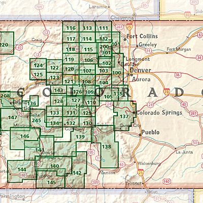
NAT GEO Colorado trail maps
NAT GEO Colorado trail maps

Producten op de overzichtskaart
Klik op een product om naar de detailpagina te gaan.
- Wandelkaart 110 Leadville & Fairplay - Colorado - Nat Geo
- Wandelkaart 127 Aspen - Independence Pass - Colorado USA
- Wandelkaart 137 Pikes Peak & Cañon City - Nat Geo
- Wandelkaart 138 Sangre de Cristo Mountains - Nat Geo
- Wandelkaart 139 La Garita Caldera - Cochetopa - Nat Geo
- Wandelkaart 140 Weminuche Wilderness Colorado USA - Nat Geo
- Wandelkaart 141 Telluride- Silverton- Ouray & Lake City - Nat Geo
- Wandelkaart 144 Durango & Cortez- Colorado - Natgeo
- Wandelkaart 200 Rocky Mountain NP- Colorado - Nat Geo
- Wandelkaart 208 Colorado National Monument - Natgeo
- Wandelkaart 245 Black Canyon of the Gunnison NP - Natgeo
- Wandelkaart 301 Longs Peak -Trails Illustrated N. Trails - Nat Geo
- Wandelkaart 601 Aspen Local Trails - Nat Geo
Artikelen uit dezelfde regio

Wandelkaart 119 Yampa & Gore Pass Colorado USA - Nat Geo • 9781566953931
Yampa & Gore Pass Colorado USA - Nat Geo Productomschrijving: Outdoor enthousiastelingen die het hele jaar door willen genieten van de recreatieve mogelijkheden in en rond het zuiden van Routt National Forest zullen zich verbazen over National Geographic's Trails Illustrated kaart van Yampa en Gore Pass. Gemaakt in samenwerking met de U.S. Forest Service, Bureau of Land Management en ander…
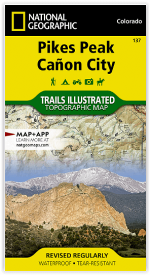
Wandelkaart 137 Pikes Peak & Cañon City - Nat Geo • 9781566953986
Pikes Peak & Cañon City Colorado - National Geographic Productomschrijving: De hoogste top in de zuidelijke Front Range van de Rocky Mountains, Pikes Peak torent boven Colorado Springs uit als een granieten schildwacht. Verken deze en andere geologische attracties zoals Garden of the Gods, Florrisant Fossil Beds en de Royal Gorge met National Geographic's Trails Illustrated kaart van Pikes…
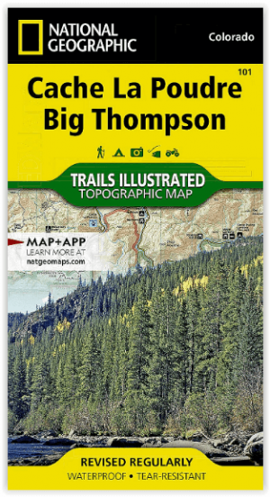
Wandelkaart 101 Cache La Poudre- Big Thompson Colorado - Nat Geo • 9781566953900
Cache La Poudre, Big Thompson Colorado - Nat Geo Productomschrijving: Canyon Lakes Ranger District, dat is het bezienswaardige bosgebied, of zeg maar wildernis gebied dat naast Fort Collins Colorado ligt. Outdoor enthousiastelingen die willen genieten van de recreatieve mogelijkheden net ten oosten van Rocky Mountain National Park zullen National Geographic's Trails Illustrated kaart van C…

Wandelkaart 1201 Colorado Trail Zuid - NAT GEO • 9781566956949
TOPO Wandelkaart 1201 - Colorado Trail Zuid - Durango tot Monarch Productomschrijving: The Colorado Trail is een lange-afstands wandelroute van om en bij de 782 km. Deze loopt van de mond van Waterton Canyon ten zuidwesten van Denver tot Durango in Colorado. Zijn hoogste punt is 4,045 meter boven zeeniveau, en de overgrote meerderheid van de route loopt boven de 3,000 meter. Ondanks zijn h…
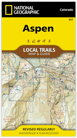
Wandelkaart 601 Aspen Local Trails - Nat Geo • 9781566957526
Wandelkaart Aspen Local Trails - Nat Geo Productomschrijving: Met meer dan 320 km aan wandelpaden op korte afstand van de stad hebben bezoekers van Aspen een benijdenswaardig probleem: met al deze paden om uit te kiezen, waar moeten ze beginnen? De Aspen Local Trails-kaart helpt bij het beantwoorden van deze vraag - waar gaan de plaatselijke bewoners heen als ze een korte wandeling met het…


