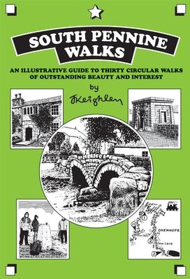
Wandelgids South Pennine Walks - Cicerone
30 wandelingen tussen de Yorkshire Dales en Peak National Park
Korte omschrijving
Wandelgids - South Pennine Walks - Cicerone Productomschrijving: De 30 rondwandelingen in deze gids hebben betrekking op de Zuid-Pennines, de uitgestrektheid van de heuvesl rond de Lancashir...

Specificaties
- Uitgever: CICERONE Press
- ISBN-13: 9781852843908
- HOOFDCATEGORIEËN: Wandelgids
- Activiteiten: Wandelen, Hiking & Trekking
- Regio: North & North East England, Yorkshire Dales
- Land: England
- Nationale parken: Yorkshire Dales NP, England
- Blz.: 72
- Afmeting: 15x22
- Editie: 1
- Taal: Engels
Volledige omschrijving
Wandelgids - South Pennine Walks - Cicerone
Productomschrijving: De 30 rondwandelingen in deze gids hebben betrekking op de Zuid-Pennines, de uitgestrektheid van de heuvesl rond de Lancashire / Yorkshire grens tussen de Yorkshire Dales en het Peak National Park. Deze wandelingen variëren van 4 tot 8 en een halve mijl om gevarieerde en contrasterende landschappen te kunnen verkennen. Door zowel ervaren als beginnende wandelaars kunnen deze routes worden afgelegd.
Product description: The 30 circular walks in this guidebook cover the South Pennines, the expanse of hill country that straddles the Lancashire / Yorkshire border between the Yorkshire Dales and Peak National Parks. These walks range from four to eight and a half miles and explore an area of varied and contrasting landscapes. For experienced and novice walkers.
Seasons:
Year-round walking possibilities.
Centres:
Heptonstall, Todmorden, Hebden Bridge, Haworth, Holme Chapel. The area is within easy reach of Manchester, Huddersfield, Leeds, Bradford, Sheffield and Halifax.
Difficulty:
Nothing difficult. Walks of no more than eight or nine miles.
Must See:
Hardcastle Crags, Stoodley Pike, Pendle Hill, the ancient packhorse bridge at Wycoller... whichever you choose, you will be delighted.
Locatie op kaart
Artikelen uit dezelfde regio

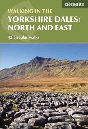
Wandelgids Walking the Yorkshire Dales - N & E - Cicerone • 9781852847982
Wandelgids - Walking the Yorkshire Dales - N & E - Cicerone Productomschrijving: VOL 2 - Deze gids bevat 43 wandelingen in het noorden en het oosten van de Yorkshire Dales. Het onderzoekt de dalen, heuvels en heidevelden tussen Kirkby Stephen en Pateley Bridge. Wandelingen variëren van zachte 3 mijlwandelingen, tot moeilijkere en lange dagwandelingen over de Howgills, Wensleydale, Swaledal…

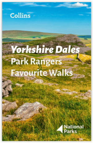
Wandelgids Park Rangers Favourite Walks Yorkshire Dales - Collins • 9780008462659
Park Rangers Favourite Walks Yorkshire Dales - Collins Productomschrijving: Wandelgids voor het Yorkshire Dales National Park, met 20 beste routes uitgekozen door de parkwachters. Elke wandeling varieert in lengte van 2 tot 10 km en kan in minder dan 4 uur worden afgelegd. Engelse omschrijving: Walking guide to the Yorkshire Dales National Park, with 20 best routes chosen by the park r…

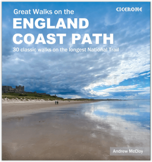
Wandelgids Great Walks on the England Coast Path - Cicerone • 9781852849894
Great Walks on the England Coast Path - Cicerone Engelse omschrijving: At around 4500 km (2800 miles), the England Coast Path is the longest coastal trail in the world. This inspirational large-format guide presents a handpicked selection of 30 highlight sections, offering a taste of England's stunning and diverse shoreline. Routes range from 9 to 45km, spanning between 3 hours and 2 days,…

Wandelgids The Pennine Way - Cicerone • 9781852849061
Wandelgids - The Pennine Way - Cicerone Productomschrijving: De Pennine Way National Trail met OS kaart boekje. De route van de 320 km van Edale naar Kirk Yetholm duurt drie weken om te lopen en is geschikt voor fit en langeafstand ervaren wandelaars. De route doorkruist het Peak District NP, de Yorkshire Dales NP en de North Pennines nationale parken. Bevat afzonderlijk boekje van de rout…

Wandelgids The Pennine Way Map Booklet - Cicerone • 9781852849078
Wandelgids - The Pennine Way Map Booklet - Cicerone Productomschrijving: De Pennine Way is een lange-afstandwandelpad in Engeland. Het pad meet 463 km, en loopt van Edale in het noorden van het nationaal park Peak District, noordwaarts door de Yorkshire Dales en het Northumberland National Park, om te eindigen in Kirk Yetholm, vlak over de grens met Schotland. Detail uitgever: Britain'…


