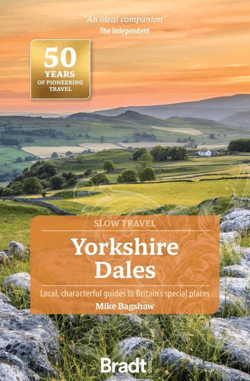
Reisgids Go Slow Yorkshire Dales NP - Bradt Travel guides
Met Nidderdale AONB (Area of Outstanding Natural Beauty)
Korte omschrijving
Reisgids Yorkshire Dales NP - Bradt Productomschrijving: Deze nieuwe, grondig bijgewerkte derde editie van Yorkshire Dales (Slow Travel), onderdeel van Bradt's serie kenmerkende 'Slow' reisg...

Specificaties
- Uitgever: Bradt guides
- ISBN-13: 9781804692165
- HOOFDCATEGORIEËN: Reisgids
- Activiteiten: Toerisme
- Auteur: Mike Bagshaw
- Regio: Yorkshire Dales, Yorkshire, England
- Land: England
- Nationale parken: Yorkshire Dales NP, England
- AONB - Area of Outstanding Beauty: Nidderdale AONB
- Blz.: 224, 263
- Afmeting: 14x22
- Editie: 3
- Taal: Engels
- Reeks: Go slow, Bradt guides
Volledige omschrijving
Reisgids Yorkshire Dales NP - Bradt
Productomschrijving: Deze nieuwe, grondig bijgewerkte derde editie van Yorkshire Dales (Slow Travel), onderdeel van Bradt's serie kenmerkende 'Slow' reisgidsen voor lokale regio's in het Verenigd Koninkrijk, blijft de meest uitgebreide gids voor het gebied en beslaat het hele Yorkshire Dales National Park en Nidderdale Area of Outstanding Natural Beauty plus nabijgelegen 'slow' en historische steden en dorpen.
Het Yorkshire Dales National Park had uitgevonden kunnen zijn voor moderne reizen. De grotten, valleien, watervallen en kalksteengeologie van de regio zijn wereldberoemd. Op korte loopafstand vind je traditionele pubs en cafés die perfect geschikt zijn voor de filmset en waar de kans groot is dat je een praatje maakt met herders en beroemdheden.
Engelse omschrijving: This new, thoroughly updated third edition of Yorkshire Dales (Slow Travel), part of Bradt’s series of distinctive ‘Slow’ travel guides to local UK regions, remains the most comprehensive guide to the area and covers the whole of the Yorkshire Dales National Park and Nidderdale Area of Outstanding Natural Beauty plus nearby ‘slow’ and historic towns and villages.
The Yorkshire Dales national park could have been invented for modern travel. The region’s cinematic caves, valleys, waterfalls and limestone geology are famous round the world. Within a short walk are filmset-perfect traditional pubs and cafes where you are as likely to chat to shepherds as celebrities.
The Dales have never been places to hurry. In the new travel world where ‘slow’, ‘sustainable’ and ‘local’ are many people’s watchwords, this remarkable English region offers much to savour at leisure – like one of its renowned artisan cheeses or beers. Written and updated by two Yorkshire residents and outdoors enthusiasts, Bradt’s Yorkshire Dales complements well-known honeypots (Aysgarth Falls, Malham, Grassington) with off-piste gems that you’ll have to yourself, whether wild swimming spots, hidden caves, Dark Skies sites or traditional stone villages.
With hundreds of square kilometres of open-access land to explore, the Dales are one of the UK’s premier hillwalking destinations, hosting much-loved routes such as the Pennine Way, Three Peaks, Dales Way and the recently upgraded Coast to Coast. The Dales have also become known as one of England’s finest places for cycling, whether for family trips, e-bikers or hardcore road racers, prompting hopes that the Tour de Yorkshire will return.
Drop in to the Tan Hill Inn, Britain’s highest pub, where sheep regularly warm themselves by the roaring fire; journey into the depths of Gaping Gill, one of Britain’s largest underground chambers; visit book-loving Sedbergh, where even the bus stops have bookshelves; or take a scenic rail trip on the famous Settle-Carlisle line, crossing the country’s longest railway viaduct. History buffs will love medieval castles including Skipton and Richmond, while wildlife-watchers will enjoy the birds of sparkling rivers and limestone-pavement flora. Bradt’s Yorkshire Dales (Slow Travel) is the perfect companion for a successful trip.
Locatie op kaart
Artikelen uit dezelfde regio

Wandelkaart The Dales Way Yorkshire - Harvey maps • 9781851374281
Wandelkaart The Dales Way Yorkshire - Harvey maps Productomschrijving: Toont de gehele 130km (81 mijl) van The Dales Way van Ilkley in Yorkshire door de Dales via Grassington, Dent en Buckden naar Bowness on Windermere in het Lake District. Bevat alle 3 links: van Leeds, Shipley (Bradford) en Harrogate. Met informatie over het vinden van accommodatie, camping, voedsel. Tevens is de routebe…

Wandelkaart North York Moors Oost XT40 - Harvey Maps • 9781851376230
Wandelkaart North York Moors Oost - Harvey Maps Productomschrijving: Omvat een groot gebied maar is praktisch en compact, zakformaat. Gedetailleerde kaart voor lopers en wandelaars van het oostelijk gedeelte van het Nationaal Park North York Moors. Omvat: Robin Hood's Bay, Flyingdales Moor en het populaire Rosedale Abbey. - De North Yorkshire Steam spoorweg en de Lyke Wake Walk zij…

Wandelgids South Pennine Walks - Cicerone • 9781852843908
Wandelgids - South Pennine Walks - Cicerone Productomschrijving: De 30 rondwandelingen in deze gids hebben betrekking op de Zuid-Pennines, de uitgestrektheid van de heuvesl rond de Lancashire / Yorkshire grens tussen de Yorkshire Dales en het Peak National Park. Deze wandelingen variëren van 4 tot 8 en een halve mijl om gevarieerde en contrasterende landschappen te kunnen verkennen. Door z…

Wandelkaart 289 Leeds Harrogate Wetherby & Pontefract - OSI • 9780319244869
Wandelkaart Leeds- Harrogate- Wetherby & Pontefract England Productbeschrijving: OS Explorer kaart 289 dekt Harrogate tot Pontefract, met inbegrip van Leeds en de rivieren Nidd, rivier, Aire en Calder. Hoogtepunten omvatten de Dales Way en de Trans Pennine Trail. De OS Explorer kaart voor Leeds is beschikbaar in zowel de standaard papieren versie en weerbestendige 'Actief' versie. Prod…

Wandelgids The Pennine Way - Trailblazer • 9781912716333
The Pennine Way 420 km - Trailblazer Productomschrijving: De Pennine Way, het bekendste nationale pad van Groot-Brittannië, slingert zich 420 km over woeste heidevelden en door stille dalen langs de ruggengraat van Noord-Engeland. Het begint in Edale in het Peak District en eindigt net over de grens in Schotland bij Kirk Yetholm. Dit prachtige wandelpad doorkruist 3 nationale parken - het …


