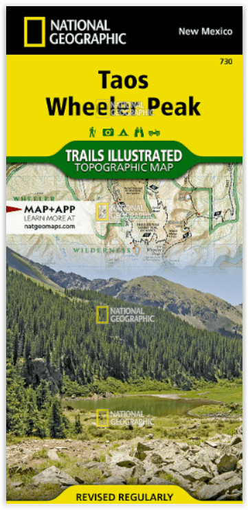
Wandelkaart 730 Taos Wheeler Peak - New Mexico - Nat Geo
In the Sangre de Cristo Mountains
Korte omschrijving
Taos Wheeler Peak - New Mexico - Nat Geo Omvat: Agua Fria Peak, Baldy Mountain, Carson National Forest, Cerro Vista, Eagle Nest Lake, Latir Peak Wilderness, Palo Flechado Pass, Wheeler Peak,...

Specificaties
- Uitgever: National Geographic
- ISBN-13: 9781566953092
- HOOFDCATEGORIEËN: Wandelkaart
- Activiteiten: Wandelen, Hiking & Trekking
- Regio: New Mexico, USA
- Land: Verenigde Staten van Amerika (USA)
- Waterafstotende kaart: Nat Geo waterproof series
- Schaal: 1:63360
- Afmeting: 10x19, 11x24
- Taal: Engels
Volledige omschrijving
Taos Wheeler Peak - New Mexico - Nat Geo
Omvat: Agua Fria Peak, Baldy Mountain, Carson National Forest, Cerro Vista, Eagle Nest Lake, Latir Peak Wilderness, Palo Flechado Pass, Wheeler Peak, Wheeler Peak Wilderness.
Engelse omschrijving: The northern New Mexico town of Taos lies in the high desert bounded by the Sangre de Cristo Mountains. In those mountains northeast of the town, Wheeler Peak rises, the highest natural point in New Mexico. Expertly researched and created in partnership with local land management agencies, National Geographic's Trails Illustrated map of Taos, Wheeler Peak provides an unparalleled tool for exploring this unique region of historic pueblos, scenic rivers, enchanting desert, and picturesque mountains. Some of the many key areas of interest included are Carson National Forest, Rio Grande Del Norte National Monument, portions of Rio Honda and Red River, Coyote Creek State Park, Wheeler Peak and Latir Peak wilderness areas, Eagle Nest Lake State Park, Colin Neblett State Wildlife Area, and Taos Pueblo, a UNESCO World Heritage Site.
With miles of mapped trails including Columbine Twining National Recreation Trail and select mountain bike routes, this map will prove handy in guiding you off the beaten path and back again. Trail mileage between intersections will help you choose the path that's right for you. The Wild Rivers and Enchanted Circle scenic byways are noted for those wishing to take in the scenery by car. Recreation features are clearly marked, including campgrounds, trailheads, interpretive trails, fishing areas, boat ramps, whitewater access, horse camps, and ski areas. The map base includes contour lines and elevations for summits, passes and lakes.
Every Trails Illustrated map is printed on "Backcountry Tough" waterproof, tear-resistant paper. A full UTM grid is printed on the map to aid with GPS navigation.
Locatie op kaart
Overzichtskaarten

NAT GEO New Mexico USA
NAT GEO New Mexico USA

Producten op de overzichtskaart
Klik op een product om naar de detailpagina te gaan.
Artikelen uit dezelfde regio

Wandelkaart 247 Carlsbad Caverns National Park - Nat Geo • 9781566954891
Carlsbad Caverns National Park New Mexico - Nat Geo Productomschrijving: National Geographic's Trails Illustrated kaart van Carlsbad Caverns National Park is de meest uitgebreide kaart die beschikbaar is voor degenen die zowel boven als onder de grond op verkenning gaan in het prachtige deel van de Guadalupe Mountains in het zuidoosten van New Mexico. Deze unieke kaart is gemaakt in samenw…

Reisgids USA Southwest & National Parks - DK Eyewitness • 9780241365519
USA Southwest & National Parks Omvat: Arizona, Las Vegas, Southern Utah, the Four Corners & New Mexico. Productomschrijving: Staar naar de diepten van de Grand Canyon, ervaar de glitter en glamour van de Las Vegas strip, beklim de rotsachtige overspanningen van Arches National Park of wandel door het historische Santa Fe: alles wat u moet weten is overzichtelijk weergegeven in kleurgec…


