
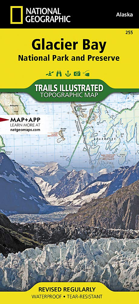
Wandelkaart 255 Glacier Bay NP- Alaska - Nat Geo
Een jaarlijks gemiddeld van 380.000 bezoekers
Korte omschrijving
TOPO Wandelkaart 255 - Glacier Bay NP- Alaska - Nat Geo Productomschrijving: Glacier Bay National Park and Preserve is een nationaal park ter grootte van 13.287 km² in het zuiden van Alaska...

Specificaties
- Uitgever: National Geographic
- ISBN-13: 9781566953863
- HOOFDCATEGORIEËN: Wandelkaart
- Activiteiten: Wandelen, Hiking & Trekking
- Regio: Alaska, USA
- Land: Verenigde Staten van Amerika (USA)
- Nationale parken: Glacier Bay NP, Alaska USA
- Schaal: 1:240000
- Afmeting: 10x19, 11x24
- Taal: Engels
Volledige omschrijving
TOPO Wandelkaart 255 - Glacier Bay NP- Alaska - Nat Geo
Productomschrijving: Glacier Bay National Park and Preserve is een nationaal park ter grootte van 13.287 km² in het zuiden van Alaska in de Verenigde Staten. Het park kan alleen over water of door de lucht worden bereikt omdat er geen wegen naartoe lopen. Desondanks bezoeken jaarlijks gemiddeld 380.000 bezoekers het park.
Engelse omschrijving: National Geographic's Trails Illustrated map of Glacier Bay National Park and Preserve in Alaska's panhandle is perfect for hiking, camping, boating, paddling, and wildlife viewing in this scenic, rugged frontier. Created in partnership with local land management agencies, this expertly researched map delivers unmatched detail and helpful information for experienced outdoor enthusiasts and casual visitors alike.
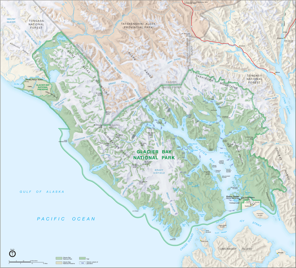
Some of the key areas of interest covered include Glacier Bay Wilderness, portions of Tongass National Forest, Chicagof Island, Endicott River Wilderness, Chilkat State Park, Chilkat Islands, Sullivan Island State Marine Park, Pleasant Island, Lemesurier Island, Inian Islands, and Tatshenshini Alsek Park. Waterways include the Gulf of Alaska; Glacier, Tituya, Berners, Tidal, Scidmore, and Taylor bays; Cross Sound; Icy Strait; Lynn Canal; North Passage; and Geikie, Muir, Tarr, Chilkoot, Chilkat, Wachusett, Queen, and Rendu inlets. The print version of this map contains detailed insets of Tarr and Johns Hopkins inlets, Gustavus, and Lamplugh Glacier.
Transportation in Glacier Bay's wilderness can be challenging, but you'll find the information you need on this map with an accurate road network, ferries, boat ramps, harbors and anchorages, seaplane bases, seaplane anchorages, airports, and landing strips. In addition to contour lines, shaded relief, and summit elevations, this map highlights the many waterways with bathymetry, depths, and navigational aids. A handy distance chart will help you plan your outings. Many recreation features and facilities are noted as well, including hiking trails, campgrounds, picnic areas, rental cabins, lodging, boat fueling stations, ranger stations, and scenic byways. Every Trails Illustrated map is printed on "Backcountry Tough" waterproof, tear-resistant paper. A full UTM grid is printed on the map to aid with GPS navigation.
Other features found on this map include: Alsek Glacier, Alsek River, Brady Glacier, Cape Fairweather, Cape Spencer, Carroll Glacier, Casement Glacier, Chilkat Lake, Chilkat Range, Chilkat River, Cross Sound, Endicott River Wilderness, Fairweather Range, Glacier Bay, Glacier Bay National Park, Glacier Bay National Preserve, Grand Plateau Glacier, Icy Point, Icy Strait, Johns Hopkins Inlet, La Chaussee Spit, Muir Glacier, Muir Inlet, Novatak Glacier, Palma Bay, Plateau Glacier, Pleasant Island, Pleasant/Lemusurier/Inian Islands Wilderness, Tarr Inlet, Tongass National Forest.
Overzichtskaarten

NAT GEO Alaska trails map
NAT GEO Alaska trails map
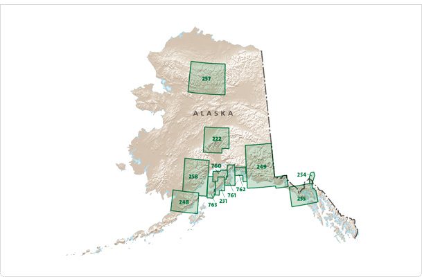
Producten op de overzichtskaart
Klik op een product om naar de detailpagina te gaan.
- Wandelkaart 231 Kenai Fjords NP- Alaska - Nat Geo
- Wandelkaart 248 Katmai NP- Alaska - Nat Geo
- Wandelkaart 254 Chilkoot Trail - Klondike Gold Rush - Nat Geo
- Wandelkaart 255 Glacier Bay NP- Alaska - Nat Geo
- Wandelkaart 257 Gates of the Arctic NP- Alaska - Nat Geo
- Wandelkaart 760 Kenai National Wildlife Refuge - Alaska - Nat Geo
- Wandelkaart 761 Prince William Sound West - Alaska - Nat Geo
- Wandelkaart 763 Kachemak Bay State Park - Alaska - Nat Geo
Artikelen uit dezelfde regio
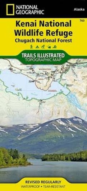
Wandelkaart 760 Kenai National Wildlife Refuge - Alaska - Nat Geo • 9781566953733
TOPO Wandelkaart 760 - Kenai National Wildlife Refuge - Alaska Productomschrijving: The Kenai National Wildlife Refuge is a 1.92-million-acre (7,770 km2) wildlife habitat preserve located on the Kenai Peninsula of Alaska, United States. It is adjacent to Kenai Fjords National Park. Engelse omschrijving: National Geographic's Trails Illustrated map of Kenai National Wildlife Refuge was …

Wandelkaart 254 Chilkoot Trail - Klondike Gold Rush - Nat Geo • 9781566954112
TOPO Wandelkaart 254 - Chilkoot Trail - Nat Geo Klondike Gold Rush - (1896–1899) Productomschrijving: Chilkoot Trail is een 53 km lange tocht door de Coast Mountains vertrekkende vanDyea, Alaska, in Amerika, tot Bennett, British Columbia, in Canada. Het omvatte al altijd een belangrijke route van de kust naar de Yukon goldfields in de late 1890s. De route werd overbodig in 1899 toen er…

Wandelkaart 764 Chugach State Park- Anchorage - Natgeo • 9781566956789
TOPO Wandelkaart 764 - Chugach State Park- Anchorage - Natgeo Productomschrijving: Chugach State Park omvat een dikke 2004 M² KM, direct ten oosten van Anchorage Bowl in south-central Alaska. Engelse omschrijving: National Geographic's Trails Illustrated map of Chugach State Park and Anchorage combines unmatched detail with helpful information to offer an invaluable tool for making the…

Reisgids Alaska - Insight Guides ENG • 9781789198713
Reisgids Alaska USA - Insight Guides Productomschrijving: Van het beslissen wanneer te gaan, om te kiezen wat te zien als je aankomt, deze Insight Guides uitgave is alles wat je nodig hebt om uw reis te plannen en ervaar het beste van Alaska, met diepgaande inside-informatie over must-see, top attracties zoals Denali en verborgen culturele juweeltjes zoals Flattop Mountain. Engelse om…
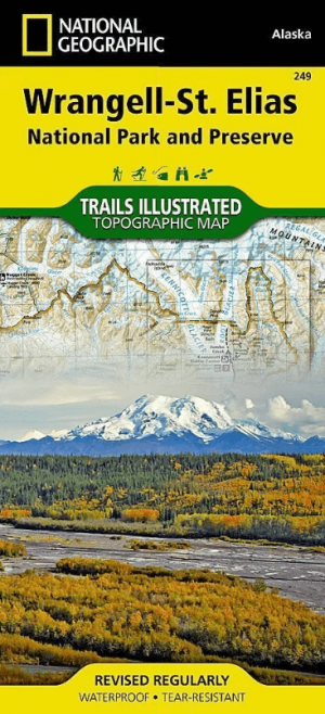
Wandelkaart 249 Wrangell St.Elias NP - Nat.Geo. • 9781566953825
Wrangell St.Elias NP - National Geographic Productomschrijving: Met 13,2 miljoen hectare, zou Wrangell-St. Elias binnen de grenzen passen van Yellowstone, Grand Canyon, Glacier, Olympic en Yosemite National Parks met zelf nog ruimte over. Het strekt zich uit van een van de hoogste toppen van Noord-Amerika > Mount Stain Elias, tot aan de oceaan. Meer dan een kwart van het park is bedekt met…