
Wandelkaart 134 Black Mesa - Curecanti Pass Colorado - Nat Geo
Gunnison national Forest- West Elk Mountains- West Elk Peak

Korte omschrijving
Wandelkaart Black Mesa - Curecanti Pass Colorado - Nat Geo Productomschrijving: Outdoor enthousiastelingen die de afgelegen en ongetemde bergen van westelijk Colorado willen verkennen zullen...

Specificaties
- Uitgever: National Geographic
- ISBN-13: 9781566954303
- HOOFDCATEGORIEËN: Wandelkaart
- Activiteiten: Wandelen, Hiking & Trekking
- Regio: Colorado, USA
- Land: Verenigde Staten van Amerika (USA)
- Schaal: 1:40000
- Afmeting: 10x19
- Taal: Engels
Volledige omschrijving
Wandelkaart Black Mesa - Curecanti Pass Colorado - Nat Geo
Productomschrijving: Outdoor enthousiastelingen die de afgelegen en ongetemde bergen van westelijk Colorado willen verkennen zullen zich verbazen over National Geographic's Trails Illustrated kaart van Black Mesa en Curecanti Pass. Gemaakt in samenwerking met de U.S. Forest Service, dekt deze deskundig onderzochte kaart, het recreatiegebied in het gebied met ongeëvenaarde detail. Onder de belangrijkste punten van belang zijn Gunnison National Forest, West Elk Mountains en Wilderness, Sapinero, Centennial en Gunnison State Wildlife Areas, Curecanti National Recreation Area en Rainbow Lake.
Andere kenmerken op deze kaart zijn: Gunnison National Forest, West Elk Mountains, West Elk Peak, West Elk Wilderness.
Engelse omschrijving: Outdoor enthusiasts seeking to explore the remote and untamed mountains of western Colorado will marvel at National Geographic's Trails Illustrated map of Black Mesa and Curecanti Pass. Created in cooperation with the U.S. Forest Service, this expertly researched map covers the recreational land in the area with unparalleled detailed. Among the main points of interest are Gunnison National Forest, West Elk Mountains and Wilderness, Sapinero, Centennial and Gunnison State Wildlife Areas, Curecanti National Recreation Area and Rainbow Lake.
Other features found on this map include: Gunnison National Forest, West Elk Mountains, West Elk Peak, West Elk Wilderness.
Get off the beaten path and back on again by following the map along hiking and motorized trails; hard surface and mountain bike routes; and snowmobile and winter use trails. To aid in your navigation of the area, the map also includes contour lines, elevations, labeled peaks, summits and passes, water features and selected waypoints as well as a complete road network of the area, including numbered Forest Service roads and BLM routes. Some of the other recreation features pinpointed are areas for camping, cross-country and alpine skiing, climbing, fishing and picnicking. Additionally, wilderness regulations, survival tips, Leave No Trace guidelines and essential contact information is provided.
Every Trails Illustrated map is printed on "Backcountry Tough" waterproof, tear-resistant paper. A full UTM grid is printed on the map to aid with GPS navigation.
Locatie op kaart
Artikelen uit dezelfde regio

Reisgids Colorado - Insight Guides ENG • 9781789198393
Reisgids Colorado USA - Insight Guides ENG Productomschrijving: Van het beslissen wanneer je gaat, tot het kiezen van wat te zien als je aankomt, deze gids voor Colorado is alles wat je nodig hebt om je perfecte reis te plannen, met insider informatie over must-see, top attracties zoals Denver Art Museum, Pikes Peak en het Old Fort National Historic Site, en culturele juweeltjes zoals de g…

Wandelkaart 110 Leadville & Fairplay - Colorado - Nat Geo • 9781566953641
TOPO Wandelkaart 110 - Leadville & Fairplay - Colorado - National Geographic Productomschrijving: Leadville & Fairplay zijn locaties in de Amerikaanse staat Colorado. De dorpen liggen op een hoogte van 3000 meter, en zijn daarmee een van de hoogstgelegen steden van Colorado. In het begin van de tijd van de goudkoorts ontstond de nederzetting, in het jaar 1859. Het is een meestal rustige st…

Wandelkaart 144 Durango & Cortez- Colorado - Natgeo • 9781566954631
TOPO Wandelkaart 144 - Durango & Cortez- Colorado - Natgeo Productomschrijving: Deze kaart biedt u alle soorten routes aan in de regio tussen Durango & Cortez in Colrado. UIteraard hebben wij het hier over de wandelroutes, maar eveneens kan er hier aan moutainbiken worden gedaan, of paardrijden op dezelfde routes. Engelse omschrijving: National Geographic's Trails Illustrated map of D…
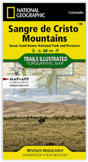
Wandelkaart 138 Sangre de Cristo Mountains - Nat Geo • 9781566953511
Sangre de Cristo Mountains - Great Sand Dunes NP & Preserve Productomschrijving: Verken de kroon van de zuidelijke Rockies en het wonder van de Great Sand Dunes met National Geographic's Trails Illustrated kaart van Sangre de Cristo Mountains. Gemaakt in samenwerking met lokale land management agentschappen, deze deskundig onderzochte kaart levert ongeëvenaarde details en nuttige informati…
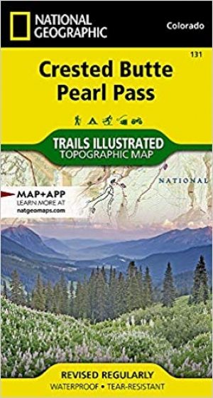
Wandelkaart 131 Crested Butte- Pearl Pass - Nat geo • 9781566952477
TOPO Wandelkaart 131 - Crested Butte- Pearl Pass Colorado, USA - National geographic Productomschrijving: Crested Butte is een rustige wandel- en MTB uitvalsbasis in Gunnison County, Colorado, United States. Omvat de oude kool industrie, en noemt nu "the last great Colorado ski town". Crested Butte is aeveneens een locatie voor skiërs & mountainbiking, als ook een verzameling van andere ou…