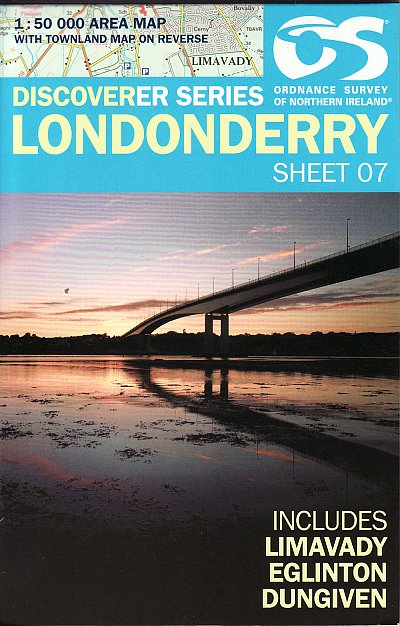
Wandelkaart 07 Discoverer Londonderry- Ulster - N.Ireland - OSNI
De locatie van de stad zelf is echt vol laagbouw
Korte omschrijving
Wandelkaart Londonderry - Ulster Northern Ireland - OSI Productomschrijving: County Londonderry meerbepaald is een van de graafschap van Ierland, en is een van de zes graafschappen van Noord...

Specificaties
- Uitgever: Ordnance Survey
- ISBN-13: 9781905306961
- HOOFDCATEGORIEËN: Wandelkaart
- Activiteiten: Wandelen, Hiking & Trekking
- Regio: Ulster, Ireland
- Land: Ierland
- Schaal: 1:50000
- Afmeting: 11x18
- Taal: Engels
- Reeks: OSNI, Northern Ireland
Volledige omschrijving
Wandelkaart Londonderry - Ulster Northern Ireland - OSI
Productomschrijving: County Londonderry meerbepaald is een van de graafschap van Ierland, en is een van de zes graafschappen van Noord-Ierland. Het ligt in de provincie Ulster. Het is genoemd naar de hoofdstad Derry. De locatie van de stad zelf is echt vol laagbouw, de rest rond de stad van Derry, is puur natuur, en een uitgroepen super locatie voor de Ieren. De plaats is hoe langer hoe meer in trek bij natuurliefhebbers, want er is weinig te bespeuren, en er bestaan al sinds jaar en dag wandelroutes dit toch wel uitstekende gebied.
Engelse omschrijving: With its 2 cm to 1 km, 1 inche to 1 mile scale the Discoverer series completely covers Northern Ireland with detailed maps, making it a popular choice for tourists and residents alike. Each large-format map shows an area of 40km by 30km. Discoverer maps are of particular interest to anyone keen to enjoy the beauty of the countryside, whether walking, cycling, horse riding or driving. In particular, outdoor enthusiasts will appreciate the unambiguous Rights of Way information.
Locatie op kaart
Overzichtskaarten

OSNI Northern Ireland - OSNI
OSNI Northern Ireland - OSNI

Producten op de overzichtskaart
Klik op een product om naar de detailpagina te gaan.
- Wandelkaart 04 Discoverer Coleraine- Northern Ireland - OSNI
- Wandelkaart 05 Discoverer Ballycastle - Discoverer series - OSNI
- Wandelkaart 07 Discoverer Londonderry- Ulster - N.Ireland - OSNI
- Wandelkaart 08 Ballymoney County Antrim - OSNI
- Wandelkaart 09 Larne County Antrim - OSNI
- Wandelkaart 13 The Sperrins Ulster N. Ireland - OSNI
- Wandelkaart 14 Discoverer Lough Neagh - Antrim - N.Ireland - OSNI
- Wandelkaart 17 Discoverer Lower Lough Erne - OSNI
- Wandelkaart 18 Discoverer Enniskillen & Irvinestown - OSNI
- Wandelkaart 19 Armagh Northern Ireland - Ordnance Survey
- Wandelkaart 20 Discoverer Craigavon- N.Ireland - OSNI
- Wandelkaart 21 Strangford Lough County Cork - OSNI
- Wandelkaart 27 Upper Lough Erne (Lisnaskea) - OSNI
- Wandelkaart 28 Monaghan-Keady (Castleblayney) - OSNI
- Wandelkaart 29 Discoverer The Mournes - OSNI
Artikelen uit dezelfde regio

Wandelkaart 13 The Sperrins Ulster N. Ireland - OSNI • 9781905306848
The Sperrins Ulster Northern Ireland - OSI Productomschrijving: De Sperrins of genaamd de Sperrin Mointains, zijn een gebergte in N.W. Noord-Ierland, meer bepaald in de districten Mid Ulster, Fermanagh and Omagh en Derry and Strabane. Key Features: - Each map covers an area of 40km x 30km and is based on the Irish Grid co-ordinate system - The OSNI Discoverer Series is fully compat…


