Wandelgids Lakeland short walks book 3- West Lakeland - Cicerone
Beautifull landscapes to enjoy yourself
Korte omschrijving
Wandelgids -Lakeland short walks book 3- West Lakeland - Cicerone Routes bedekken Rydal, Grasmere, Langdale, little Langdale, Coniston, Torver en het zuiden, Grizedale, Satterthwaite, e.a. ...

Specificaties
- Uitgever: CICERONE Press
- ISBN-13: 9781852843083
- HOOFDCATEGORIEËN: Wandelgids
- Activiteiten: Wandelen, Hiking & Trekking
- Regio: Cumbria & Lake District, England
- Land: England
- Nationale parken: Lake District NP, Cumbria England
- Blz.: 240
- Afmeting: 12x17
- Editie: 1
- Taal: Engels
Volledige omschrijving
Wandelgids -Lakeland short walks book 3- West Lakeland - Cicerone
Routes bedekken Rydal, Grasmere, Langdale, little Langdale, Coniston, Torver en het zuiden, Grizedale, Satterthwaite, e.a.
Productomschrijving: Een gids van korte wandelingen in het zuiden van het engelse Lake District, het VK, de derde van deze drie-delige lake landserie.
Routes bedekken: Rydal, Grasmere, Langdale, Little Langdale, Coniston, Torver en het zuiden, Grizedale, Satterthwaite, het Rusland Vallei, Winster Vallei, Troutbeck, Kentmere, Longsleddale en doorkruist Tebay.
Detail: Deze gids over wandelen in het Lake District is derde van de drie in de Korte Wandelingen in Lakeland-trilogie, die ook betrekking heeft op wandelroutes in Noord-Lakeland (boek 2) en West Lakeland (boek 1).
Engelse omschrijving: This guidebook contains 50 short hald to full-day walks in the western Lake District. Walking areas include Duddon Valley and the Coast, Eskdale, Wasdale, Ennerdale, Lorton Vale, Buttermere and the north-west lakes. Part of a three-volume series focusing on low-level walks (with the occasional peak) between 4 and 8 miles, graded for difficulty.
Seasons:
Year round, but be prepared under winter conditions for things to be much tougher.
Centres:
Access to the West Lakes is through either Keswick in the north or through the South Lakes (or through Wrynose and Hardknott passes).
Difficulty:
Half- to full-day walks, mainly in lower fells and valleys, plus worthwhile summits. Easier routes than the high fells.
Must See:
Wild Wasdale, remote Ennerdale, high ridges around Buttermere, plus less-known and quieter walks down to the coast near St Bees and Ravenglass.
Locatie op kaart
Artikelen uit dezelfde regio

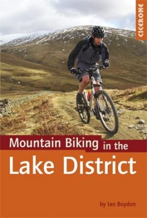
Mountainbikegids VTT in the Lake District - Cicerone • 9781852846442
Mountainbikegids - VTT in the Lake District - Cicerone Productomschrijving: Een handige gids die 24 beoordeelde mountainbike routes beschrijft in het Lake District, en biedt een aantal van de beste MTB in het Verenigd Koninkrijk. De cirkelvormige routes bieden een spectaculair uitzicht op de meren, en zijn geschikt voor alle niveau's van de renners. Geregeld door de moeilijkheid, vanuit Ke…

Wandelkaart Lake District National Park XT40 - Harvey Maps • 9781851376865
Wandelkaart Lake District XT40 - Harvey Maps Productomschrijving: Een nieuwe generatie kaarten van stevig polyethyleen. Ze zijn stevig, duurzaam en 100% waterdicht, compact en licht om mee te nemen. Deze all weather Britse bergkaart voor klimmers, bergwandelaars, bergbeklimmers en mountainbikers is uitgegeven door HARVEY in samenwerking met de British Mountaineering Council. De beroemd…

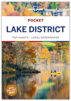
Reisgids Lake District pocket guide - Lonely Planet • 9781787017610
Lake District pocket guide - Lonely Planet Product description: Covers Windermere, Grasmere, Coniston, Hawkeshead, Keswick, Derwentwater, Ullswater, Cumbrian Coast, Inland Cumbria and more The Perfect Choice: Lonely Planet's Pocket Lake District is our colourful, easy to use and handy guide that literally fits in your pocket, providing on-the-go assistance for those seeking the best si…

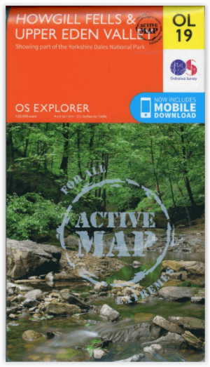
Wandelkaart OL19 Howgill Fells and Upper Eden Valley - OSI • 9780319475362
Wandelkaart Howgill Fells and Upper Eden Valley - OSI Productomschrijving: Kaart nummer OL19 in de OS Explorer serie omvat: Appleby-in-Westmorland, de Howgill Fells, Sedbergh, Upper Eden Valley en Kirkby Stephen. Hoogtepunten van het gebied zijn onder andere: Yorkshire Dales National park, North Pennines, Pennine Way, rivier Eden, Great Shunner Fell en Hardraw. National trails and …

Wandelkaart 90 Penrith & Keswick - Lake District NP - OSI • 9780319263372
Penrith & Keswick - Lake District NP - OSI Productomschrijving: Kaart nummer 90 in de OS Landranger kaartenserie is de perfecte kaart voor het plannen van vakanties en dagtochten naar het Penrith en Keswick gebied van het Lake District. Het gebied is ideaal voor vakantiegangers die willen deelnemen aan wandelingen, tochten of watersporten, want er zijn fantastische paden, activiteiten en l…


