
Wandelgids Cotswold Way - Trailblazer Publications
Chipping Campden to Bath - 164 km

Korte omschrijving
The Cotswold Way - Trailblazer Publications Productomschrijving: Chipping Campden tot Bath met 49 maps en 30 kleurfoto's. The Cotswolds Way loopt door het befaamd Cotswold AONB (Area of Outs...

Specificaties
- Uitgever: Trailblazer Publications
- ISBN-13: 9781912716418
- HOOFDCATEGORIEËN: Wandelgids
- Activiteiten: Wandelen, Hiking & Trekking
- Auteur: Bob Hayne, Tricia Hayne
- Regio: Gloucestershire, Egland
- Land: England
- Lange afstand wandelroutes: Cotswold Way, England (164km)
- AONB - Area of Outstanding Beauty: Cotswolds AONB
- Blz.: 204
- Afmeting: 12x18
- Editie: 5
- Taal: Engels
Volledige omschrijving
The Cotswold Way - Trailblazer Publications
Productomschrijving: Chipping Campden tot Bath met 49 maps en 30 kleurfoto's. The Cotswolds Way loopt door het befaamd Cotswold AONB (Area of Outstanding Natural Beauty, of regio van uitmunend natuurschoon. The Cotswold Way, is een zeer goed gekende route van een dikke 164 km lang en biedt alles voor de natuurliefhebber.
Engelse omschrijving: The Cotswold Way is a 102-mile (163km) National Trail that runs from Chipping Campden to Bath, following the beautiful Cotswold escarpment for much of its course. The trail leads through quintessentially English countryside with little villages of honey-coloured stone, from open farmland to the historic city of Bath. Includes accommodation, pubs and restaurants in detailed guides to 48 towns and villages along or near the route.
This new 5th edition has been completely rewalked and all the information checked and updated.
- Includes 44 detailed walking maps: The largest-scale maps available
- Unique mapping features, walking times, directions, tricky junctions, places to stay, places to eat, points of interest.
- Itineraries for all walkers, whether hiking the entire route or sampling highlights on day walks or short breaks.
- Practical information for all budgets – what to see; where to eat (cafés, pubs and restaurants); where to stay (B&Bs, hotels, hostels and campsites).
- All places that offer baths (as well as/instead of showers) are mentioned, as are those that accept dogs – both being important features for many walkers.
- Detailed public transport information for all access points for day walkers
- Full city guide to Bath
- Overview map and trail profiles
- Waypoints now include what3ways references.
Artikelen uit dezelfde regio

Fotoboek Cotswolds - The beauty of The Cotswolds AONB • 9781859652183
Fotoboek Cotswolds - The beauty of The Cotswolds AONB Productomschrijving: De eerste van een nieuwe serie van massamarkt souvenirboeken. Een Memento, een aandenken voor de duizenden toeristen die de Cotswolds, Cornwall, Lake District en Noord-Devon bezoeken. Dit fotoboek is een bewijs van William Fricker zijn lange geschiedenis met de Cotswoldheuvels. Deze beelden zijn vergaard geweest uit…
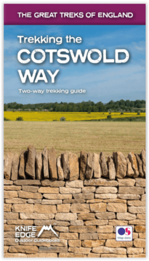
Wandelgids Cotswold - Way Two-way trekking guide - Knife Edge • 9781912933136
Cotswold - Way Two-way trekking guide - Knife Edge Productomschrijving: De Cotswold Way legt 102 mijl af door het sublieme landschap van de Cotswolds, een streek die het toonbeeld is van historisch Engeland. Onderweg gaat u over de top van de Cotswold Escarpment door een prachtig glooiend landschap en historische chocolade-doosdorpjes, gebouwd van prachtige honingkleurige stenen, die eeuwe…
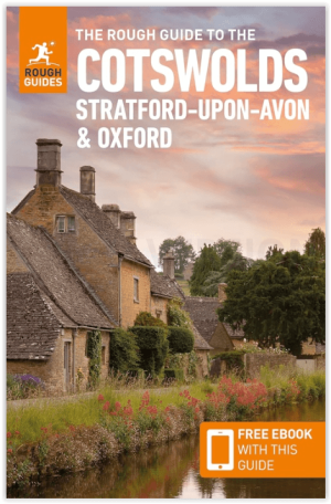
Reisgids Cotswolds AONB - Rough Guides • 9781839059728
The Cotswolds AONB - Rough Guides Productomschrijving: Deze omvat het Cotswolds gebied in zuid-oost Engeland. Een gebied van uitmuntend natuurschoon, of in andere meer lokalere woorden, een AONB area, of Area of Outstanding Natural Beauty. Bij ons is dat bijvoorbeeld de westhoek, het Zwin, enz... Deze reisgids biedt u deze regio inclusief de locaties van Stratford-Uppon-Avon & Oxford die a…
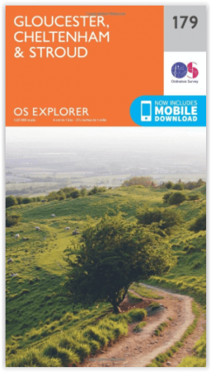
Wandelkaart 179 Gloucester Cheltenham & Stroud - OSI • 9780319243725
Wandelkaart Gloucester- Cheltenham & Stroud - Gloucestershire Productbeschrijving: Gloucester & Cheltenham 179 / Gloucester, Cheltenham & Stroud, Gloucestershire, England - Kaart nummer 179 in de OS Explorer reeks heeft betrekking op de omgeving van Gloucester, Cheltenham, Stroud. Hoogtepunten van het gebied zijn onder meer: The Cotswolds AONB gebied van uitzonderlijke natuurlijke scho…
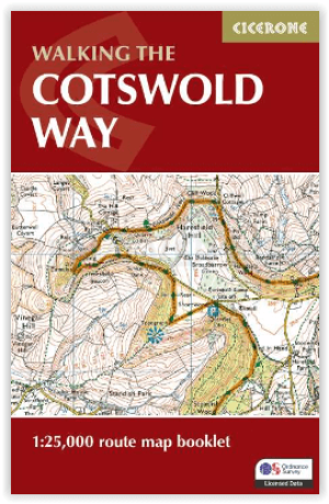
Wandelgids The Cotswold Way Map Booklet - Cicerone • 9781786312112
The Cotswold Way - Cicerone Productomschrijving: OPGELET: Dit artikel is reeds inbegrepen in de volledige wandelgids van de The Cotswold Way. Deze kunt u vinden met dit ISBN nr in te geven in onze zoekfunctie: 9781786312105 - Het boek gaat over de befaamde Cotswold Way, tussen Chipping Camden en Bath, dwars door het Cotswolds AONB regio van uitmuntend natuurschoon. 164 km lange route in 2…