
Reisgids Cotswolds AONB - Rough Guides
Stratford-Uppon-Avon- Oxford- Cheltenham- South Cotswolds
Korte omschrijving
The Cotswolds AONB - Rough Guides Productomschrijving: Deze omvat het Cotswolds gebied in zuid-oost Engeland. Een gebied van uitmuntend natuurschoon, of in andere meer lokalere woorden, een ...

Specificaties
- Uitgever: Rough Guides
- ISBN-13: 9781839059728
- HOOFDCATEGORIEËN: Reisgids
- Activiteiten: Toerisme
- Regio: Gloucestershire, Egland, Oxfordshire west England, Somerset South West England, Stratford-upon-Avon, South-East England, Warwickshire, West Midlands, Wiltshire, West England, Worcestershire, West England
- Land: England
- AONB - Area of Outstanding Beauty: Cotswolds AONB
- Blz.: 256, 264
- Afmeting: 13x20
- Editie: 5
- Taal: Engels
Volledige omschrijving
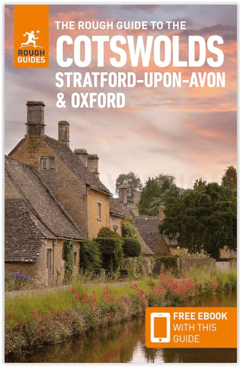
The Cotswolds AONB - Rough Guides
Productomschrijving: Deze omvat het Cotswolds gebied in zuid-oost Engeland. Een gebied van uitmuntend natuurschoon, of in andere meer lokalere woorden, een AONB area, of Area of Outstanding Natural Beauty. Bij ons is dat bijvoorbeeld de westhoek, het Zwin, enz... Deze reisgids biedt u deze regio inclusief de locaties van Stratford-Uppon-Avon & Oxford die aan de uiteinden liggen van dit schitterende mooi landschap.
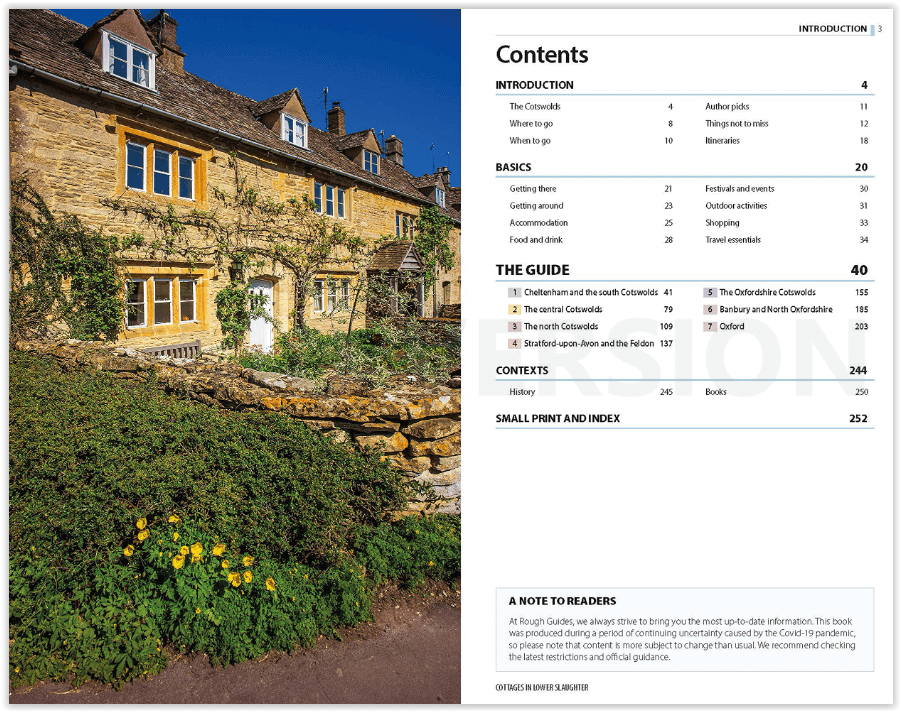
Omvat: Cheltenham, South Cotswolds, Central Cotswolds, Stratford-Upon-Avon, Oxfordshire Cotswolds, Banbury, North Oxfordshire, Oxford.
Engelse omschrijving: The Rough Guide to the Cotswolds is your definitive handbook to one of the most beautiful and diverse holiday destinations in the UK. From stately homes and wildlife parks to modern art galleries, country walks and adventure sports, there is a section that introduces all of the regions’ highlights.
For every town and village, there are comprehensive and opinionated reviews of all the best places to eat, drink and stay to suit every budget. It brings the Cotswolds bang up-to-date; out go musty tearooms and chintzy B&Bs and in come the best of the area’s new contemporary restaurants, boutique-styled hotels and top-rated country pubs. There’s plenty of practical advice and a special focus on the region’s gastronomy with features on specialist farmers’ markets, local farm shops, gastro-pubs and country restaurants. The guide also comes complete with easy-to-use maps for every area making sure you don’t miss the unmissable.
Artikelen uit dezelfde regio
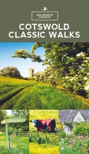
Wandelgids Cotswold classic walks guidebook - Goldeneye • 9781859652602
Wandelgids Cotswold classic walks guidebook Productomschrijving: In eerste instantie is dit wat de engelsen noemen een AONB, een "Area of Outstanding Natural Beauty" die in deze versie verspreidt word over verschillende regio's aangezien zijn grote. Deze plaats van subliem natuurschoon, ligt deel is, Somerset, deels in wawickshire, deels in Wiltshire, deels in Oxfordshire en is de meest be…

Fietskaart & Mtb kaart The Cotswolds - Goldeneye • 9781859652589
Fietskaart en Mtb kaart - The Cotswolds - Goldeneye Productomschrijving: De Cotswolds is een AONB streek, (Area of Outstanding Natural Beauty) in centraal Engeland. Het gebied omvat de graafschappen Somerset, Warwickshire, Wiltshire, Oxfordshire & Worcestershire, maar het grootste deel ligt in Gloucestershire. Er wordt sinds eeuwen kalksteen uit de steengroeven gewonnen in deze regio, en d…

Wandelgids Heart of the Cotswolds - Rucksack Readers • 9781898481768
Heart of the Cotswolds AONB - Rucksack Readers Productomschrijving: De Cotswolds zijn typisch Engels, met hun rijke culturele geschiedenis, middeleeuwse 'wollen' kerken en charmante huiselijke architectuur van steen, leisteen en riet. Het boek biedt drie mogelijkheden om in het hart van dit prachtige gebied te wandelen: een 151 km lange tocht die begint in Cheltenham en twee kortere routes…
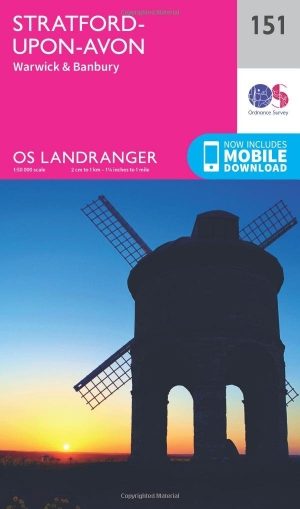
Wandelkaart 151 Stratford-upon-Avon- England - OSI • 9780319262498
Wandelkaart Stratford-upon-Avon - England Productbeschrijving: Als de geboorteplaats van William Shakespeare, is de schilderachtige stad van Stratford-upon-Avon doordrenkt van een rijke geschiedenis en cultuur, en ligt in het hart van het landschap van Warwickshire. OS Landranger kaart 151 toont dit gebied, en omvat een deel van het pad van de E2 Europese lange afstand die door de regio sn…

Wandelgids Cotswolds AONB 50 walks guide - AA Publishing • 9780749583224
Cotswolds AONB - 50 walks guide - AA Publishing Productomschrijving: Wandelen is een van de favoriete vrijetijdsbestedingen van Groot-Brittannië. AA 50 Walks in the Cotswolds bevat een verscheidenheid aan uitgestippelde wandelingen van 3 tot 12 km, geschikt voor alle niveaus. Het boek bevat alle praktische details die u nodig hebt, vergezeld van boeiende achtergrondinformatie over de gesch…