Wandelgids Best Day Walks California - Lonely Planet
Northern Coast & Redwoods- Marin County & the Bay Area
Korte omschrijving
Best Day Walks California - Lonely Planet Productomschrijving: Lonely Planet's Best Day Walks Californië is uw paspoort met 60 gemakkelijke wandel ontsnappingen in de natuur. Strek je benen ...

Specificaties
- Uitgever: Lonely Planet Publications
- ISBN-13: 9781838691172
- HOOFDCATEGORIEËN: Wandelgids
- Regio: Californië, USA
- Land: Verenigde Staten van Amerika (USA)
- Blz.: 224
- Afmeting: 13x20
- Editie: 1
- Taal: Engels
- Reeks: Best day walks Lonely Planet
Volledige omschrijving
Best Day Walks California - Lonely Planet
Productomschrijving: Lonely Planet's Best Day Walks Californië is uw paspoort met 60 gemakkelijke wandel ontsnappingen in de natuur. Strek je benen weg van de stad door een wandeling te kiezen die bij je past, van een paar uur tot een hele dag, van gemakkelijk tot zwaar. Verken Yosemite National Park, bewonder de sequoia's en wandel door Gold Country.
Engelse omschrijving: Lonely Planet's Best Day Walks California is your passport to 60 easy escapes into nature. Stretch your legs away from the city by picking a walk that works for you, from just a couple of hours to a full day, from easy to hard. Explore Yosemite National Park, marvel at redwoods, and hike through Gold Country.
Inside Lonely Planet's Best Day Walks California Travel Guide:
Colour maps and images throughout
Special features - on California's highlights for walkers, kid-friendly walks, accessible trails and what to take
Best for… section helps you plan your trip and select walks that appeal to your interests
Region profiles cover when to go, where to stay, what's on, cultural insights, and local food and drink recommendations to refuel and refresh.
Featured regions include:
Northern Coast & Redwoods, Marin County & the Bay Area, California's Central Coast, SoCal Coast, Southern Deserts, Kings Canyon, Sequoia & the Southern Sierras, Yosemite National Park, Lake Tahoe & Gold Country, Northern Mountains.
Essential info at your fingertips. Walk itineraries accompanied by illustrative maps are combined with details about walk duration, distance, terrain, start/end locations and difficulty (classified as easy, easy-moderate, moderate, moderate-hard, or hard)
Over 60 maps
The Perfect Choice: Lonely Planet's Best Day Walks California, our most comprehensive guide to walking in California, is perfect for those planning to explore California on foot. Looking for more information on California? Check out Lonely Planet's California guide for a comprehensive look at what the country has to offer.
Artikelen uit dezelfde regio

Wandelkaart 308 Yosemite NE- Tuolumne Meadows - Nat Geo • 9781566953696
Yosemite North East - Tuolumne Meadows - Nat Geo Productomschrijving: National Geographic's Trails Illustrated kaart van Yosemite NE: Tuolumne Meadows and Hoover Wilderness is ontworpen om te voldoen aan de behoeften van outdoor enthousiastelingen door het combineren van waardevolle informatie met ongeëvenaarde details van deze prachtige regio van het park. Deskundig onderzocht en gemaakt …

Wandelkaart 309 Yosemite SE - Ansel Adams Wilderness - Nat Geo • 9781566954136
Wandelkaart Ansel Adams Wilderness - Nat Geo Productomschrijving: National Geographic's Trails Illustrated kaart van Yosemite SE levert ongeëvenaarde details en waardevolle informatie om u te helpen bij uw verkenning van deze adembenemende wildernis. Deze kaart is gemaakt in samenwerking met lokale landbeheerders en biedt ongeëvenaarde details en nuttige informatie voor zowel ervaren outdo…

Reisgids Los Angeles & Southern California - Rough Guides • 9781848365834
Reisgids Los Angeles & Southern California - Rough Guides Productomschrijving: The Rough Guide to Los Angeles & Southern California is the definitive guide to the region. Whether you're looking for inspiring accommodation or great places to eat, you'll find the solution with hundreds of restaurant, hotel, nightlife and shop reviews. Along with a thorough look at LA's top tourist areas, fro…

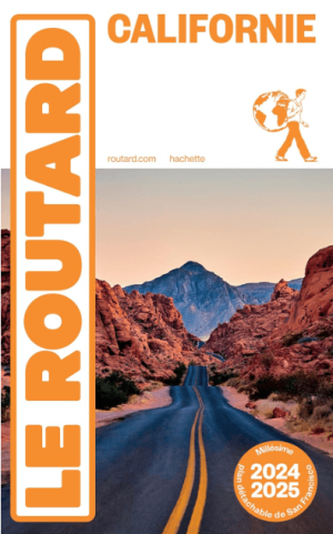
Reisgids Californie 2024-25 - Le Routard • 9782017888208
Reisgids Californie - Hahette Productomschrijving: De nieuwe update van Le Routard, Frankrijks nummer 1 reisgids! De legendarische westkust, bakermat van film, surfen en technologie. Tussen de Stille Oceaan, de bergen, de wijngaarden en de woestijn maak je een onvergetelijke roadtrip van San Francisco naar Los Angeles langs de grote nationale parken. Franse omschrijving: Nouvelle…

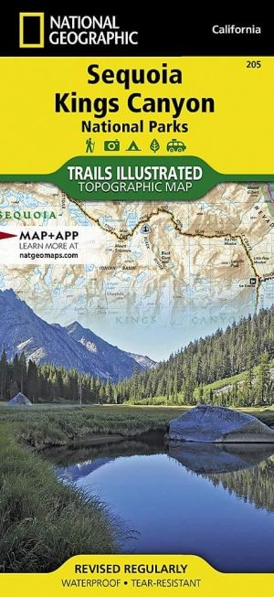
Wandelkaart 205 Sequoia & Kings Canyon NP - California • 9781566952989
TOPO Wandelkaart 205 - Sequoia & Kings Canyon NP Productomschrijving: Sequoia National Park is een nationaal park in het zuidelijke deel van de Sierra Nevada in Californië. Het park grenst aan de noordzijde aan Kings Canyon National Park, en wordt door de National Park Service als geheel beheerd. Engelse omschrijving: In Sequioa and Kings Canyon National Parks you can walk among the w…


