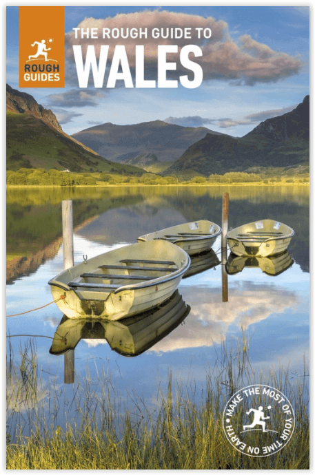
Reisgids Wales - Rough Guides
Discover the beautiful Welsh countryside
Korte omschrijving
Reisgids Wales - Rough Guides Productomschrijving: Discover this beautiful country with the most incisive and entertaining guidebook on the market. Whether you plan to hike through the wilds...

Specificaties
- Uitgever: Rough Guides
- ISBN-13: 9780241306376
- HOOFDCATEGORIEËN: Reisgids
- Activiteiten: Toerisme
- Regio: Wales
- Land: Wales
- Blz.: 480
- Afmeting: 13x20
- Editie: 9
- Taal: Engels
Volledige omschrijving
Reisgids Wales - Rough Guides
Productomschrijving: Discover this beautiful country with the most incisive and entertaining guidebook on the market. Whether you plan to hike through the wilds of Snowdonia, follow in Wordsworth’s footsteps at Tintern Abbey or explore Welsh music and theatre in Swansea, The Rough Guide to Wales will show you the ideal places to sleep, eat, drink and shop along the way.
Inside The Rough Guide to Wales:– Independent, trusted reviews written with Rough Guides’ trademark blend of humour, honesty and insight, to help you get the most out of your visit
– Full-colour maps throughout – navigate the arcades of central Cardiff or the peaks of Brecon Beacons National Park without needing to get online.
– Stunning, inspirational images
– Itineraries – carefully planned routes to help you organize your trip.
– Detailed regional coverage – whether off the beaten track or in more mainstream tourist destinations – Basics – essential pre-departure practical information including getting there, local transport, accommodation, food and drink, the media, health.
– Background information – a Contexts chapter devoted to Welsh history, politics, natural history, music, film and books, plus a handy language section.
Areas covered include: Cardiff, Swansea and the southeast; the southwest; the Brecon Beacons and Powys; the Cambrian coast; the Dee Valley; Snowdonia and the Llyn; the north coast and Anglesey. Attractions include: Cardiff Bay; St David’s Cathedral; Pembrokeshire National Park; Conwy Castle; Cadair Idris; Ffestiniog Railway; Hay Festival; the beaches of the Llyn and Gower peninsulas.
Locatie op kaart
Artikelen uit dezelfde regio

Reisgids L'essentiel de l'Angleterre et du Pays de Galle - LP • 9782816179422
L'essentiel de l'Angleterre et du Pays de Galle - LP Productomschrijving: De Lonely Planet-gids voor de basis, om het beste van Engeland en Wales te ontdekken - Een volledig opnieuw ontworpen versie, zodat je tijdens uw reis naar Engeland en Wales geen enkele must-haves hoeft te missen. Een kleurrijke gids, geïllustreerd met tientallen foto's. Onmisbare locaties (Londen, Stonehenge, Salisb…

Klimgids Welsh Winter Climbs - Cicerone • 9781852840013
Klimgids - Welsh Winter Climbs - Cicerone Productomschrijving: Klimgids, winter beklimmingen in Wales. Alle klassieke winterroutes, plus vele korte rotsbeklimmingen. Bedekt Carneddau, Glyderau, Llanberis, Yr Wyddfa, Nantlle, Lleyn Schiereiland, Moelwynion, Rhinog, Cader Idris, Aran, Dyfi en Berwyn. Het biedt een volledige beschrijving, over het al dan niet beschikbaar zijn van routes, en t…

Wales Hillwalking vol.2 Ffestiniog - Tarrens - Cicerone • 9781852844684
Wales Hillwalking vol.2 Ffestiniog - Tarrens - Cicerone Productomschrijving: De tweede van twee gidsen die wandelen beschrijft in Wales - bespreekt de Ffestiniog heuvels naar de Tarrens. De routes zijn alfabetisch gerangschikt over de twee volumes. Het tweede boek in een tweedelige serie die alle 166 van de wandeltrajecten beschrijft in Wales. Detail: Het resultaat is niet alleen een g…

Wandelgids Wales coastal path - Cicerone • 9781786310668
Wales coast path - Cicerone Productomschrijving: Eén enkele gids over de complete route rond de kustlijn van Wales - 1400 km over de lengte van Wales van Chester tot Chepstow, Anglesey inbegrepen, beschreven in 57 etappes. De route loopt door de Nationale Parken Snowdonia en Pembrokeshire en vele AONB's en kan gekoppeld worden aan het Offa's Dyke Pad voor een compleet rondje Wales. …

Fietskaart Pembrokeshire National Park - Goldeneye • 9781859651223
Fietskaart Pembrokeshire NP - West Wales - Goldeneye Productomschrijving: Pembrokeshire (Wels: Sir Benfro) is een bestuurlijk graafschap in het zuidwesten van Wales, gelegen in het ceremoniële behouden graafschap Dyfed. Een supergeschikte regio voor de fietser in het algemeen, rustig gelegen in de hoek van Wales. Het grenst in het oosten aan Carmarthenshire en in het noordoosten aan Ceredi…


