
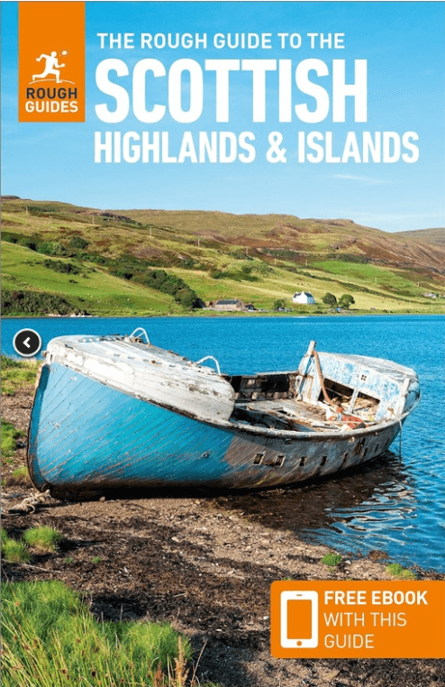
Reisgids Scottish Highlands & Islands - Rough Guides
North Coast 500 route - Munro's - Cuillin ridge Isle of Skye
Korte omschrijving
Scottish Highlands & Islands - Rough Guides Productomschrijving: Deze volledig bijgewerkte The Rough Guide to Scottish Highlands and Islands is de ultieme gids voor de fascinerende uithoeken...

Specificaties
- Uitgever: Rough Guides
- ISBN-13: 9781839058639
- Regio: Highlands Noord, Schotland, Highlands, Schotland, Orkney Islands, Schotland, Schetland Islands, Schotland
- Land: Schotland
- Toepasselijke bergketen: Schotse Highlands, Schotland
- Blz.: 440
- Afmeting: 13x20
- Editie: 10
- Taal: Engels
Volledige omschrijving
Scottish Highlands & Islands - Rough Guides
Productomschrijving: Deze volledig bijgewerkte The Rough Guide to Scottish Highlands and Islands is de ultieme gids voor de fascinerende uithoeken van Schotland. Van de goddelijke visgerechten bij Loch Fyne tot de whiskystokerijen op Islay, dit is een plek om je te laten verwennen. Het is ook een hotspot voor buitenactiviteiten, of je nu besluit een Munro of twee te pakken, op een mountainbike stapt of langs verlaten (hoewel winderige) gouden stranden wandelt.
Engelse omschrijving: This fully updated The Rough Guide to Scottish Highlands and Islands is the ultimate guidebook to the captivating remote reaches of Scotland. From the divine seafood offerings at Loch Fyne to the whisky distilleries on Islay, this is a place for indulging. It’s also a hotspot for outdoor activities, whether you decide to bag a Munro or two, hop onto a mountain bike or stroll along deserted (if blustery) golden beaches.
The Rough Guide to Scottish Highlands and Islands contains more information than ever on where to go and what to see in this part of Scotland, with practical information on everything from events listings to transport logistics. There’s also coverage of the brand new North Coast 500 route, which loops around the northernmost reaches of the country.
From Skye’s breathtaking Cuillin ridge to abandoned castles, via riproaring unplanned ceilidhs, this stark and weather beaten part of the planet will not disappoint.
Artikelen uit dezelfde regio

Wandelgids The West Highland Way - Rucksack Readers • 9781913817213
The West Highland Way - Rucksack Readers Productomschrijving: Een unieke intussen zeer gekende wandelroute, die loopt van Milngavie nabij Glasgow tot Fort William door de Schotse Hooglanden. De Route is 152 km Lang en brengt u door de westelijke Highlands van Schotland starten vanuit Glasgow. Engelse omschrijving: The West Highland Way is the first, and remains the most famous, of Scot…

Wandelgids Schottland - West Highland Way - Rother • 9783763347261
The West Highland Way 153 km - Rother Productomschrijving: Op de West Highland Way leer je de mooiste kanten van Schotland te voet kennen: Vanaf de bewoonde uitlopers van Glasgow in de Lowlands leidt dit 150 kilometer lange pad naar het hart van de Highlands bij Fort William. Het Schotse landschap ziet er hier uit als iets uit een prentenboek: het pad voert door ongerepte heidevelden, over…

Wandelkaart 447 Ben hope- Ben Loya & Kyle of Tongue • 9780319246900
Wandelkaart Ben hope- Ben Loyal- Kyle of Tongue - Highlands Productbeschrijving: 447 / Ben hope, Ben Loyal, Kyle of Tongue, Highlands, Schotland - Kaart nummer 447 omvat Ben Hope en Ben Loyal Kyle van tong. Hoogtepunten zijn Beinn Bheag, Loch Meadie en Loch een Dithreibh. Omvat ook Naver Loch, Loch Hope en Beinn Direach. De OS Explorer kaart voor Ben hoop, Ben loyaal & Kyle van tong …

Wandelkaart 436 Beinn Dearg & Loch Fannich- Schotland- OSI • 9780319472880
Wandelkaart Beinn Dearg & Loch Fannich - Schotland Omvat ook: Ullapool. Productbeschrijving: Een van de meest on-bevolkte gebieden op het Britse vasteland. U vindt 14 Monros op deze OS Explorer kaart 436. Waar de pieken samen een cluster vormen, zijn er routes die u toelaten om verschillende toppen in één enkele wandeling te bereiken. De OS Explorer kaart voor Beinn Dearg & Loch Fannic…

Wandelkaart 451 Thurso & John o' Groats - Schotland - OSI • 9780319246948
Wandelkaart Thurso & John o' Groats - Northern Highland's Omvat ook: Dunnet Head Productbeschrijving: OS Explorer kaart 451 toont het uiterste noord-oosten van Schotland. John o'Groats is technisch gezien niet het meest noordelijke dorp, maar dat houd het niet tegen om een belangrijke toeristische attractie te zijn. Thurso is een gemoedelijk dorp en een uitstekende uitvalsbasis in …