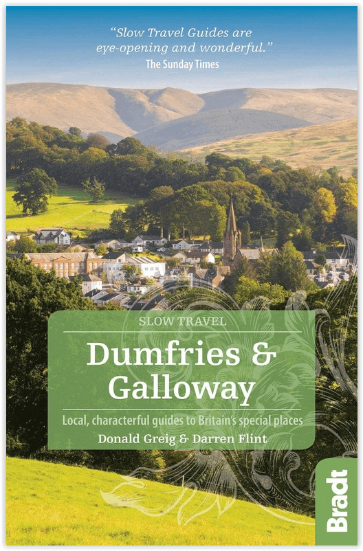
Reisgids Go Slow - Dumfries & Galloway - Bradt guides
Ontdek Dumfries & Galloway op uw eigen manier
Korte omschrijving
Reisgids Dumfries & Galloway Schotland - Bradt Productomschrijving: Dumfries en Galloway is een gebied met landelijke charme en opvallende landschappen, waar een langzamer tempo van leven en...

Specificaties
- Uitgever: Bradt guides
- ISBN-13: 9781784776107
- HOOFDCATEGORIEËN: Reisgids
- Activiteiten: Toerisme
- Auteur: Darren Flint, Donald Greig
- Regio: Dumfries & Galloway, Schotland
- Land: Schotland
- Blz.: 256
- Afmeting: 14x22
- Editie: 2
- Taal: Engels
- Reeks: Go slow, Bradt guides
Volledige omschrijving
Reisgids Dumfries & Galloway Schotland - Bradt
Productomschrijving: Dumfries en Galloway is een gebied met landelijke charme en opvallende landschappen, waar een langzamer tempo van leven en reizen vanzelfsprekend is. Bradts 'Slow Travel' Dumfries and Galloway is de eerste uitgebreide reisgids voor dit gebied en behandelt de regio in detail, van Eskdale tot Schotlands zuidpunt bij de Mull of Galloway, via Annandale, Nithsdale, Dumfries, The Stewartry, The Machars and Moors, en de Rhins.
Levendige beschrijvingen, historische anekdotes en enthousiaste schrijfsels worden gecombineerd met zorgvuldig uitgezochte aanbevelingen voor accommodatie om een van de best bewaarde geheimen van Schotland te onthullen. Nu het plaatselijke toeristenbureau halverwege een ambitieus zesjarenplan is, is de bekendheid van het gebied in volle gang. Ga nu, voordat het geheim bekend wordt.
Engelse omschrijving: Dumfries and Galloway is an area of rural charm and striking landscapes, where a slower pace of living and travelling comes naturally. The first comprehensive guidebook to the area, Bradt's 'Slow Travel' Dumfries and Galloway covers the region in depth, from Eskdale to Scotland's southern tip at the Mull of Galloway, via Annandale, Nithsdale, Dumfries, The Stewartry, The Machars and Moors, and the Rhins.
Lively descriptions, historical anecdotes and enthusiastic writing combine with hand-picked accommodation recommendations to reveal one of Scotland's best kept secrets. With the local tourist board halfway through an ambitious six-year plan, the area's profile is on the up. Go now, before the secret is out.
Locatie op kaart
Artikelen uit dezelfde regio

Wandelkaart 83 Newton Stewart & Kirkcudbright- Schotland - OSI • 9780319261811
Wandelkaart Newton Stewart & Kirkcudbright - Schotland Productbeschrijving: Newton Stewart zit in het geografische centrum van de glooiende heuvels van Galloway en Forest Park, en is aangegeven op kaart OS Landranger 83. Gelegen aan de monding van de rivier de Dee ligt de oude visserij stad van Kirkcudbright. Deze kaart bevat ook Loch Ken, Whithorn, kleine, Carsluith, poortgebouw van vloot…

Wandelkaart 82 Stranraer & Glenluce Schotland - OSI • 9780319261804
Wandelkaart Stranraer & Glenluce - Schotland Productbeschrijving: OS Landranger kaart 82 van Stranraer & Glenluce bevat ook nieuwe Luce, Kirkcowan, Dunragit, Stoneykirk, Ardwell, Port Lagan, Drummore, Port Patrick, onderdeel van de E2 Europese Long Distance pad en deel van de Southern Upland Way. Stranraer is de haven van de veerboot naar Belfast in Noord-Ierland, maar u kunt er ook het ka…

Wandelkaart 322 Annandale- Dumfries & Galoway - OSI • 9780319245743
Wandelkaart Annandale - Dumfries & Galoway Schotland Productbeschrijving: Annan, Lockerbie & Beattock 322 - Annandale, Dumfries & Galoway, West Schotland - Ordnance Survey OS Explorer kaart 322 dekt Annan aan noord Solway Firth tot Beattock, die betrekking hebben op de way van Annandale en deel van de Southern Upland Way. Vermijd de A74(m) en gebruik de wegen en wandelpaden om de geb…

Wandelkaart 310 Glenluce & Kirkcowan Schotland - OSI • 9780319245620
Wandelkaart Glenluce & Kirkcowan - Dumfries & Galoway 310 / Glenluce & Kirkcowan, Dumfries & Galoway - In het zuidwesten van Schotland, toont deze OS Explorer kaart 310 Glenluce en Kirkcowan, Luce Bay en de Southern Upland Way. De OS Explorer kaart voor Glenluce & Kirkcowan is beschikbaar in zowel de standaard papieren versie als weerbestendige 'Actief' versie. 310 / Glenluce & Kirkcow…

Wandelkaart 78 Nithsdale & Annandale- Schotland - OSI • 9780319261767
Wandelkaart Nithsdale & Annandale - Schotland Productbeschrijving: OS Landranger kaart 78 toont Nithsdale en Annandale, de steden Sanquhar, Moffat, Lockerbie, Lochmaben, de Lowther Hills en het bos van Ae (gesproken als 'hooi' zonder de 'h'). Het gebied staat bekend voor zijn goeie berg- en fietspaden, terwijl u een bezoek brengt aan de Sanquhar Tolbooth Museum of Crawick Multiverse gebeel…


