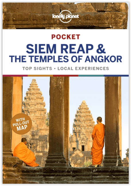
Reisgids Angkor Wat & Siem Reap pocket guide - Lonely Planet
het spectaculaire Angkor Wat werd Unesco geklasseerd
Korte omschrijving
Angkor Wat & Siem Reap pocket guide - Lonely Planet Omvat: The Temples of Angkor, Roluos Temples, Pub St, Wat Bo Rd Area, North Siem Reap, South Siem Reap & Tonle Sap Productomschrijving...

Specificaties
- Uitgever: Lonely Planet Publications
- ISBN-13: 9781787012646
- HOOFDCATEGORIEËN: Reisgids
- Activiteiten: Toerisme
- Regio: Siem Reap, Cambodja
- Land: Cambodja
- UNESCO werelderfgoed: Angkor Wat & Siem Reap, Cambodja
- Blz.: 160
- Editie: 3
- Taal: Engels
Volledige omschrijving
Angkor Wat & Siem Reap pocket guide - Lonely Planet
Omvat: The Temples of Angkor, Roluos Temples, Pub St, Wat Bo Rd Area, North Siem Reap, South Siem Reap & Tonle Sap
Productomschrijving: Lonely Planet's Pocket Siem Reap en de tempels van Angkor zijn uw paspoort voor het meest relevante, actuele advies over wat u kunt zien en overslaan, en welke verborgen ontdekkingen u te wachten staan. Wees getuige van de zonsopgang boven het spectaculaire Angkor Wat, ervaar de laatste grote hoofdstad van het Khmer-rijk, Angkor Thom, en verken de drijvende wereld van Tonle Sap Lake, allemaal met uw vertrouwde reisgenoot. Ga naar het hart van Siem Reap en de tempels van Angkor en begin nu aan je reis!
Engelse omschrijving: Lonely Planet’s Pocket Siem Reap and the Temples of Angkor is your passport to the most relevant, up-to-date advice on what to see and skip, and what hidden discoveries await you. Witness sunrise over spectacular Angkor Wat, experience the last great capital of the Khmer empire, Angkor Thom, and explore the floating world of Tonle Sap Lake, all with your trusted travel companion. Get to the heart of Siem Reap and the Temples of Angkor and begin your journey now!
Coverage Includes: The Temples of Angkor, Roluos Temples, Pub St, Wat Bo Rd Area, North Siem Reap, South Siem Reap & Tonle Sap, and more
Locatie op kaart
Overzichtskaarten

Artikelen met UNESCO Werelderfgoed locaties
Artikelen met UNESCO Werelderfgoed locaties

Producten op de overzichtskaart
Klik op een product om naar de detailpagina te gaan.
- Wandelkaart 10047 - Aurland- Sogn og Fjordane - Nordeca AS
- Fietsgids - A vélo en Ardèche méridionale - 46 balades - Glénat
- Wandelgids Rheinsteig - Rheinburgenweg & höhenwegen - Rother
- Wandelgids Pfälzer Weitwanderwege & Weinsteig - Rother
- Wandelkaart XT25 - Yorkshire Dales Zuid-Oost - Harvey maps
- Wandelkaart XT40 - N.O. Yorkshire Dales NP - Harvey ultramaps
- Wandelkaart XT40 - N.W. Yorkshire Dales NP - Harvey Ultramaps
- Wandelkaart XT40 - Z.O. Yorkshire Dales England - Harvey Maps
- Wandelkaart XT40 - Z.W. Yorkshire Dales - Harvey Ultramaps
- Wandelkaart 3713 ET - Pays de Bitche & PNR des Vosges du Nord
- Fietsgids - Canal du Midi cycling - Cicerone
- Wandelgids - The Pennine Way Map Booklet - Cicerone
- Fietsgids Bedevaart Ruta Via de la Plata cycle route - Cicerone
- Wandelgids - Italy's Cinque Terre walking - Cicerone
- Guide de voyage - Angkor en quelques jours - Lonely Planet
- Guide de voyage - Angkor en quelques jours - Lonely Planet
- Wandelkaart 229 - Salzkammergut - Kompass
- Wandelkaart 204 Truro & Falmouth- Cornwall England - OSI
- Wandelkaart 005 - Mont Perdu & Gavarnie - Sua Editions
- Wandelkaart 0/16 - Mount Kenya Nationalpark - Alpenverrein
- Travelguide - Angkor Wat & Siem Reap pocket guide - Lonely Planet
- Wandelgids Tour of the Jungfrau - Cicerone
- Wandelkaart Geopark Harz - Braunschweiger Land - Huber
- Wandelkaart XT25 - Yorkshire Dales NP Noord-Oost - Harvey maps
- Wandelkaart - South West Coast Path 5 - Harvey maps
- Wandelgids - Wanderführer Dolomiten 1 - Hikeline
- Wandelgids - Wanderführer Dolomiten 2 - Hikeline
- Wandelgids - Ostfriesland Duitsland - Rother
- Wandelgids - Pfälzerwald & Deutsche Weinstrasse - Rother
- Wandelgids Drakensberg - 75 day walks - Cicerone
- Fietskaart & wandelkaart 368 - Rhein Radweg 3 - Publipress
- Wandelgids & klimgids - Berner Alpen 4- Jungfrau Region - SAC
- Wandelgids - Hadrian's Wall Path - Rucksack readres
- Wandelkaart - Hadrian's Wall Path - Harvey maps
- Wandelkaart - South West Coast Path 1 - Harvey maps
- Wandelkaart - South West Coast Path 3 - Harvey maps
- Wandelkaart - South West Coast Path 4 - Harvey maps
- Wandelkaart - South West Coast Path 6 - Harvey maps
- Wandelkaart XT25 - Yorkshire Dales Zuid-West - Harvey Maps
- Wandelkaart 194 - Dorchester & Weymouth- Dorset - OSI
- Wandelkaart 179 - Canterbury- East Kent - England - OSI
- Wandelkaart 195 - Bournemouth & Purbeck- SW England - OSI
- Wandelkaart 193 - Taunton & Lyme Regis- Somerset - OSI
- Wandelkaart 2241 SB - Albi & Cordes-sur-Ciel - IGN
- Wandelkaart 179 - Canterbury & East Kent - England - OSI
- Wandelkaart 247t - Sardona Graubünden - Swisstopo
- Fietsgids Bikeline - Neusiedler See - Radweg - Estenbauer
- Wandelkaart 2136 ET - Rocamadour & Padirac - IGN
- Wandelgids - Massif Central (week-end) à pied - Ed. Chamina
- Wandelkaart 2137 SB - Gramat & Rocamadour - IGN
- Compostelle en France nouveaux chemins- Ed.Ouest France
- Wandelkaart 2138 OT - Cahors & St-Cirq-Lapopie - IGN
Artikelen uit dezelfde regio

Reisgids Angkor en quelques jours - Lonely Planet • 9782816171365
Angkor en quelques jours - Lonely Planet Franstalige gids! Productomschrijving: Zonsopgang boven Angkor Wat, de pracht van Bayon, de mysterieuze ruïnes - Van Ta Prohm, de kalme wateren van Sra Srang… alle schatten dat in Angkor werd gevormd door de Khmer-koningen tussen de 9e en 14e eeuw. - Sleutels om de betekenis te begrijpen van de talloze religieuze gebouwen die zijn gebouwd …


