
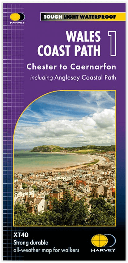
Wandelkaart Wales Coast Path DEEL 1 - Chester to Caernarfon
WCP Wales Coast Path - Gwynedd regio Noord Wales
Korte omschrijving
Wales Coast Path DEEL 1 - Chester to Caernarfon - Harvey Maps Productomschrijving: Het Wales Coast Path is een 1400 km langeafstandspad dat de gehele kustlijn van Wales volgt of er dicht lan...

Specificaties
- Uitgever: HARVEY MAPS
- ISBN-13: 9781851376605
- Activiteiten: Wandelen, Hiking & Trekking
- Regio: Gwynedd, Wales
- Land: Wales
- Schaal: 1:40000
- Afmeting: 14x25
- Taal: Engels
Volledige omschrijving
Wales Coast Path DEEL 1 - Chester to Caernarfon - Harvey Maps
Productomschrijving: Het Wales Coast Path is een 1400 km langeafstandspad dat de gehele kustlijn van Wales volgt of er dicht langs loopt. Het is een ongelooflijk gevarieerde route met ruige en ongerepte wandelingen, kleurrijke kustdorpen, industriële archeologie, kliftoppen, stranden en unieke erfgoedlocaties.
- 4 HARVEY kaarten bestrijken de gehele route. Elke kaart beslaat een deel van het pad dat geschikt is voor ongeveer 2 weken wandelen.
- Kaart 1 beslaat: het pad van de start in Chester tot Caernarfon, en omvat het gehele Anglesey kustpad.
Vanaf Chester, net over de grens in Engeland, loopt u een klein stukje naar de grens en het officiële begin van het Wales Coastal Path. In westelijke richting door Noord-Wales komt u door bruisende badplaatsen en zandstranden, voordat u de Menai Strait en het eiland Anglesey bereikt.
Engelse omschrijving: The Wales Coast Path is a 1400km (870 miles) long distance trail that follows, or runs close to, the entire coastline of Wales. It is an incredibly varied trail that offers rugged and unspoilt walking, colourful seaside villages, industrial archaeology, clifftops, beaches and unique heritage sites.
- 4 HARVEY maps cover the whole of the route. Each map covers a section of the Path suitable for about 2 weeks of walking.
- Map 1 covers: the Path from the start in Chester to Caernarfon, and includes the whole of the Anglesey Coastal Path.
From Chester, just across the border in England, you will walk a short distance to the border and the official start of the Wales Coast Path. Heading west across North Wales, you will pass through bustling seaside towns and sandy beaches, before reaching the Menai Strait and the island of Anglesey
- The entire route on 4 maps - this is map 1
- Map 1 shows Chester to Caernarfon, 355km (221miles) in length, including the Anglesey Coastal Path
- A good two weeks’ walking on one map
- Information on accomodation and services
-Lightweight, detailed, clear and easy to read
- Printed on tough 100% waterproof, tearproof paper
- GPS compatible
Maps 2 and 3 OUT NOW. Maps 1 and 4 coming MAY 2023.
Experience the satisfaction of fine navigation with the Trail Map XT40, printed on 100% waterproof and almost indestructible paper, whatever the weather!

Artikelen uit dezelfde regio

Wandelkaart 124 Porthmadog & Dolgellau N. Wales - OSI • 9780319474471
Wandelkaart Porthmadog & Dolgellau - Gwynedd North Wales Productbeschrijving: OS Landranger kaart 124 dekt Cardigan Bay en het omliggende gebied, Porthmadog, heet vaak de poort naar Snowdonia National Park, met prachtige stranden en de Snowdonian bergen als achtergrond, het is een fantastische vakantiebestemming. Het zuiden ligt het charmante stad van Dolegllau aan de voet van de bergketen…

Wandelkaart Snowdonia Noord XT40 ultra - Harvey Maps • 9781851376841
Wandelkaart Snowdonia NP Noord - Harvey Maps Productomschrijving: Omvat een groot gebied maar is praktisch en compact, zakformaat. Gedetailleerde kaart voor lopers en wandelaars van het noordelijke deel van het Snowdonia National Park. Omvat: Snowdon, de Glyders, de Carnedds, Moel Siabod en Bettws y Coed. Alle bergen 3000-voet van Welsh op één zijde. Welsh-Engelse tekst. Heef…

Wandelkaart XT25 Snowdonia Central - Harvey Maps • 9781851376803
Wandelkaart Snowdonia Central - Harvey Maps Productomschrijving: Snowdonia Central, Porthmadog & Rhinog Fawr - Gedetailleerde kaart voor bergwandelaars in Eryri (Snowdonia) National Park.Snowdonia Central omvat Rhinog Fawr, Rhinog Fach & Moelwyn Mawr Welsh-Engelse tekst. - De kaart is sterk, licht, duurzaam en 100% waterbestendig - Opent direct aan beide zijden van het blad - I…

Wandelkaart 125 Bala & Lake Vyrnwy N. Wales - OSI • 9780319474488
Wandelkaart Bala & Lake Vyrnwy- Berwyn - Gwynedd N. Wales Productbeschrijving: Bala ligt in de prachtige valleien van de berg van het Snowdonia National Park, in een schilderachtige dorpje gedekt door OS Landranger kaart 125. Het biedt een scala aan activiteiten waaronder watersporten op de natuurlijke Bala Lake. Lake Vyrnwy is gelegen net buiten het Nationaal Park midden in de externe Ber…

Via-Ferrata gids 80 Snowdonia scrambles Wales - Cicerone • 9781786311368
Snowdonia scrambles Wales - Cicerone Productomschrijving: Gids voor 80 gegradeerde klimroutes in Snowdonia, Noord-Wales. Deze herziene editie van Steve Ashton's klassieke gids is geïllustreerd met foto topos, en bevat 16 routes geselecteerd door de updaters, evenals alle klassieke routes waaronder de Snowdon Horseshoe, North Ridge of Tryfan, Bristly Ridge en de Cneifion en Cyfrwy Arêtes. …