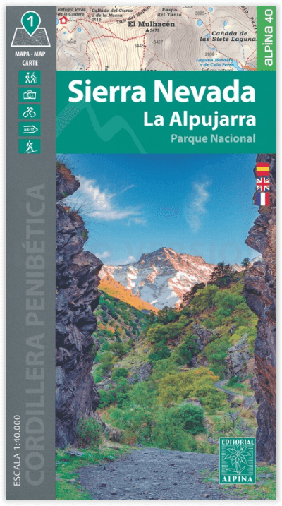
Wandelkaart Sierra Nevada & La Alpujarra PN - Ed. Alpina
Cordillera Penibetica - La Alpujarra
Korte omschrijving
Sierra Nevada & La Alpujarra PN - Ed. Alpina Productomschrijving: Deze gloed nieuwe ENGELSE versie van de wandelkaart van de Andalusische nationaal park van de Sierre Nevada is een topografi...

Specificaties
- Uitgever: Editorial Alpina S.L.
- ISBN-13: 9788480909976
- HOOFDCATEGORIEËN: Wandelkaart
- Activiteiten: Wandelen, Hiking & Trekking
- Regio: Andalusië, Spanje
- Land: Spanje
- Nationale parken: La Alpujarra NP, Andalusië Spanje
- Schaal: 1:40000
- Afmeting: 12x21
- Taal: Engels
Volledige omschrijving
Sierra Nevada & La Alpujarra PN - Ed. Alpina
Productomschrijving: Deze gloed nieuwe ENGELSE versie van de wandelkaart van de Andalusische nationaal park van de Sierre Nevada is een topografische kaart op schaal 1:40.000. De kaart omvat het nationaal park La Alpujarra NP.
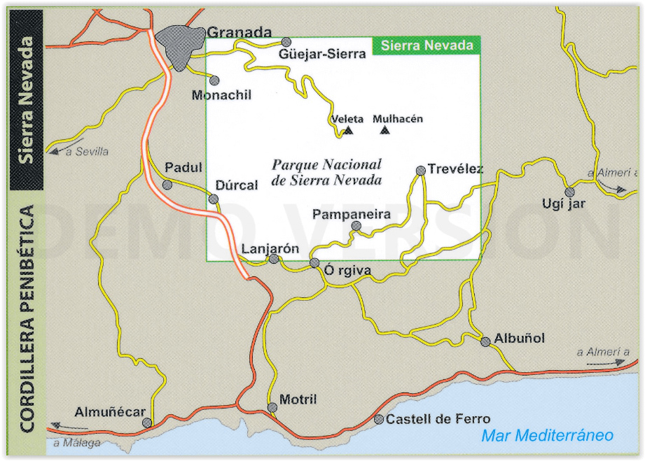
Omvat: Granada, Lanjarrón, Nigüelas, Dúrcal, Restábal, Béznar, Trevélez, Bérchules, Bubíon, Capileira, Almegijar, Cástaras, Pinos del Valle, Dílar, Gójar, Monachil, Órgiva, Güejar-Sierra, Pradollano, Veleta, Mulhacén, La Alcazaba.
Engelse omschrijving: New Map of Sierra Nevada at 1:40,000 scale, the most important chain of mountains in the southern Iberian peninsula. It has the highest peaks, as in the case of Mulhacen at 3,479 m, and the peak Veleta which is the third highest at 3396 meters.
The map also includes a significant portion of the region of La Alpujarra. Overall, this area offers immense opportunities for hiking, mountaineering and mountain biking.A topographic tourist map with details of tourist attractions, hiking & sporting activities as well as transport information. An excellent folded map & booklet for the Sierra Nevada. GPS Compatible. • Scale: 1:40.000 • Heights of the most interesting spots of the area • Shady relief • UTM grid with divisions of 1 km • Compatible with GPS • Marked routes • Guidebook with hikes, potholing, gully descent, climbing, mountain biking and facts of interest
Book Language: Spanish, English, French
• Hiking map and guidebook
• Scale 1:40.000
• Equidistance contours: 20 m distance
• Master contours: at 100 m
• Shady relief
• Compatible with GPS
• Marked routes
• Land use symbolized at three levels
• Guidebook with hikes, potholing, gully descent, climbing, mountain biking and all the facts of interest
Artikelen uit dezelfde regio
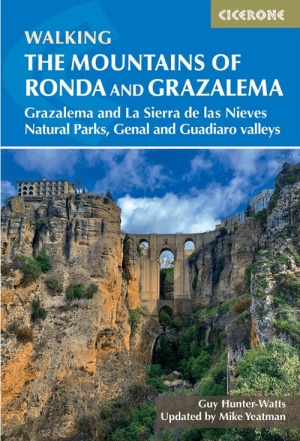
Wandelgids Mountains of Ronda & Grazalema Spain - Cicerone • 9781786312433
Mountains of Ronda & Grazalema - Cicerone Productomschrijving: Guidebook to walking in the mountains of Ronda and Grazalema in Andalucía, southern Spain. The 32 graded routes range from 4 to 16km and explore the Natural Parks of Grazalema and La Sierra de las Nieves, the 'Pueblos Blancos' (White Villages) perched high in the mountains, and the Genal and Guadiaro river valleys. Seasons:…

Wandelgids Walking & Trekking in de Sierra Nevada - Cicerone • 9781852849177
Walking & Trekking in de Sierra Nevada Productomschrijving: Deze gloednieuwe gids omvat meerdaagse trekt in het nationale park van de Sierra Nevada, De gids omvat 38 wandelroutes in- en door de hoogste punten van het park, Mulhacén inclusife bepaalde dorpen als Trevélez, Lanjarón en Capileira. Engelse omschrijving: Guidebook to walks and multi-day treks in the Sierra Nevada mountain ra…
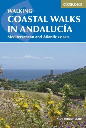
Wandelgids Andalucia coastal walks - Cicerone • 9781852848033
Wandelgids - Andalucia coastal walks - Cicerone Productomschrijving: Een gids met 40 halve & volle dagwandelingen in Andalusië. De gegradueerde routes, die geschikt zijn voor een redelijk fitte wandelaar, variëren van 6km tot 19.5km en worden gedurende het hele jaar door afgelopen. De wandelingen liggen in zeven van de mooiste nationale parken en beschermde gebieden (met inbegrip van La Br…

Reisgids Grenade Granada Andalusië - Gallimard • 9782742465965
Reisgids Granada Andalusië - Gallimard Productomschrijving: Van het Albaicín tot het Parque de las Ciencias, van het Alhambra tot het Monasterio della Cartuja, van de Cuevas del Sacromonte tot het Capilla Real, Granada kan in een oogwenk worden verkend met een gids zoals geen ander. Een uniek concept: uitklapbare kaarten op groot formaat voor elke wijk. De must-sees, bezoeken, uitstapjes e…

Reisgids Handboek Andalucia - Andalusië Spanje - Footprint • 9781910120262
Reisgids Handboek Andalucia - Andalusië Spanje - Footprint Productomschrijving: Andalusië is de thuisbasis van een overvloed aan historische schatten en rijke cultuurlagen die schitteren met kleur. Het 8e editie Andalucía Handbook van Footprint leidt je van de nobele kerken en smakelijke tapas van Sevilla naar weelderige groene heuvels bekroond met ansichtkaarten & mooie witte dorpen. Deze…


