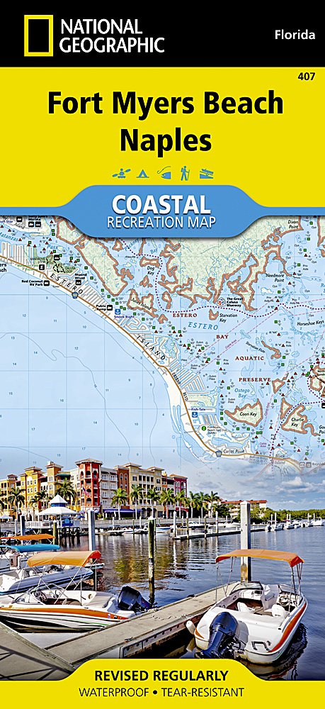
Wandelkaart 407 Fort Myers Beach - Florida - Nat Geo
Een soort reisgidsen kaart met alle mogelijke praktische info
Korte omschrijving
Recreational Map - Fort Myers Beach- Naples - Florida - Nat Geo Productomschrijving: Deze is geen echte wandelkaart, maar eerder een soort reisgidsen kaart met alle mogelijke aanduidingen en...

Specificaties
- Uitgever: National Geographic
- ISBN-13: 9781566956765
- HOOFDCATEGORIEËN: Wandelkaart
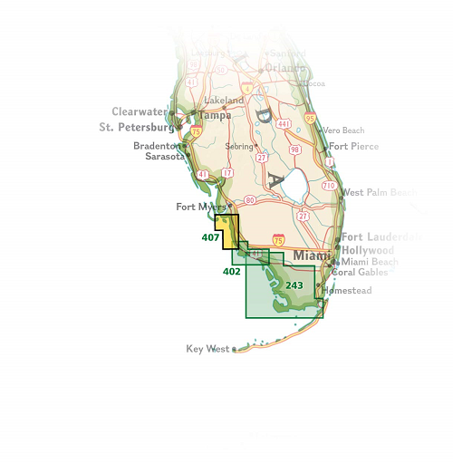
- Regio: Naples, Florida USA
- Land: Verenigde Staten van Amerika (USA)
- Schaal: 1:40000
- Afmeting: 10x19
- Taal: Engels
Volledige omschrijving
Recreational Map - Fort Myers Beach- Naples - Florida - Nat Geo
Productomschrijving: Deze is geen echte wandelkaart, maar eerder een soort reisgidsen kaart met alle mogelijke aanduidingen en praktische details die zeer interessant zijn voor een grote omgeving. Het gaat hier niet alleen over de plaats van Fort Myers Beach alleen. Met een kaart heeft u een groot overzicht over de volledige omgeving van Fort Myers.
Engelse omschrijving: Let National Geographic's Coastal Recreation map of Fort Myers Beach and Naples lead you both on land and on water, along the shorelines in southwest Florida. This expertly researched map delivers unparalleled detail of recreation hotspots such as Estero Bay Preserve State Park and Aquatic Preserve; Sanibel, Estero and Keewaydin Islands; Lovers Key and Delnor-Wiggins Pass State Parks; Bonita and Naples Beaches; Imperial River; Big and Little Hickory Bays; Barefoot Beach Boulevard; Rookery Bay National Estuarine Research Reserve; J.N. Darling National Wildlife Refuge; and Gulf of Mexico as well as a complete road network from San Carlos Park to the city of Naples.
Other features found on this map include: Bonita Springs, Estero Bay & Naples.


