
Wandelkaart 317 Clingman's Dome & Cataloochee - Natgeo
Clingmans Dome is een bergtop in de Great Smoky Mountains

Korte omschrijving
TOPO Wandelkaart 317 - Clingman's Dome & Cataloochee - Nat Geo Productomschrijving: Clingmans Dome is een bergtop in de Great Smoky Mountains van Tennessee en North Carolina, in het zuidoost...

Specificaties
- Uitgever: National Geographic
- ISBN-13: 9781566955010
- HOOFDCATEGORIEËN: Wandelkaart
- Activiteiten: Wandelen, Hiking & Trekking
- Regio: North Carolina, USA, Tennessee, USA
- Land: Verenigde Staten van Amerika (USA)
- Nationale parken: Great smoky mountains NP, Tennessee USA
- Schaal: 1:40000
- Afmeting: 10x19
- Taal: Engels
Volledige omschrijving
TOPO Wandelkaart 317 - Clingman's Dome & Cataloochee - Nat Geo
Productomschrijving: Clingmans Dome is een bergtop in de Great Smoky Mountains van Tennessee en North Carolina, in het zuidoosten van de United States. Cataloochee is dan weer een vallei in de Great Smoky Mountains van North Carolina, gelegen in het zuidoosten van de United States, en is nu een recreatieve regio en historische locatie in de Great Smoky Mountains National Park.
Engelse omschrijving: America's most visited national park and a UNESCO World Heritage Site, Great Smoky Mountains National Park is both renowned for its diversity of plant and animal life and rich in remnants of Southern Appalachian mountain culture. National Geographic's Trails Illustrated map of Clingmans Dome and Cataloochee, covers the eastern part of the park, from Sugarlands Visitor Center to the eastern boundary of the park with Pisgah National Forest.
Created in partnership with the National Park Service and others, the map combines unparalleled detail and valuable information for outdoor enthusiasts seeking to explore all the area has to offer with particular attention shown to backcountry campsites, shelters, and stream crossings. The map features many key points of interest as well, including Mount Le Conte, Balsam Mountain, Roaring Fork and Newfound Gap.
The park map has clearly marked trails with mileages between intersections. The map base includes contour lines and elevations for summits, passes and many lakes. The map also includes lists of backcountry campsites and shelters along with their location, elevation and capacity. A detailed profile of the Appalachian National Scenic Trail, which snakes along the ridge of the Great Smoky Mountains, provides a handy tool for hikers. Some of the many recreation features include: visitor centers, campgrounds, trail shelters, trailheads, boat ramps, scenic overlooks, waterfalls, lookout towers, interpretive trails and quiet walkways.Every Trails Illustrated map is printed on "Backcountry Tough" waterproof, tear-resistant paper. A full UTM grid is printed on the map to aid with GPS navigation.
Other features found on this map include: Clingmans Dome, Great Smoky Mountains, Mount Chapman, Mount Le Conte, Newfound Gap, Old Black, Pisgah National Forest.
Locatie op kaart
Artikelen uit dezelfde regio

Wandelkaart 779 Linville Gorge & Mt. Mitchell - Nat Geo • 9781566954228
TOPO Wandelkaart 779 - Linville Gorge & Mt. Mitchell - National Geographic Productomschrijving: De Linville Gorge Wilderness ("Grand Canyon of North Carolina") is het derde grootste wildernis regio in North Carolina. Engekse omschrijving: Expertly researched and created in partnership with local land management agencies, National Geographic's Trails Illustrated map of Linville Gorge an…
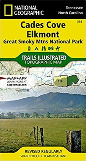
Wandelkaart 316 Cades Cove & Elkmont - Great smoky mtns NP • 9781566955003
TOPO Wandelkaart 316 - Cades Cove & Elkmont - Nat Geo The Great smoky mountains! Productomschrijving: Cades Cove is een geïsoleerde vallei gelegen in het Tennessee gedeelte van het "Great Smoky Mountains National Park", USA. Vandaag is Cades Cove, de meest bekendste bestemming voor bezoekers van het park, en ontvangt meer dan 2 milioen bezoekers per jaar. Engelse omschrijving: Ame…
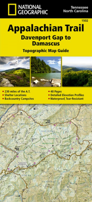
Wandelkaart 1502 Appalachian Trail - Deel 2 - NatGeo • 9781597756396
Wandelkaart 1502 > Appalachian Trail deel 4 > Davenport Gap-Damascus (9781597756396) Nat Geo Productomschrijving: Deze trail is een wonderbaarlijke route die van Main tot in Atlanta loopt, en ettelijke duizenden Km lang is. De route loopt door de mooiste delen van Oost USA, meerbepaald Virginia e.d. De route wordt jaarlijke door duizenden liefhebbers afgelopen, maar aangezien de route dusd…
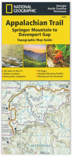
Wandelkaart 1501 Appalachian Trail - Deel 1 - Natgeo • 9781597756389
TOPO Wandelkaart 1501 - Springer Mt to Davenport Gap - Natgeo Productomschrijving: Deel 1 - 3500 km wonderbaarlijke route van Main tot in Atlan. Deze kaart omvat het eerste deel van 13 van Springer mountain tot aan Davenport Gap. Omvat de regio's Georgia, North Carolina & Tennessee. Engelse omschrijving: The Springer Mountain to Davenport Gap Topographic Map Guide makes a perfect trav…
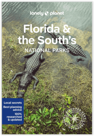
Wandelgids Florida & the South National Parks - Lonely Planet • 9781838696092
Florida & the South National Parks - Lonely Planet Productomschrijving: Lonely Planet's Florida and the South's National Parks is uw paspoort voor het meest relevante, up-to-date advies over wat je moet zien en overslaan. Kampeer in Congaree, peddel door de Everglades en beklim de Great Smoky Mountains, allemaal met je vertrouwde reisgenoot. Duik in het hart van Florida en de nationale par…