
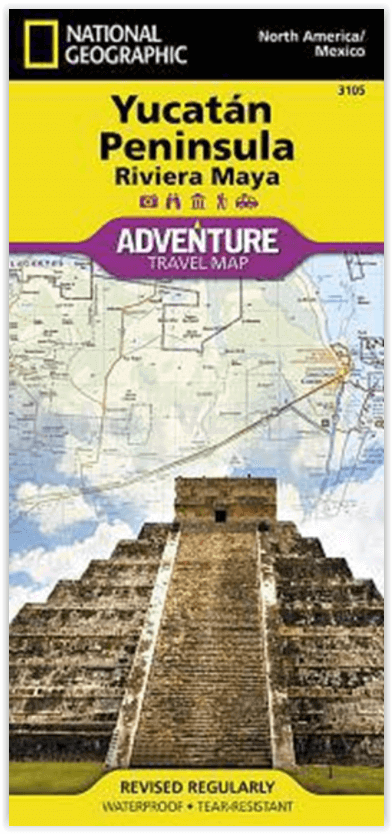
Wandelkaart 3105 Yucatan schiereiland Noord Mexico - Nat Geo
De thuisbasis van de historische Maya-beschaving
Korte omschrijving
Yucatan schiereiland Noord Mexico - Nat Geo Productomschrijving: Het schiereiland Yucatan, de thuisbasis van de historische Maya-beschaving en van veel van de mooiste stranden van Mexico, is...

Specificaties
- Uitgever: National Geographic
- ISBN-13: 9781566952453
- HOOFDCATEGORIEËN: Wandelkaart
- Activiteiten: Wandelen, Hiking & Trekking
- Land: Mexico
- Schaal: 1:500000
- Afmeting: 11x24
- Taal: Engels
Volledige omschrijving
Yucatan schiereiland Noord Mexico - Nat Geo
Productomschrijving: Het schiereiland Yucatan, de thuisbasis van de historische Maya-beschaving en van veel van de mooiste stranden van Mexico, is een populaire toeristische bestemming. National Geographic's Yucatan Peninsula Adventure Map is een complete reisgids voor de regio. Dekking begint in het gebied van Campeche en gaat verder naar de Caribische Zee en de Golf van Mexico kustlijnen, met inbegrip van de Riviera Maya.
De voorzijde bevat honderden bezienswaardigheden, een gedetailleerd wegennet en topografische kenmerken, gecombineerd in één deskundig onderzochte kaart, samen met inzetkaarten van de steden Merida en Cancún. De achterkant bevat kaarten en waardevolle informatie van de Maya ruïnes in Chichen Itza, Ek Balam, Tulum, San Gervasio, Coba, El Rey en Uxmal.
Een gebruiksvriendelijke index van federale, staats- en gemeentelijke beschermde gebieden, zoals Isla Mujeres, Yum Balam en Cozumel, zal u helpen uw avontuurlijke plek te vinden. Plan vervolgens uw route met het in kaart gebrachte wegennet, dat zowel grote wegen als onverharde wegen en grindwegen omvat, voor degenen die van de gebaande paden af willen. Andere transportmogelijkheden die in kaart zijn gebracht zijn landingsbanen, veerbootroutes, spoorwegen en havens. Onderweg vindt u culturele, historische, ecologische en avontuurlijke bezienswaardigheden, zoals UNESCO World Heritage Sites, Maya sites, ruïnes, vuurtorens, stranden, riffen en gebieden om te surfen, kajakken, zeilen, windsurfen, snorkelen, duiken en vissen.
Engelse omschrijving: Home to historic Maya civilization as well as to many of Mexico's most beautiful beaches, the Yucatan Peninsula is a popular tourist destination. National Geographic's Yucatan Peninsula Adventure Map is a complete travel guide to the region. Coverage begins in the area of Campeche and continues to the Caribbean Sea and Gulf of Mexico shorelines, including the Riviera Maya. The front side presents hundreds of points of interest, a detailed road network and topographic features, combined in one expertly researched map, along with inset maps of the cities Merida and Cancun. While the reverse side provides maps and valuable information of the Maya ruins at Chichen Itza, Ek Balam, Tulum, San Gervasio, Coba, El Rey and Uxmal.
A user-friendly index of federal, state and municipal protected areas, such as Isla Mujeres, Yum Balam and Cozumel, will help you find your adventure site. Then, plan your route with the mapped road network which includes major roads as well as dirt and gravel roads, for those wishing to travel off the beaten path. Additional transportation features mapped include airstrips, ferry routes. railroads and harbors. Along the way, find cultural, historical, ecological and adventure points of interest, such as UNESCO World Heritage Sites, Maya sites, ruins, lighthouses, beaches, reefs and areas for surfing, kayaking, sailing, wind surfing, snorkeling, diving and fishing.
Every Adventure Map is printed on durable synthetic paper, making them waterproof, tear-resistant and tough — capable of withstanding the rigors of international travel.