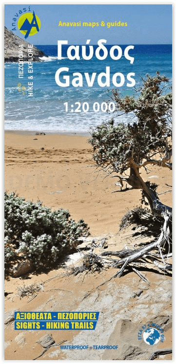
Wandelkaart 11.20 Gavdos Griekenland - Anavasi
Omvat het gehele wandelnetwerk van het eiland
Korte omschrijving
Wandelkaart Gavdos Griekenland - Anavasi Productomschrijving: De wandelkaart van het eiland Gavdos in de Libische Zee in Griekenland, in een schaal van 1:20 000, met zijn topografische achte...

Specificaties
- Uitgever: Anavasi Editions
- ISBN-13: 9789609412919
- HOOFDCATEGORIEËN: Wandelkaart
- Activiteiten: Wandelen, Hiking & Trekking
- Regio: Libische Zee, Griekenland
- Land: Griekenland
- Schaal: 1:20000
- Afmeting: 12x24
- Taal: Engels
Volledige omschrijving
Wandelkaart Gavdos Griekenland - Anavasi
Productomschrijving: De wandelkaart van het eiland Gavdos in de Libische Zee in Griekenland, in een schaal van 1:20 000, met zijn topografische achtergrond, omvat het gehele wandelnetwerk van het eiland. Op de achterkant van de kaart staat informatie over de geografie, de natuurlijke omgeving en de geschiedenis van het eiland.
Naast voorgestelde wandelroutes met hun basisgegevens is er ook een kleine gids voor vrij kamperen, gebaseerd op respect voor de natuur en harmonieus samenleven met de natuur. De kaart is gedrukt op watervast Polyart papier.
Engelse omschrijving: The hiking map of Gavdos island in a scale of 1:20 000, with its topographical background, includes the entire road and hiking network of the island. On the back side of the map, there are information about the geography, the natural environment and the history of the island.
In addition to suggested hiking routes with their basic details, there is also a small guide for free camping, based on respect for nature and harmonious coexistence with it. The map is printed on waterproof Polyart paper.


