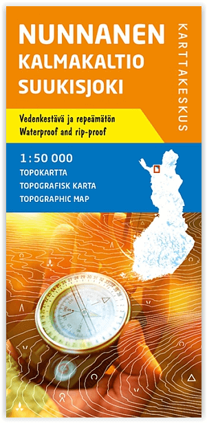
Wandelkaart 007 Pöyrisjärvi NP- Kalmakaltio & Hetta- Karttakeskus
Een nationaal park in het noorden van Finland
Korte omschrijving
Wandelkaart Pöyrisjärvi NP- Kalmakaltio & Hetta - Finland Productomschrijving: Pöyrisjärvi NP, is een nationaal park in het noorden van Finland. Met Kalmakaltio, een open Wilderness Hut, een...

Specificaties
- Uitgever: Karttakeskus
- ISBN-13: 9789522666864
- HOOFDCATEGORIEËN: Wandelkaart
- Activiteiten: Wandelen, Hiking & Trekking
- Regio: Kemijoki, Finland
- Land: Finland
- Nationale parken: Pöyrisjärvi NP, Finland
- Schaal: 1:50000
- Afmeting: 10x22
- Taal: Engels
Volledige omschrijving
Wandelkaart Pöyrisjärvi NP- Kalmakaltio & Hetta - Finland
Productomschrijving: Pöyrisjärvi NP, is een nationaal park in het noorden van Finland. Met Kalmakaltio, een open Wilderness Hut, een wildernis hut in Finnish Lapland. Waar jaarlijkls vele wandelaars naartoekomen voor zijn majesueuze natuur en landschappen.
Engelse omschrijving: The Outdoor GT Series has plenty of information to offer for travellers during any season. The map focuses on cycling, paddling, hiking and snowmobile trips, so it is a useful outdoor map both in summer and in winter. For cyclists, the map has cycling routes with information on if they are paved or unpaved. Paddlers will find information on kayak and canoe trails, dangerous rapids and portage trails. To help hikers plan their journey, the map shows extensively the various marked hiking trails and wilderness huts in the area.
An Outdoor GT map is based on a road map with wetlands and contour lines (20-metre intervals) added and with plenty of travelling information. The map shows also the areas covered by the detailed outdoor maps published by Karttakeskus to help travellers find a more accurate map of their destination. On the side of the map you will find information on national cycling routes, instructions on carrying bicycles in public transports, kayak and canoe trails, hiking trails and snowmobile routes.

Locatie op kaart
Overzichtskaarten

TOPO Wandelkaart - T50 Finland Karttakeskus
TOPO Wandelkaart - T50 Finland Karttakeskus

Producten op de overzichtskaart
Klik op een product om naar de detailpagina te gaan.
- Wandelkaart 001 Itäkaira Kemihaara Lokka - Karttakeskus
- Wandelkaart 002 Kaaresuvanto Finland - Karttakeskus
- Wandelkaart 005 Nunnanen Kalmakaltio Suukisjoki - Karttakeskus
- Wandelkaart 006 Näätämöjoki - Sevettijärvi Silisjoki - Karttakeskus
- Wandelkaart 007 Pöyrisjärvi NP- Kalmakaltio & Hetta- Karttakeskus
- Wandelkaart 008 Ropi Kalkkoaivi Munnikurkkio - Karttakeskus
- Wandelkaart 010 Tsarmitunturi Nellim Nangujärvi - Karttakeskus
- Wandelkaart 011 Tuntsa- Tulppio & Sorsatunturi - Karttakeskus
- Wandelkaart 023 Kuhmo- Lentiira & Jonkeri FInland - Karttakeskus


