
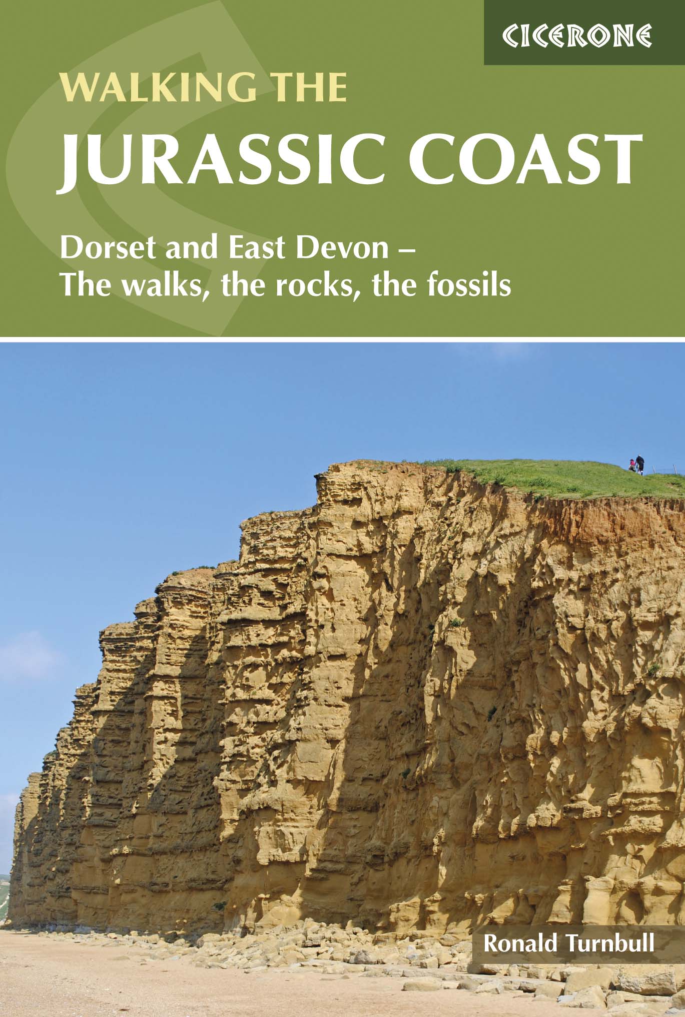
Wandelgids Walking the Jurassic Coast - Cicerone
30 wandelingen langs de Jurassic Coast van Devon en Dorset

Korte omschrijving
Wandelgids - Walking the Jurassic Coast - Cicerone Discover the Jurassic Coast of Devon and Dorset with a Cicerone guide. Productomschrijving: Deze gids bevat 30 wandelingen naar de Jura...

Specificaties
- Uitgever: CICERONE Press
- ISBN-13: 9781852847418
- HOOFDCATEGORIEËN: Wandelgids
- Activiteiten: Wandelen, Hiking & Trekking
- Auteur: Ronald Turnbull
- Regio: Devon, England, Dorset, England
- Land: England
- Blz.: 240
- Afmeting: 12x17
- Editie: 1
- Taal: Engels
Volledige omschrijving
Wandelgids - Walking the Jurassic Coast - Cicerone
Discover the Jurassic Coast of Devon and Dorset with a Cicerone guide.
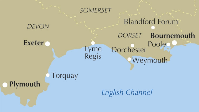
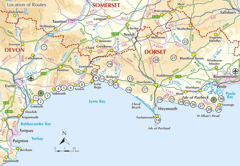
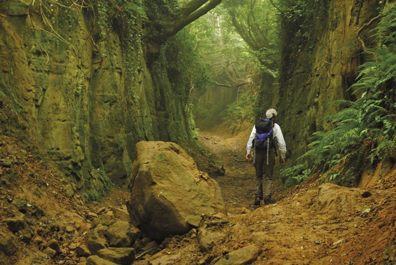
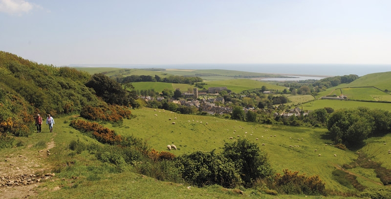
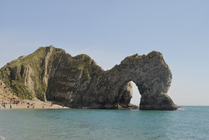
Productomschrijving: Deze gids bevat 30 wandelingen naar de Jurassic Coast van Devon en Dorset. Dekking van de kust tussen Exmouth en Bournemouth, deze prachtige routes variëren van 3 tot 16 mijl (5 tot 24km). De gids verkent en geeft uitleg over de spectaculaire geologie van een stuk Werelderfgoed met duidelijke, gemakkelijk te begrijpen beschrijving, doorsneden en tijdlijnen. De Jurasic Coast heeft zijn naam niet gestolen.
Product description: This guidebook includes 30 walks on the Jurassic Coast of Devon and Dorset. Covering the coast between Exmouth and Bournemouth, these delightful routes range from 3 to 16 miles (5 to 24km), exploring and explaining the spectacular geology of this World Heritage area with clear, easily understood descriptions, cross-sections and timelines.
Seasons:
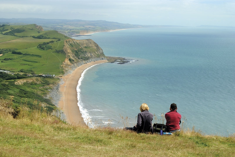
Year-round. Late July and August can be busy on beaches and car parks. Winter (October to March) has more challenging weather and can be muddy underfoot.
Centres:
Budleigh Salterton, Sidmouth, Beer/Seaton, Lyme Regis/Charmouth, Bridport, Dorchester, Portland, Cerne Abbas, Lulworth, Swanage.
Difficulty:
Most walks are on good, clear paths. Coast path ascents and descents can be steep but are short. The longer walks, up to 28km, require physical fitness but many shorter ones allow time for studying the rockforms and fossils.
Must See:
Nearly 100 miles of clifftops. Fossil-hunting at Lyme Regis. The quartzite pebbles of Budleigh Salterton. Tree trunks of 150 million years ago at Lulworth Cove. The Cretaceous sea that carved right across England. Chalk downland and a rude man at Cerne Abbas. The Purbeck crumple zone caused by Italy's impact with Europe.
Locatie op kaart
Artikelen uit dezelfde regio

Wandelkaart 129 Yeovil & Sherborne - Somerset - OSI • 9780319243251
Wandelkaart Yeovil & Sherborne - Dorset and Somerset - OSI Omvat ook: Somerton & Wincanton. Productbeschrijving: Kaart nummer 129 in de OS Explorer kaarten reeks beslaat een gebied van Somerton en Wincanton in het noorden van Yeovil en Sherborne rond North Dorset en Somerset. Hoogtepunten van het gebied van de Monach Way, Stour Valley Way en Macmillan Way West. De OS Explorer kaart voo…

Wandelkaart 116 Lyme Regis & Bridport- Dorset - OSI • 9780319469965
Wandelkaart Lyme Regis & Bridport - Dorset England - OSI Productbeschrijving: Kaart nummer 116 in de OS Explorer kaarten reeks heeft betrekking op het gebied van Oost-Devon en West Dorset tussen Beer en Burton Bradstock. Hoogtepunten van het gebied zijn onder andere: Lyme Regis, Lyme Bay. Bridport, Charmouth, Beaminster, Chard, de rivier bijl, Axminster en het Zuid-Westelijke kust pad. De …
Wandelgids DEEL 1 Coast Path Exmoor & North Devon - Trailblazer • 9781912716241
Wandelgids DEEL 1 - Exmoor & North Devon Coast Path Productomschrijving: Exmoor & North Devon kustpad (South-West Coast Path Deel 1) Minehead naar Bude. Deze gids omvat het eerste deel van het South West Coast Path, van Minehead naar Bude (124,5 mijl). Deze spectaculaire 10- tot 12-daagse route loopt door het Exmoor National Park langs de hoogste kustlijn van Engeland (meer dan 800…

Wandelgids Dorset short walks - Collins • 9780008101565
Wandelgids - Dorset short walks - Collins Productomschrijving: Dorset heeft een oppervlakte van 2.653 km2, en bevat een aanzienlijke variatie in de onderliggende geologie, die medeverantwoordelijk is voor de diversiteit van het landschap. Het is nu net dit landschap die Dorset zo aantrekkelijk maakt voor de wandelaar en of fietser. Collins maakte er een verzameling van, om makkelijk de moo…

Wandelkaart 114 Exeter & Exe Valley- Devon - OSI • 9780319469941
Wandelkaart Exeter & The Exe Valley - Devon England - OSI Productbeschrijving: Kaart nummer 114 in de OS Explorer reeks heeft betrekking op de Exeter vallei ten noorden van de stad van Exeter in Devon. Onderdelen van Exmoor en Dartmoor nationale parken zijn opgenomen in de kaart, samen met de Exe Valley way en Two Moors Way. Andere hoogtepunten van het gebied zijn Crediton, Tiverton Tivert…