Wandelgids Ticino walking guide - Cicerone
Lugano - Locarn - Bellinzona - Biasca - Airolo - St Gotthard Pass
Korte omschrijving
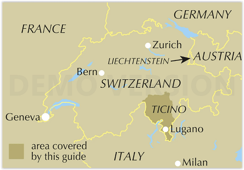
Ticino walking guide - Cicerone Productomschrijving: Gids voor 38 dagwandelingen in Ticino, Zwitserland, die Lugano, Locarno (Lago Maggiore), Bellinzona en Biasca, en Airolo en de Gotthardpa...

Specificaties
- Uitgever: CICERONE Press
- ISBN-13: 9781786310606
- HOOFDCATEGORIEËN: Wandelgids
- Activiteiten: Wandelen, Hiking & Trekking
- Auteur: Andrew Beattie
- Regio: Tessin / Ticino
- Land: Zwitserland
- Blz.: 256
- Afmeting: 12x17
- Editie: 1
- Taal: Engels
Volledige omschrijving
Ticino walking guide - Cicerone
Productomschrijving: Gids voor 38 dagwandelingen in Ticino, Zwitserland, die Lugano, Locarno (Lago Maggiore), Bellinzona en Biasca, en Airolo en de Gotthardpas bestrijken. Routes voor alle niveaus, variërend van 4 km tot 19 km, benadrukken het beste wat het platteland van Ticino te bieden heeft, van dorpjes en weelderige valleien tot prachtige bergen en stromende watervallen.
Engelse omschrijving: Guide to 38 graded day walks in Ticino, Switzerland, covering Lugano, Locarno (Lake Maggiore), Bellinzona and Biasca, and Airolo and the St Gotthard Pass. Routes for all abilities, ranging from 4km to 19km, highlight the best the Ticino countryside has to offer, from villages and lush valleys, to stunning mountains and gushing waterfalls.
Seasons:
Late summer/early autumn is the best time to walk in Ticino, with the heat and crowds from high summer gone and the weather often fine and clear.
Centres:
Ticino features the five main areas of lakeside resorts Lugano and Locarn, the Cantonal capital Bellinzona, and its neighbour Biasca, and Airolo, at the foot of the St Gotthard Pass.
Difficulty:
Routes are graded to cover a wide range of difficulties, from level lakeshore strolls to trails that cross more challenging terrain up to an altitude of 2600m (the snowline). Apart from walking poles and a pair of stout boots, no specialist equipment is required.
Must See:
Ticino's most iconic places are the two lakeside resorts of Lugano and Locarno, with their Italianate piazzas and handsome architecture, and the wilder mountain areas to the north, especially around the high passes that link the Canton with the rest of Switzerland - most notably, the St Gotthard.

Locatie op kaart
Artikelen uit dezelfde regio

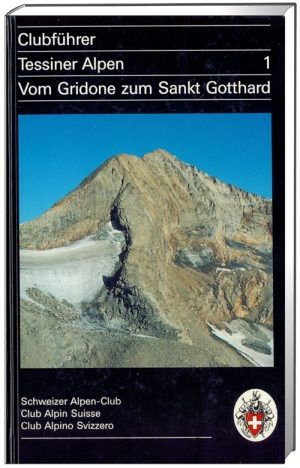
Wandelgids & klimgids Tessiner Alpen 1- SAC • 9783859021068
Wandelgids & klimgids - Tessiner Alpen 1 Omvat het gebied: Gridone zum Sankt Gotthard Productomschrijving: Deze Club gids helpt vrienden van de Ticino bergen tot gelukkige ervaringen, zelden beklommen pieken, en in mindere mate, zelfs onbekende paden. Het is niet alleen een technische gids, maar komt daarentegen ook op cultureel gebied, op voor het alpinisme. Routebeschrijvingen: …

Wandelgids Alpinwandern im Tessin - SAC • 9783859022935
Wandelgids Alpinwandern im Tessin Omvat: Einsame Touren südlich des Gotthards Productomschrijving: Alpine wandelen Tessin beschrijft éénzame, veeleisende wandelingen door weinige bekende gebieden van de Ticino Alpen. De selectie omvat een grote wandeling langs de grens van de Monte Generoso tot de Gotthard en Zuid naar Monte Lema. Als toevoeging, worden reizen gepresenteerd door Pizzo…

Wandelgids Ossola Alpinwandern - SAC Schweizer Alpen Club • 9783859024212
Wandelgids Ossola Alpinwandern - SAC Schweizer Alpen Club Productomschrijving: De streek rond Domodossola verbindt het laagste en het hoogste punt van Zwitserland - het Lago Maggiore en de Monte Rosa. In deze driehoek, die bijna tot aan de Nufenenpas naar het noorden reikt, bevinden zich ideale en beslist eenzame tochten in het beste alpine wandelgebied - van verlaten paden door stugge bo…

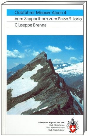
Klimgids Misoxer Alpen 4 - vom Zapporthorn zum Passo - SAC • 9783859021969
Klimgids Misoxer Alpen 4 Omvat: Von Zapporthorn zum Passo San Jorio Productomschrijving: Deze gids beschrijft de bergen tussen het Zapphorn en de Passo San Jorio. Een heel prachtig en gevarieerd gebied met vele afgelegen, wild en afgelegen hoeken; een gebied dat vele geestelijke en visuele indrukken geeft op een gevoelige, vrede-zoekende bergbeklimmer. Duitse omschrijving: Der Füh…

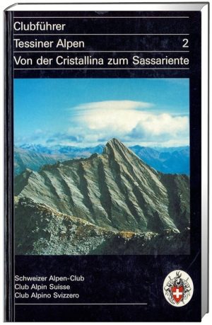
Wandelgids & klimgids Tessiner Alpen 2 - SAC • 9783859021181
Wandelgids & klimgids - Tessiner Alpen 2 Omvat het gebied: Von der Cristallina zum Sassariente Productomschrijving: Deze gids beschrijft een oppervlakte van 1600 km2. Hij beschrijft ongeveer 300 toppen en 176 overgangen, gevuld door diepe valleien met weelderige vegetatie, vervallen en verlaten Alpine streams met kristal helder water, sapphire-blauwe meren van rock en gras, Firns en gl…


