
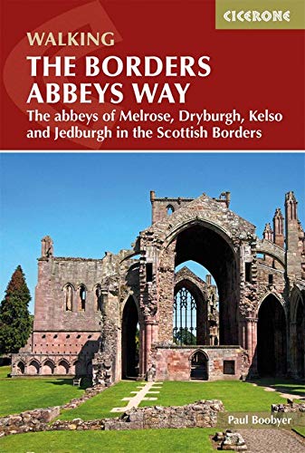
Wandelgids The Borders Abbeys Way - Cicerone
Een 109 km lange afstand pad op het Schotse grensgebied
Korte omschrijving
Wandelgids - The Borders Abbeys Way - Cicerone Productomschrijving: Deze gids brengt u langs een 109 km lange afstand pad op- en rond het Schotse grensgebied. Langs de route bevinden zich 4 ...

Specificaties
- Uitgever: CICERONE Press
- ISBN-13: 9781852849801
- HOOFDCATEGORIEËN: Wandelgids
- Activiteiten: Wandelen, Hiking & Trekking
- Regio: Schotse grenzen
- Land: Schotland
- Lange afstand wandelroutes: The Borders Abbeys Way (109 km)
- Blz.: 96
- Afmeting: 12x17
- Editie: 1
- Taal: Engels
Volledige omschrijving
Wandelgids - The Borders Abbeys Way - Cicerone
Productomschrijving: Deze gids brengt u langs een 109 km lange afstand pad op- en rond het Schotse grensgebied. Langs de route bevinden zich 4 van de beroemste oude Schotse Abbey's. De route start en eindigd in Tweedbank Schotland, en loopt voor zo'n dikke 109 km. De gids beschrijft een dikke 6 etappes en is zeer geschiedenisrijk. Goed voor mensen met een gemiddelde fizieke conditie, en kan bewandeld worden het ganse jaar door..
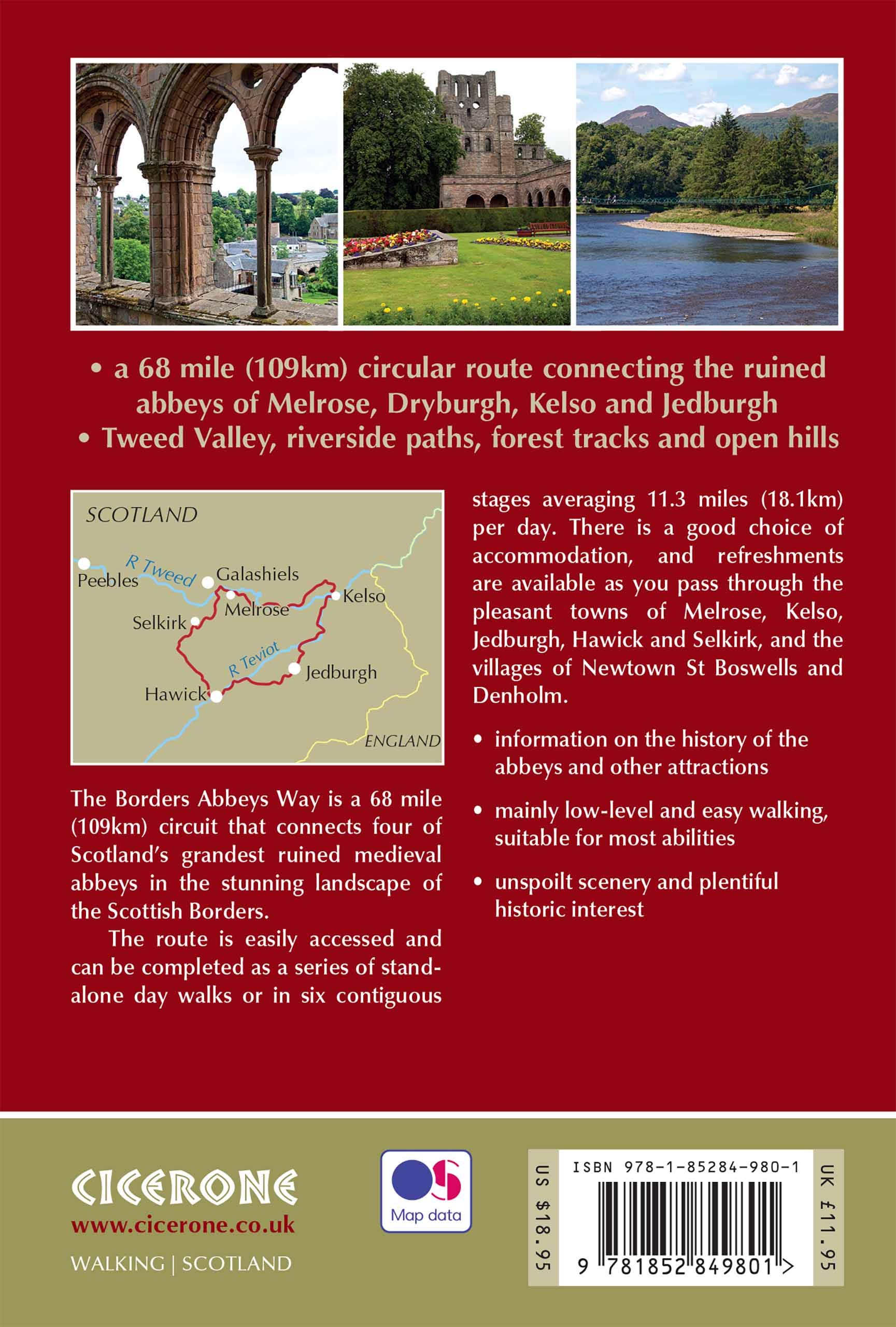
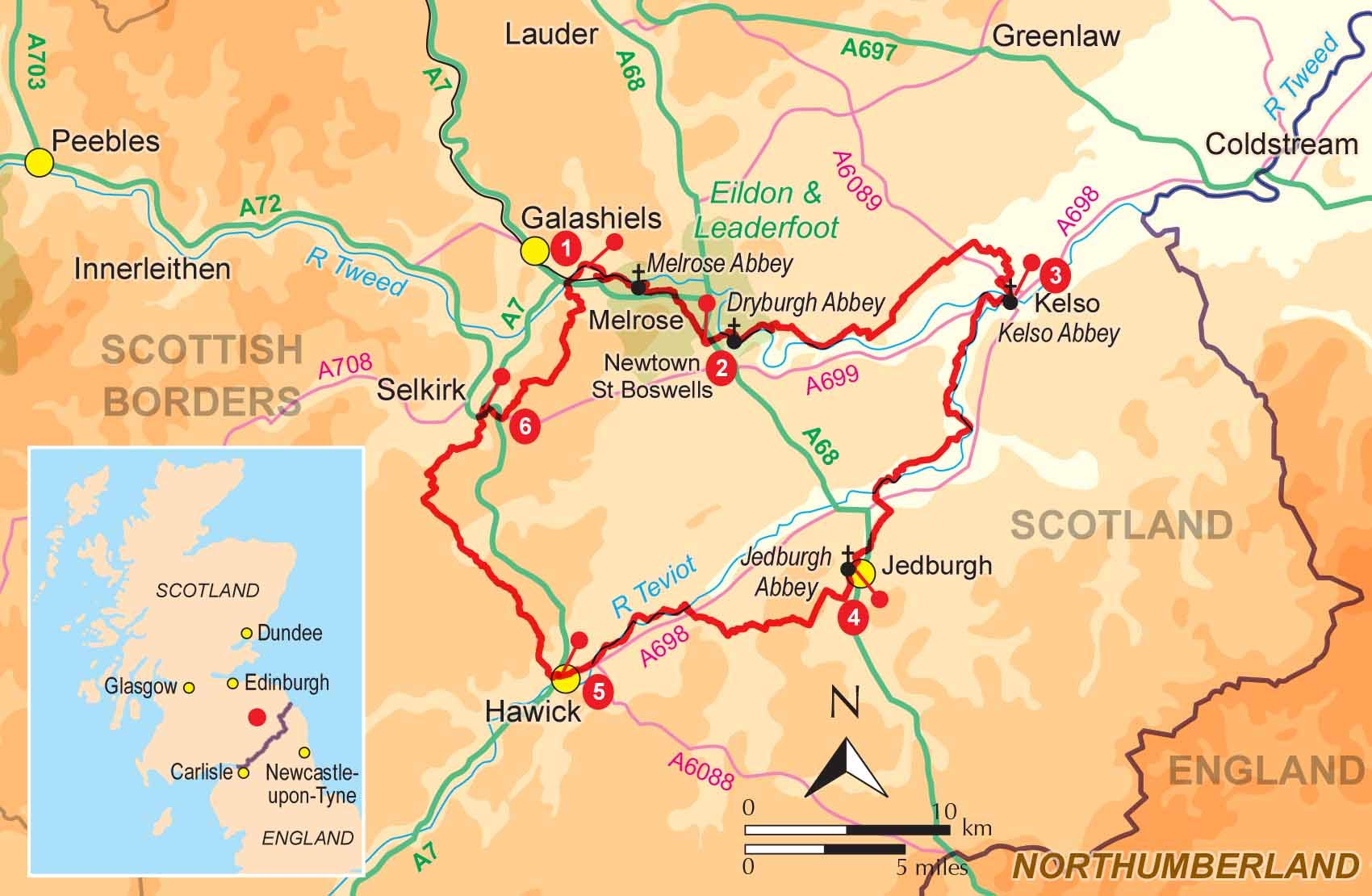
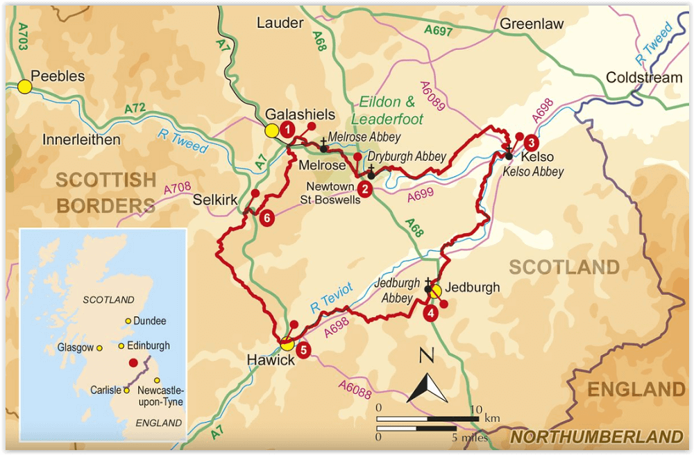
Product description:: Guidebook to the Borders Abbeys Way, a 68 mile circuit in the beautiful Scottish Borders. Taking in four of Britain's grandest ruined medieval abbeys, the route which begins and ends in Tweedbank, is described over 6 stages, and is as rich in history as it is pastoral charm. Relatively flat, it is suitable for people with a moderate level of fitness, and can be undertaken at any time of year.
In addition to clear route description and OS mapping extracts, the guidebook also includes information about the history of the Borders abbeys, the ever-intriguing Borders reivers, and the region's geology and agriculture. Invaluable practical information relating to accommodation, transport, mapping and public access is also included. As historically enchanting as it is visually delightful, the Borders Abbeys Way will connect walkers with a truly fascinating period of history. In fact, some of the paths on the Way are the very same routes that monks used to travel between the Borders abbeys, and no doubt were also used by the notorious reivers.
Artikelen uit dezelfde regio

Wandelkaart 331 Teviotdale South Scotish Borders - OSI • 9780319472033
Wandelkaart Teviotdale South - Schotish Borders Productbeschrijving: OS Explorer kaart 331 omvat de rivier Teviot, Teviotdale, de stad van Hawick en de omliggende dorpen. Het terrein is gevarieerd, met zachte valleien oplopend tot enkele steile hellingen en half hoge pieken. De OS Explorer kaart voor Teviotdale zuiden is beschikbaar in zowel de standaard papieren versie als de weerbestendi…

Wandelkaart 74 Kelso & Coldstream - Schotland - OSI • 9780319261729
Wandelkaart Kelso & Coldstream - Schotland Productbeschrijving: De steden van Kelso en Coldstream bevinden zich net over de Schotse grens. Kaart OS Landranger 74 omvat ook Duns, Eccles, Paxton, The Cheviot, Branxton, Blythe, onderdeel van de Pennine Way en deel van de Southern Upland Way, alsmede een klein gedeelte van het schilderachtige Northumberland National Park. De OS Landranger …

Wandelkaart 337 Peebles & Interleithen - OSI • 9780319472095
Wandelkaart Peebles & Interleithen - Schotisch borders Omvat ook: Eddleston & Ettrickbridge Traquair & Yarrow. Productbeschrijving: OS Explorer kaart 337 dekt Peebles, Zeist en de omliggende dorpen. Deze kaart toont deel van de "Southern Upland Way" (deel van de E2 Europese Long Distance pad) en de Peebles end van "John Buchan Way", samen met deel van de bovenste Tweeddale nationale Sc…

Wandelkaart 331 Teviotdale South Schotisch Borders - OSI • 9780319245835
Wandelkaart Teviotdale South - Schotisch Borders Omvat ook: Hawick. Productbeschrijving: OS Explorer kaart 331 omvat de rivier Teviot in Teviotdale, de stad van Hawick en de omliggende dorpen. Het terrein is gevarieerd, met zachte valleien oplopend tot enkele steile hellingen en halfhoge pieken. De OS Explorer kaart voor Teviotdale zuiden is beschikbaar in zowel de standaard papieren v…

Wandelkaart 79 Hawick & Eskdale Schotland - OSI • 9780319261774
Wandelkaart Hawick & Eskdale - Schotland Productbeschrijving: OS Landranger kaart 79 omvat Eskdale, Liddesdale and Teviot Dale, plus de stad Hawick. De huidige vallei is een populaire gebied om te wandelen met een aangename dal, en steile beklimmingen. De Head for Hart Fell (808m) voor een boeiende en soms uitdagende ridge wandeling De OS Landranger kaarten reeks heeft betrekking op Gr…