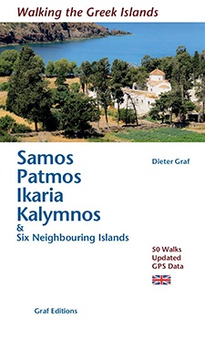
Wandelgids Samos- Patmos- Ikaria - 50 wandelingen - Graf Editions
50 routes en 6 eilanden - wandelen en avontuur in Griekenland
Korte omschrijving
50 wandelingen Samos - Patmos - Ikaria - Graf Editions Productomschrijving: Een unieke wandelgids met 50 wandelingen met GPS, op 6 speciaal uitgekozen topeilanden van de Griekse eilandengroe...

Specificaties
- Uitgever: Graf Editions
- ISBN-13: 9783981404760
- HOOFDCATEGORIEËN: Wandelgids
- Activiteiten: Wandelen, Hiking & Trekking
- Auteur: Dieter Graf
- Land: Griekenland
- Blz.: 176
- Afmeting: 11x19
- Editie: 2
- Taal: Engels
Volledige omschrijving
50 wandelingen Samos - Patmos - Ikaria - Graf Editions
Productomschrijving: Een unieke wandelgids met 50 wandelingen met GPS, op 6 speciaal uitgekozen topeilanden van de Griekse eilandengroep op Samos, Patmos, Ikaria, Kalymnos en zes naburige eilanden in de Egeïsche Zee. Een samenvatting van toffe alledaagse wandelingen, die elk van ons kan tevreden stellen. Samos en de naburige eilanden zijn rijk aan geschiedenis, cultuur, architectuur en de natuurlijke schoonheid, gedetailleerde kaarten en foto's.
Engelse omschrijving: This book describes the loveliest old walking trails. With precise descriptions and route photos of outstanding points for better orientation. And lots of interesting facts worth knowing about the Islands. It is made for island hoppers who want to drift through the island world by ship and who would also like to hike and swim in this ancient cultural landscape. Ten to twelve islands, among them very small ones, are described in each book, except for Walking on Naxos and Walking on Samos with only one island respectively.
The walks are carefully selected so that places of cultural significance as well as lonesome beaches can be found along the way. Exploring the remaining ancient mule tracks and marble plated roads make the walks especially enjoyable. Each walk is characterized by a precise and plain text as well as a detailed map. Six to four photos of distinctive places allow for orientation along the way, precise split times are given to check. Cultural information complete the picture of each walk. Shortcuts of longer walks and alternative routes for a second hike are described.


