
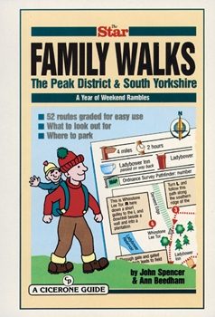
Wandelgids Peak District & South Yorkshire - Cicerone
Winnaar van de beste gids van COLA/OWG 1998
Korte omschrijving
Wandelgids - Peak District & South Yorkshire - Cicerone Productomschrijving: Een gids naar 52 korte circulaire wandelingen in het Peak District en Zuid-Yorkshire, in Noord-Engeland, aangepas...

Specificaties
- Uitgever: CICERONE Press
- ISBN-13: 9781852842574
- HOOFDCATEGORIEËN: Wandelgids
- Activiteiten: Wandelen, Hiking & Trekking
- Regio: Midlands, England, Yorkshire, England
- Land: England
- Nationale parken: Peak District NP, Derbyshire UK
- Blz.: 64
- Afmeting: 15x21
- Editie: 1
- Taal: Engels
Volledige omschrijving
Wandelgids - Peak District & South Yorkshire - Cicerone
Productomschrijving: Een gids naar 52 korte circulaire wandelingen in het Peak District en Zuid-Yorkshire, in Noord-Engeland, aangepast door plaatselijke Sheffield krant "The Star Weekend walking kolom". Routes zijn 2 tot 3 uur lang, dus ideaal voor gezinnen. Winnaar van de beste gids van COLA/OWG 1998. Allemaal binnen een uur van Sheffield. Deze collectie van 52 wandelingen in het Peak District en Zuid-Yorkshire omvat alles, van wandelingen langs kanalen tot ruwere routes, van vallei ballades tot boswandelingen.
Product description: This collection of 52 walks in the peak District and South Yorkshire covers everything from canalside ambles to ridge routes, from valley strolls to woodland wanders. Adapted from The Star’s popular Weekend Walk column, almost all are suitable for families with children, and everyone is graded with a guide as to how long the routes should take to make planning your outing easier. Almost all the walks take no more than two or three hours to complete, leaving you free to explore neighbouring town and places of interest.
- How to get there
- Local pubs & refreshment stops
- Which walks deserve a picnic break
- A short description of natural or local history to make each outing more enjoyable.
Locatie op kaart
Artikelen uit dezelfde regio
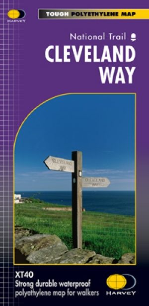
Wandelkaart Cleveland Way - Across North York NP - Harvey maps • 9781851374892
Wandelkaart Cleveland Way - Across North York NP - Harvey maps Productomschrijving: 174km (109 mijl) van Helmsley over het North York Moors National Park naar Saltburn en langs de kust via Scarborough eindigend met Filey. Informatie over het vinden van accommodatie, camping, voedsel. Routebeschrijving naar het begin. Ook Ranger Service contacten met nummers en uitbreidingen van steden/dorp…

Wandelgids 50 walks in West Yorkshire - AA Publi. • 9780749583798
50 walks in West Yorkshire - AA Publishing Productomschrijving: West Yorkshire, een regio die de perfecte balans biedt tussen natuur en stedelijke charme, heeft veel te bieden voor wandelaars. De gids "50 Walks in West Yorkshire" neemt je mee langs schilderachtige routes door glooiende landschappen, historische locaties en levendige steden. Wat Kun Je Verwachten? Prachtige Natuur: …

Wandelgids Atlas Yorkshire Dales NP - Harvey maps • 9781851374953
Wandelgids - Atlas Yorkshire Dales NP - Harvey maps Productomschrijving: Deze spiraal gebonden gids/Atlas combineert in één volume, de gedetailleerde kaarten van de Yorkshire Dales, die betrekking hebben op het geheel van het nationaal park en het gebied Midden Dale. De atlas is ontworpen voor gebruik buitenshuis en de pagina's, hoewel niet scheur-proof, worden afgedrukt op waterdichte pap…
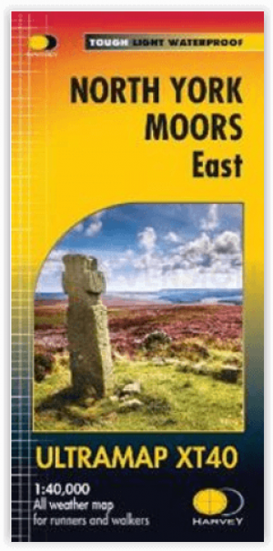
Wandelkaart North York Moors Oost XT40 - Harvey Maps • 9781851376230
Wandelkaart North York Moors Oost - Harvey Maps Productomschrijving: Omvat een groot gebied maar is praktisch en compact, zakformaat. Gedetailleerde kaart voor lopers en wandelaars van het oostelijk gedeelte van het Nationaal Park North York Moors. Omvat: Robin Hood's Bay, Flyingdales Moor en het populaire Rosedale Abbey. - De North Yorkshire Steam spoorweg en de Lyke Wake Walk zij…

Mountainbikegids Yorkshire Dales mountain biking - Cicerone • 9781852846763
Mountainbikegids - Yorkshire Dale mountain biking - Cicerone Productomschrijving: Een handige gids over 30 korte, middellange, lange en volledig-dag MTB routes over het Yorkshire Dales National Park, de speeltuin van de bergfietser van Noord-Engeland. Circulaire ritten bezoeken de grote valleien en nemen lussen rond twee van de drie pieken, Whernside en Pen-y-Gent. Kies een route door midd…