
Wandelgids North York Moors walking guide - Cicerone
Een dikke 50 wandelingen doorheen dit nationale park

Korte omschrijving
Wandelgids - North York Moors walking guide - Cicerone Productomschrijving: Dit zeer bekende nationale park behoort tot de mooiste van Engeland. Het park is waliswaar zonder hoge bergtoppen,...

Specificaties
- Uitgever: CICERONE Press
- ISBN-13: 9781852849511
- HOOFDCATEGORIEËN: Wandelgids
- Activiteiten: Wandelen, Hiking & Trekking
- Auteur: Paddy Dylan
- Regio: Yorkshire, England
- Land: England
- Nationale parken: North York Moors NP, England
- Blz.: 256
- Afmeting: 15x17
- Editie: 2
- Taal: Engels
Volledige omschrijving
Wandelgids - North York Moors walking guide - Cicerone
Productomschrijving: Dit zeer bekende nationale park behoort tot de mooiste van Engeland. Het park is waliswaar zonder hoge bergtoppen, maar is en blijft een prachtig gebied, waar de Engelsen goed voor zorgen. Deze gids brengt u een dikke 50 wandelingen doorheen de North York Moors Nationaal Park. Kies er éne uit en neem een duik in de Engelse binnenlandse fauna & flora.
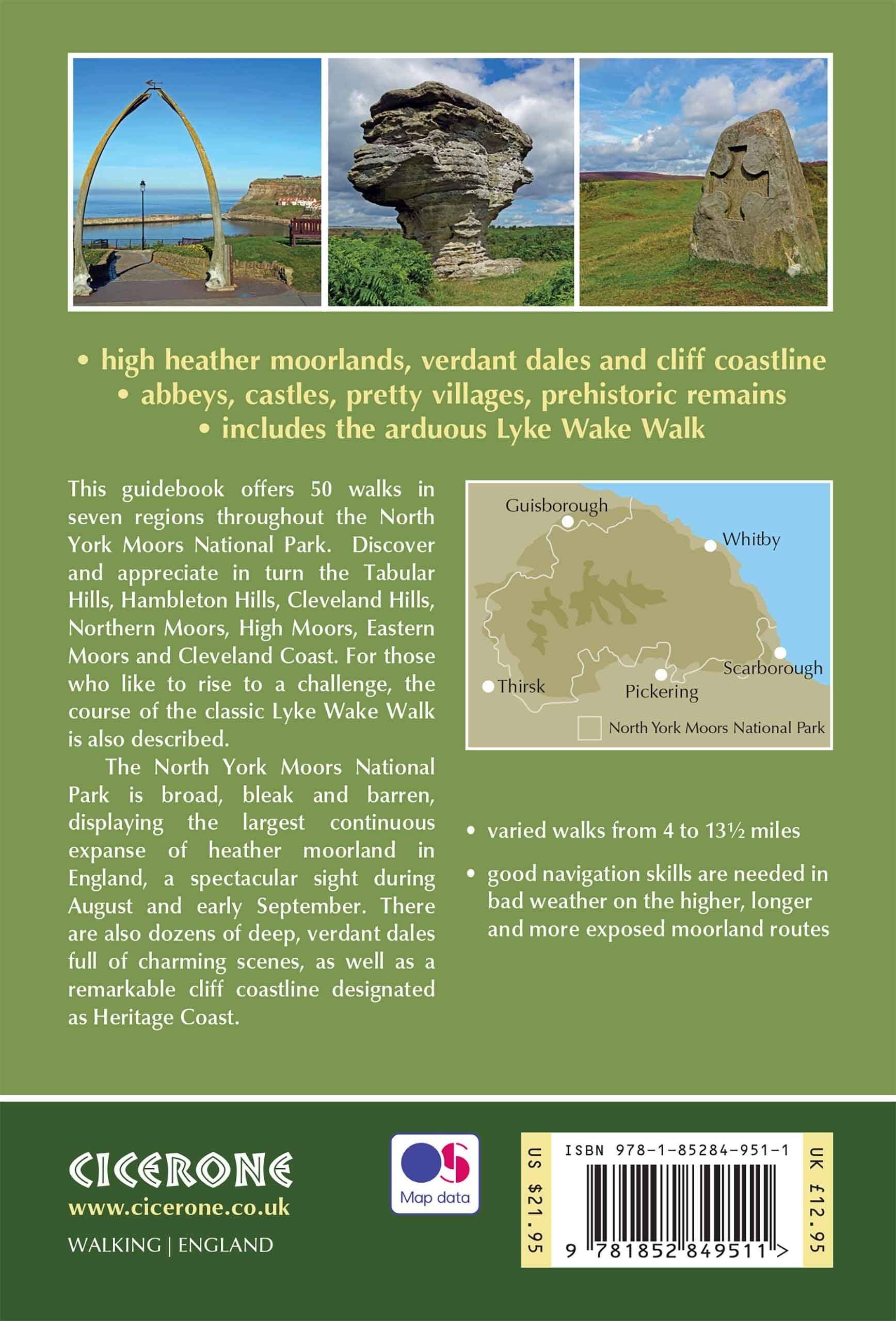
Product description : This guidebook describes 50 circular day walking routes in the North York Moors. The moors offer no great height but cover seven regions; the Tabular Hills, Hambleton Hills, Cleveland Hills, Northern Moors, High Moors, Eastern Moors and Cleveland Coast. There is also a four-day route following the classic Lyke Wake Walk.
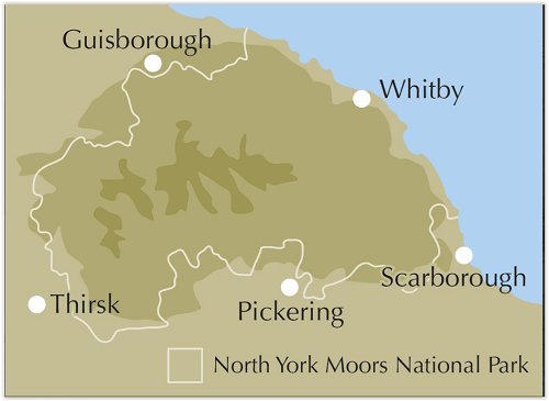
Regions; the Tabular Hills, Hambleton Hills, Cleveland Hills, Northern Moors, High Moors, Eastern Moors and Cleveland Coast. There is also a four-day route following the classic Lyke Wake Walk. Seasons: Spring and autumn are ideal to explore the North York Moors. Weather an issue on unsheltered moorland in winter; and accommodation is busy in summer.Centres: Great Ayton, Helmsley, Hutton-le-Hole, Pickering, Whitby, Osmotherley, Scarborough, Thisk, Guisborough.
Difficulty: Varied walks from 4 to 14 miles. Exposed moorland walks to coastal strolls.
Must See: Rievaulx Abbey, Kilburn white horse, industrial archaeology, the high moors, coastal path Whitby – Robin Hood’s Bay.
Locatie op kaart
Artikelen uit dezelfde regio

Wandelgids The Dales Way - Trailblazer • 9781912716302
Wandelgids The Dales Way - Trailblazer Publications Productomschrijving: Dales Way: Ilkley to Bowness-on-Windermere - Het langeafstandswandelpad Dales Way begint in Ilkley, in het Yorkshire Dales National Park en loopt over 81 mijl (130 km) om te eindigen in het Lake District, in Bowness-on-Windermere. Het volgt de prachtige rivier de Wharf richting Ribblehead, meandert dan langs de rivier…
Wandelkaart North York Moors Oost XT40 - Harvey Maps • 9781851376230
Wandelkaart North York Moors Oost - Harvey Maps Productomschrijving: Omvat een groot gebied maar is praktisch en compact, zakformaat. Gedetailleerde kaart voor lopers en wandelaars van het oostelijk gedeelte van het Nationaal Park North York Moors. Omvat: Robin Hood's Bay, Flyingdales Moor en het populaire Rosedale Abbey. - De North Yorkshire Steam spoorweg en de Lyke Wake Walk zij…

Wandelgids Northern England Coast to Coast walk - Cicerone • 9781852847593
Wandelgids - Northern England Coast to Coast walk - Cicerone Productomschrijving: Een wandelgids, uitgebreid in zijn genre, die u van kust naar kust brengt in de noordelijke regio's van Engeland. Deze streek is gekenmerkt door zijn geschiedenis met resten van zelf nog de Romeinse tijd. De regio is ook bekend om zijn Hadrian's Wall path. Product description: First devised by Alfred Wain…
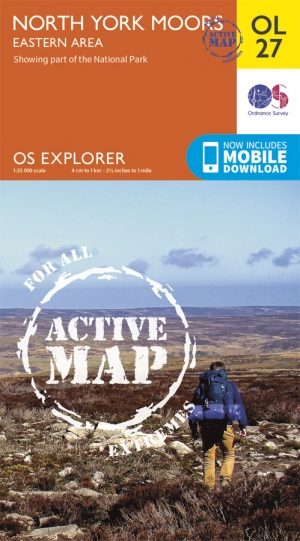
Wandelkaart OL27 North York Moors- Eastern area - OSI • 9780319469453
Wandelkaart North York Moors - Yorkshire England Omvat de: "Eastern area" Productbeschrijving: OS Explorer kaart OL27 omvat het North York Moors National Park, met inbegrip van de Cleveland Hills en The Hambleton Hills. Ook zijn op deze kaart de Celeveland way National Trail & de Tabular Hills way, Cleveland Street, Esk Valley Walk en het noordelijke uiteinde van Ebor way beschreven. D…

Reisgids Yorkshire - Rough Guides • 9781835290583
Reisgids Yorkshire - Rough Guides Productomschrijving: The Rough Guide to Yorkshire was the first comprehensive guidebook to England’s largest county. Detailed coverage of the ruggedly beautiful Dales and Moors, the magnificent North Sea coast and historic York rubs shoulders with penetrating insights into the multi-cultural cities of Leeds and Sheffield, the resurgent port of Hull, and th…