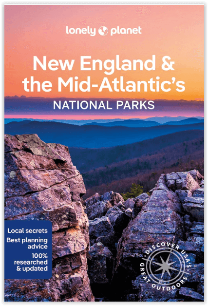
Wandelgids New England & Mid-Atlantic States NP's - Lonely Planet
Shenandoah National Park - Acadia NP
Korte omschrijving
New England & Mid-Atlantic States National Parks Productomschrijving: Lonely Planet's New England and the Mid-Atlantic States' National Parks is uw paspoort voor het meest actuele advies ove...

Specificaties
- Uitgever: Lonely Planet Publications
- ISBN-13: 9781838696078
- Auteur: Amy Balfour, Karla Zimmerman, Regis St Louis, Robert Balkovich, Virginia Maxwell
- Regio: Maine, USA, Virginia, USA
- Land: Verenigde Staten van Amerika (USA)
- Nationale parken: Acadia NP, Maine USA, Shenandoah NP, Virginia USA
- Blz.: 138
- Afmeting: 13x20
- Editie: 1
- Taal: Engels
Volledige omschrijving
New England & Mid-Atlantic States National Parks
Productomschrijving: Lonely Planet's New England and the Mid-Atlantic States' National Parks is uw paspoort voor het meest actuele advies over wat u moet zien en overslaan. Fiets over koetswegen, wandel over ladderpaden en scheer over Skyline Drive, allemaal met uw vertrouwde reisgenoot. Duik in het hart van de nationale parken van New England en de Mid-Atlantische staten en begin uw reis nu!
Omvat: Shenandoah National Park, Acadia and more.
Engelse omschrijving: Lonely Planet's New England and the Mid-Atlantic States' National Parks is your passport to the most up-to-date advice on what to see and skip. Cycle carriage roads, hike ladder trails and zip down Skyline Drive; all with your trusted travel companion. Get to the heart of New England and the Mid-Atlantic's National Parks and begin your journey now!
Inside Lonely Planet's New England and the Mid-Atlantic States' National Parks Travel Guide:
- Up-to-date information - all businesses were rechecked before publication to ensure they are still open after 2020's COVID-19 outbreak - User-friendly highlights and itineraries help you tailor your trip to your personal needs and interests - Insider tips to save time and money and get around like a local, avoiding crowds and trouble spots - Essential info at your fingertips - hours of operation, phone numbers, websites, transit tips, prices, emergency information. - Focused on the best hikes, drives, and cycling tours - Honest reviews for all budgets - eating, sleeping, camping, sightseeing, going out, shopping, summer and winter activities - Contextual insights give you a richer, more rewarding travel experience - history, geology, wildlife, and conservation - Over 52 full-color trail and park maps and full-color images throughout - Useful features- Travel with Children, Clothing and Equipment, and Day and Overnight Hikes
Artikelen uit dezelfde regio

Wandelkaart 212 Acadia National Park - Natgeo • 9781566953528
Wandelkaart 212, Trails Illustrated Acadia NP - Nat Geo Productomschrijving: National Geographic gekend over gans de wereld door zijn natuur documentaires and magazines, is hier nu ook aanwezig als cartograaf. Met een topografisch exemplaar over het nationale park Acadia in Maine. Acadia NP ligt in het ZO van de Amerikaanse staat Maine. Het gebied bestaat uit bergen, bossen en meren. Ook …

Wandelkaart 228 Shenandoah NP - Virginia USA - Nat Geo • 9781566953658
Wandelkaart Shenandoah National Park - Virginia Productomschrijving: Een uit de kuiten gewaasen topografische wandelkaart van een magestueuz Nationaal park in de staat Virginia in de Verenigde staten van Amerika. Het park is een lange en smalle bergketen die door het westen van staat Virginia loopt. Het park ligt op een bergrug van de Blue Ridge Mountains. Ten westen van de bergrug ligt de…

Wandelkaart 793 Clinch Ranger District USA - Nat Geo • 9781566951500
Clinch Ranger District USA - Nat Geo Productomschrijving: National Geographic's Trails Illustrated kaart van Clinch Ranger District bestrijkt het zuidelijkste deel van Jefferson National Forest dat de grens tussen Virginia en Kentucky en aangrenzende recreatiegebieden doorkruist. Gemaakt in samenwerking met de U.S. Forest Service en anderen, deze deskundig onderzochte kaart is een uitgebre…

Wandelkaart 773 New River Blueway- Virginia USA - Nat Geo • 9781566952637
New River Blueway- Virginia USA - Nattional Geographic Productomschrijving: De New River stroomt meer dan 250 mijl noordwaarts vanaf haar oorsprong in de Blue Ridge Mountains van North Carolina en slingert door de bergen, glooiende heuvels en landbouwgrond in Virginia, om vervolgens door te rollen naar de steile kloven van West Virginia's kolenland. National Geographic's Trails Illustrated…

Wandelkaart 1503 Appalachian Trail - Deel 3 - Natgeo • 9781597756402
Wandelkaart 1503 > Appalachian Trail deel 3 > Damascus-Bailey Gap (9781597756402) Nat Geo Productomschrijving: Deze trail is een wonderbaarlijke route die van Main tot in Atlanta loopt, en ettelijke duizenden Km lang is. De route loopt door de mooiste delen van Oost USA, meerbepaald Virginia e.d. De route wordt jaarlijke door duizenden liefhebbers afgelopen, maar aangezien de route dusdani…


