
Wandelgids Great Glen Way- a two-way trail guide - Cicerone
langs het kanaal van Caledonia van Fort William naar Inverness
Korte omschrijving
Wandelgids - Great Glen Way- a two-way trail guide - Cicerone Productomschrijving: Wandelgids over de Great Glen way, een 90km lange National trail langs het kanaal van Caledonia van Fort Wi...

Specificaties
- Uitgever: CICERONE Press
- ISBN-13: 9781852848019
- HOOFDCATEGORIEËN: Wandelgids
- Activiteiten: Wandelen, Hiking & Trekking
- Regio: Highlands, Schotland
- Land: Schotland
- Lange afstand wandelroutes: Great Glen Way, Schotland (127 km)
- Blz.: 192
- Afmeting: 12x17
- Editie: 2
- Taal: Engels
Volledige omschrijving
Wandelgids - Great Glen Way- a two-way trail guide - Cicerone
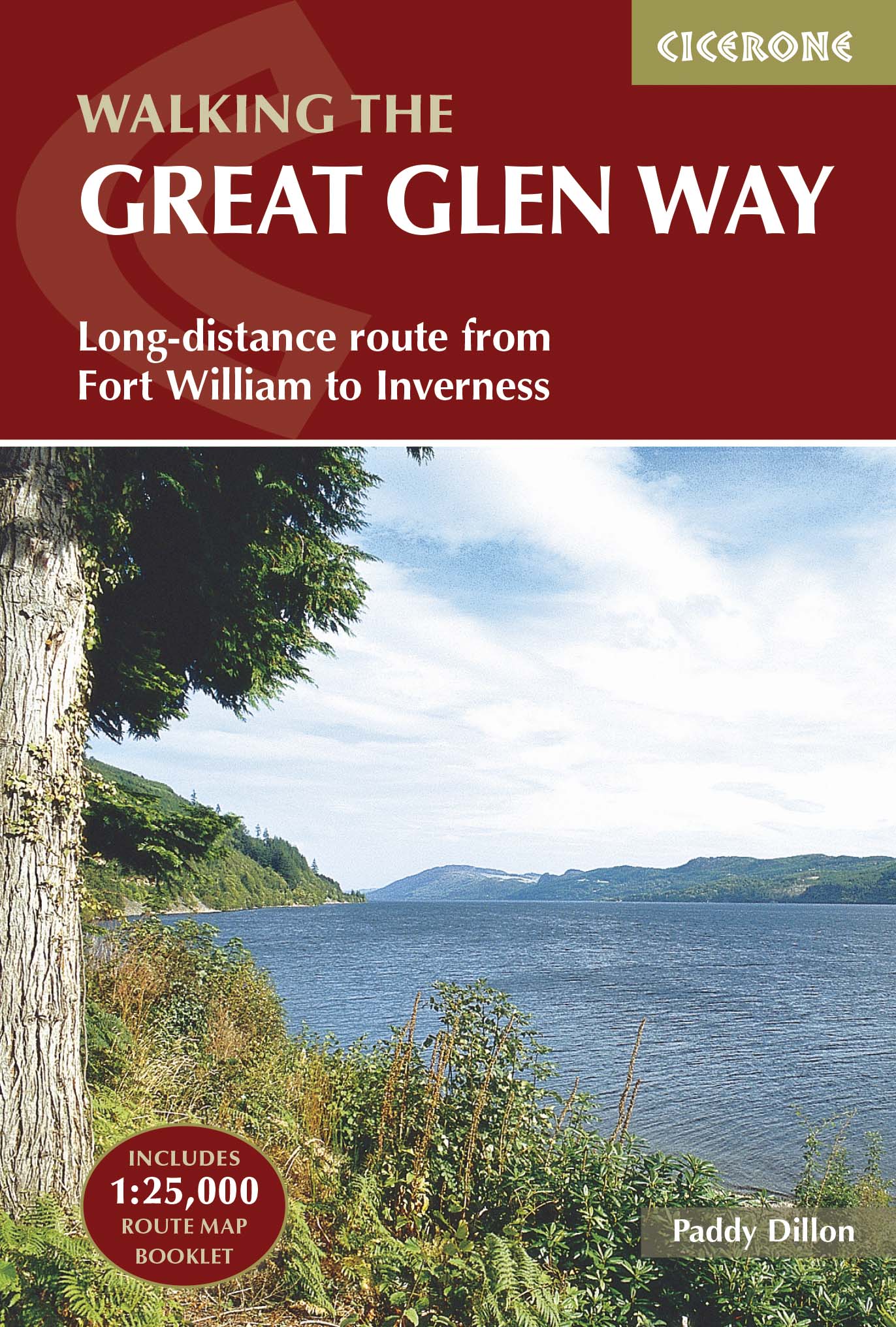
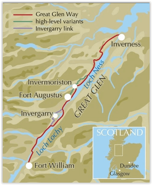
Productomschrijving: Wandelgids over de Great Glen way, een 90km lange National trail langs het kanaal van Caledonia van Fort William naar Inverness. Gemakkelijk af te lopen binnen een week in alle seizoenen, de route van de Great Glen way is een ideale introductie tot lange afstand wandelen in Schotland. De route is beschreven in beide richtingen.
Productdescription: Guidebook to walking the Great Glen Way, a 79 mile National Trail along the Caledonia Canal from Fort William to Inverness. Easily walked within a week in all seasons, the Great Glen Way is an ideal introduction to long-distance walking in Scotland. The route is described in both directions, and a separate OS 1:25K mapping booklet is included.
Product description: Guidebook to walking the Great Glen Way, a 79 mile National Trail along the Caledonia Canal from Fort William to Inverness. Easily walked within a week in all seasons, the Great Glen Way is an ideal introduction to long-distance walking in Scotland. The route is described in both directions, and a separate OS 1:25K mapping booklet is included.
Seasons:
Low-lying, so it is possible to walk the Great Glen Way at most times of year. Accommodation is often busy in summer, and midges are out! Daylight is short in winter and less accommodation is available.
Centres:
Inverness, Drumnadrochit, Invermoriston, Fort Augustus, North Laggan, Gairlochy, Fort William.
Difficulty:
The Great Glen Way is a 5-6 day low-level waymarked National Trail, with a range of facilities along the way. An ideal introduction to long-distance walking.
Must See:
Views of the highlands, fascinating clan history, Caledonian canal, wildlife (including, possibly, the Loch Ness monster).
Locatie op kaart
Artikelen uit dezelfde regio
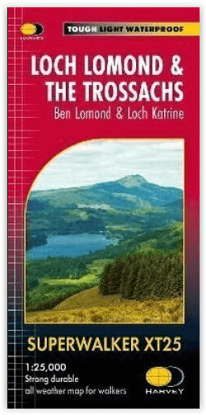
Wandelkaart XT25 Loch Lomond & The Trossachs - Harvey maps • 9781851376445
Loch Lomond & The Trossachs - Harvey maps Productomschrijving: Ideaal om het ganse gebied van de Great Trossachs Forest en Queen Elizabeth Forest Park te ontdekken. Er gaat niets boven een Schots nationaal park. Omvat: Ben Vorlich, Ben Ledi en Ben Venue - 7 Munros, 7 Corbetts en 6 Grahams - Lichtgewicht, gedetailleerd, duidelijk en makkelijk te lezen - Geprint op sterk, 100% wa…
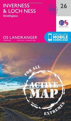
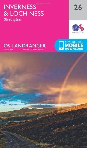
Wandelkaart 26 Inverness & Loch Ness Schotland - OSI • 9780319473498
Wandelkaart Inverness & Loch Ness - Schotland Productbeschrijving: Kaart nummer 26 in de OS Landranger kaarten reeks, is de ideale kaart voor de planning van excursies en vakanties in het Noord Oosten van Schotland. Ontdek het beroemde Loch Ness, en neem de Great Glen way van Inverness te voet. Andere plaatsen in de kaart opgenomen zijn Dingwall, Beauly Firth, Strathglass en Balmacaan Fore…
Wandelkaart 26 Inverness & Loch Ness- Schotland - OSI • 9780319261248
Wandelkaart Inverness & Loch Ness - Highland's Schotland Productbeschrijving: Kaart nummer 26 in de OS Landranger kaarten reeks is de ideale kaart voor planning dag excursies en vakanties in het Noord Oosten van Schotland. Ontdek de beroemde Loch Ness, en de Great Glen way van Inverness. Andere plaatsen op de kaart opgenomen zijn Dingwall, Beauly Firth, Strathglass en Balmacaan Forest. …
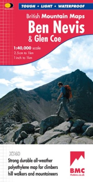
Wandelkaart Ben Nevis and Glen Coe Schotland - Harvey maps • 9781851374434
Wandelkaart Ben Nevis and Glen Coe Schotland - Harvey maps Productomschrijving: Verbluffende nieuwe kaart van Ben Nevis en Glen Coe bergen. "Deze uitstekende Ben Nevis en Glen Coe kaart biedt alle details die nodig zijn voor de veilige navigatie op deze iconische bergen". Afgedrukt op polyethyleen - duurzaam, scheurbestendig en 100% waterdicht. Gemaakt in samenwerking met de British Counci…
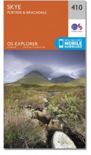
Wandelkaart 410 Isle of Skye Portree & Bracadale - OSI • 9780319246450
Wandelkaart Isle of Skye - Portree & Bracadale Schotland Productbeschrijving: Kaart nummer 410 in de OS Explorer kaarten reeks is de perfecte kaart om te gebruiken bij een bezoek aan "The Isle of Skye". Het eiland is een geweldige locatie voor een ontspannen vakantie of voor een actieve vakantie voor fietsers, wandelaars en outdoor enthousiastelingen. Hoogtepunten van het gebied zijn onder…