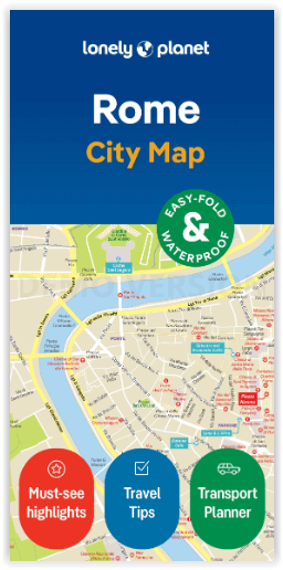
Rome city map - Lonely Planet
Borgo- Campitelli- Campo Marzio- Castro Pretorio- Colonna
Korte omschrijving
Stadplan Rome van Lonely Planet Productomschrijving: De Lonely Planet Rome City Map is duurzaam en waterbestendig, heeft een handige hoes en een makkelijk te vouwen formaat en is je paspoort...

Specificaties
- Uitgever: Lonely Planet Publications
- ISBN-13: 9781787016361
- Regio: Latium, Italië
- Land: Italië
- Afmeting: 9x18
- Editie: 2
- Taal: Engels
Volledige omschrijving
Stadplan Rome van Lonely Planet
Productomschrijving: De Lonely Planet Rome City Map is duurzaam en waterbestendig, heeft een handige hoes en een makkelijk te vouwen formaat en is je paspoort op handig formaat om met gemak te reizen.
Haal meer uit je kaart en je reis met afbeeldingen en informatie over topattracties in de stad, vervoerskaarten, routesuggesties, uitgebreide straten- en site-index en praktische reistips en -gids. Met dit gebruiksvriendelijke, full colour navigatiehulpmiddel in je achterzak kun je echt doordringen tot het hart van Rome, dus begin je reis nu!
Omvat: Borgo, Campitelli, Campo Marzio, Castro Pretorio, Colonna, Esquilino, Gianicolo, Monti, Parione, Pigna, Ponte, Prati, Regola, Salario, Sallustiano, San Giovanni, Sant’Angelo, Sant’Eustachio, Trastevere, Trevi, Tridente, Vatican City, Villa Borghese.
Engelse omschrijving: Durable and waterproof, with a handy slipcase and an easy-fold format, Lonely Planet Rome City Map is your conveniently-sized passport to traveling with ease.
Get more from your map and your trip with images and information about top city attractions, transport maps, itinerary suggestions, extensive street and site index, and practical travel tips and directory. With this easy-to-use, full colour navigation tool in your back pocket, you can truly get to the heart of Rome, so begin your journey now!
- Durable and waterproof
- Easy-fold format and convenient size
- Handy slipcase
- Full colour and easy-to-use
- Extensive street and site index
- Images and information about top city attractions
- Handy transport maps
- Practical travel tips and directory
- Itinerary suggestions
Full Map Dimensions: 62.9 cm x 49.5 cm (24.5 in. x 19.5 in.)
Locatie op kaart
Artikelen uit dezelfde regio

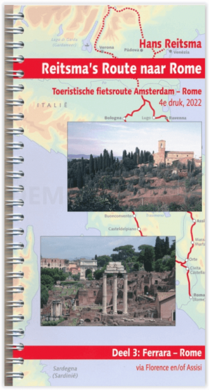
Fietsgids Reitsma's Route naar Rome DEEL 3 - Pirola • 9789064559242
Reitsma's Route naar Rome - DEEL 3 - Pirola Productomschrijving: Reitsma's Route naar Rome loopt door mooie, afwisselende landschappen en passeert sfeervolle oude steden en stadjes. Zo komt u in Duitsland onder meer langs het meest romantische deel van de Rijn (Koblenz-Bingen), Heidelberg, Tübingen en de Bodensee, in Oostenrijk door de Alpen en in Italië langs Trento, Bologna, Florence en …


