
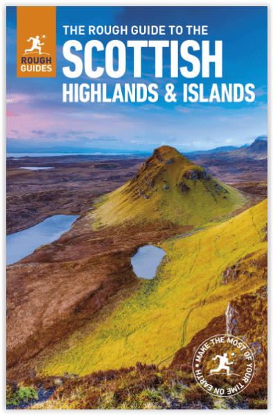
Reisgids Scottish Highlands & Islands - Rough guides
A fully updated The Rough Guide to Scottish Highlands
Korte omschrijving
Scottish Highlands & Islands - Rough guides Product description: This fully updated The Rough Guide to Scottish Highlands and Islands is the ultimate guidebook to the captivating remote reac...

Specificaties
- Uitgever: Rough Guides
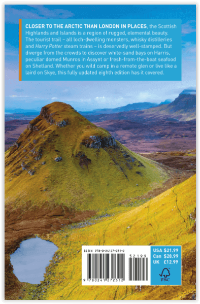
- ISBN-13: 9780241272312
- HOOFDCATEGORIEËN: Reisgids
- Activiteiten: Toerisme
- Regio: Highlands, Schotland, Inner hybrids (Binnen-Hebriden), Schotland, Outer Hibrids, Schetland Islands, Schotland
- Land: Schotland
- Blz.: 440
- Afmeting: 13x20
- Editie: 8
- Taal: Engels
Volledige omschrijving
Scottish Highlands & Islands - Rough guides
Product description: This fully updated The Rough Guide to Scottish Highlands and Islands is the ultimate guidebook to the captivating remote reaches of Scotland. From the divine seafood offerings at Loch Fyne to the whisky distilleries on Islay, this is a place for indulging. It’s also a hotspot for outdoor activities, whether you decide to bag a Munro or two, hop onto a mountain bike or stroll along deserted (if blustery) golden beaches.
The Rough Guide to Scottish Highlands and Islands contains more information than ever on where to go and what to see in this part of Scotland, with practical information on everything from events listings to transport logistics. There’s also coverage of the brand new North Coast 500 route, which loops around the northernmost reaches of the country.
From Skye’s breathtaking Cuillin ridge to abandoned castles, via riproaring unplanned ceilidhs, this stark and weather beaten part of the planet will not disappoint.
Locatie op kaart
Artikelen uit dezelfde regio

Wandelkaart Fietskaart Affric Kintail Way - Harvey maps • 9781851375530
Wandelkaart - Fietskaart Affric Kintail Way - Harvey maps Productomschrijving: De "Afric Kintail Way" is een prachtige cross-country route voor wandelaars, mountainbikers en ruiters, die voor bijna 44 mijl loopt, van "Drumnadrochit" tot aan de "Loch Ness" bij "Morvic" in de "Kintail" door tot "Loch Duich". Het pad is in de nabijheid van de Great Glen bij Drumnadrochit, en biedt de reizige…

Wandelkaart 61 Jura & Colonsay - Inner Hybrids - OSI • 9780319473849
Wandelkaart Jura & Colonsay - Inner Hybrids Schotland Productbeschrijving: OS Landranger kaart 61 toont de eilanden Jura en Colonsay in de Binnen-Hebriden aan de westkust van Schotland, evenals een deel van het eiland Islay. De Paps Jura zijn drie heuvels, tot 785m hoog, die het zuidelijke deel van het eiland domineren, met meerdere routes naar een of meer van de pieken. U kunt ook tijd ui…

Wandelkaart Torridon & remote Fisherfield Hills - Harvey maps • 9781851375042
Wandelkaart Torridon & remote Fisherfield Hills - HArvey Maps Productomschrijving: De reuzen van Torridon en de externe heuvels van Fisherfield op één plan op schaal 1:40.000 schaal. Het gebied van de kaart bevat 18 Munros en 12 Corbetts. Met uitbreidingen op 1:15.000 schaal van Teallach, Beinn Alligin, Beinn Eighe en Liathach op de achterzijde. Nieuwe generatie HARVEY Superwalker, XT2…

Wandelgids The Hebrides - Cicerone • 9781852847050
Wandelgids - The Hebrides - Cicerone Productomschrijving: Inspirerende gids over 50 gevarieerde wandel- en trekkingsroutes in de Hebriden, met klassiekers zoals de Skye Cuillin en de Paps van de Jura, maar ook veel minderbekende routes zoals Jura, Scarba, Islay, Colonsay, Rum, Eigg, Canna, Muck, Coll, Tiree, Mull, Skye, Raasay, Harris, Lewis, Berneray, North Uist, South Uist, Barra en St K…

Wandelkaart 441 Lairg- Bonar Bridge & Golspie- Schotland • 9780319246849
Wandelkaart Lairg- Bonar Bridge & Golspie - Highland Schotland Productbeschrijving: Dornoch & Brora. Aan de Moray Firth toont OS Explorer kaart 441, Omvat de route van Brora naar Dornoch en het binnenland van Lairg te Bonar Bridge. Ga op verkenning rond Loch Fleet en Loch Brora of volg de rivier van Loch Shin naar Kyle of Sutherland. De OS Explorer kaart voor Lairg, Bonar Bridge & Gols…