
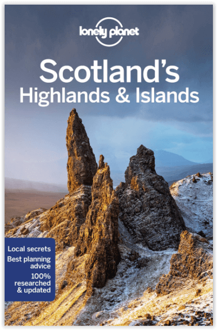
Reisgids Schotland's Highlands & Islands - Lonely Planet
The hills and glens and wild coastline of Schotland
Korte omschrijving
Schotland's Highlands & Islands - Lonely Planet Productomschrijving: The hills and glens and wild coastline of Scotland’s Highlands and islands offer the ultimate escape – one of the last co...

Specificaties
- Uitgever: Lonely Planet Publications
- ISBN-13: 9781787016439
- HOOFDCATEGORIEËN: Reisgids
- Activiteiten: Toerisme
- Auteur: Andy Symington, Neil Wilson
- Regio: Highlands, Schotland
- Land: Schotland
- Blz.: 320
- Afmeting: 13x20
- Editie: 5
- Taal: Engels
Volledige omschrijving
Schotland's Highlands & Islands - Lonely Planet
Productomschrijving: The hills and glens and wild coastline of Scotland’s Highlands and islands offer the ultimate escape – one of the last corners of Europe where you can discover genuine solitude.
Lonely Planet will get you to the heart of Scotland’s Highlands & Islands, with amazing travel experiences and the best planning advice:
- Inspirational images, city walks and recommendations from our expert
- Planning features and top itineraries to help you plan the perfect trip
- Local secrets and hidden travel gems that will make your trip unique
- Plus castles, lochs & mountains, walks, road trips & scenic drives and outdoor activities
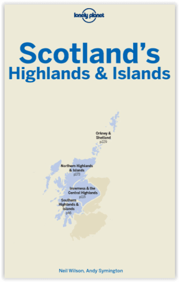
Coverage includes: Southern Highlands & Islands, Walking the West Highland Way, Central Highlands, The Great Glen & Lochaber, Skye & The Western Isles, Northwest Highlands, Orkney Islands, Shetland Islands
Locatie op kaart
Artikelen uit dezelfde regio

Wandelkaart 443 Ben Kilbreck- Ben Armine - Schotland - OSI • 9780319246863
Wandelkaart Ben Kilbreck- Ben Armine - Highlands Schotland Productbeschrijving: 443 / Ben Kilbreck, Ben Armine, Highlands, Schotland - OS Explorer kaart blad 443 toont de Munro Meall nan Con, Ben Klibreck, Loch Choire en Loch Shin.Toegang via de A836 aan de westzijde van de kaart - alleen onopgemaakte sporen en voetpaden hulpen u verder. De OS Explorer kaart voor Ben Klibreck & Ben Arm…

Wandelkaart 16 Lairg & Loch Shin Highland's Schotland - OSI • 9780319261149
Wandelkaart Lairg & Loch Shin - Highland's Schotland Productbeschrijving: OS Landranger kaart 16 toont het gebied rondom Loch Shin en Loch Naver, met inbegrip van Lairg en Oykel Bridge. Er valt ook een fietsroute langs de schilderachtige A836 te vinden, of u kunt een bezoek brengen aan de watervallen van Shin. De OS Landranger kaarten reeks heeft betrekking op Groot-Brittannië met 204…

Wandelkaart 57 Stirling & The Trossachs NP - Highland's - OSI • 9780319473801
Wandelkaart Stirling & the Trossachs NP Highland's Schotland Productbeschrijving: OS Landranger kaart 57 omvat Stirling & The Trossachs alsook Ben Vorlich, Mor Bheinn, Ling Hill, Ben Ledi, Venachar Loch, Loch Katrine, Loch Ard evenals deel van de Loch Lomond en de Trossachs nationaal park. Stirling en zijn kasteel zij zeker een bezoekje waard, terwijl het nabijgelegen Wallace Monument een …

Wandelkaart 413 Knoydart Loch Houm Schotland - OSI • 9780319472682
Wandelkaart Knoydart- Loch Houm - Highland's Schotland Omvat ook: Kyle of Lochalsh. Productbeschrijving: Explorer kaart 413 omvat de regio Kyle of Lochalsh tot Inverie, deze ruige kustlijn nodigt u uit voor ontdekking. Met 4 van de Munros en diverse andere belangrijke toppen, naast twee nationale natuurgebieden is het een populaire regio voor het ondekken van de schotse hooglanden. De …

Wandelkaart 51 Loch Tay & Glen Dochart Highland's - OSI • 9780319261491
Wandelkaart Loch Tay & Glen Dochart - Highland's Schotland Productbeschrijving: Glen Dochart is een brede en rustige glen waar mensen komen om te vissen, te golfen en wandelen in het prachtige Schotse landschap. Het strekt zich uit van Loch Lyon in het westen tot Loch Tay in het Oosten. De kaart OS Landranger 51 omvat ook de Tay Forest Park, Loch Lednock Reservoir, Loch Voil, Glen Lyon, Be…