
Reisgids Normandy - Top 10 - DK Eyewitness
Rouen cathedral - Etretat - Mont-St-Michel - D-Day beaches

Korte omschrijving
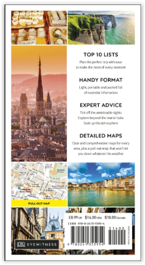
DK Eyewitness Normandy Omvat: Northwestern Normandy, Central Normandy, Southwestern Normandy, Southern Normandy. Productomschrijving: Verken de kathedraal van Rouen, breng tijd door in ...

Specificaties
- Uitgever: Dorling Kindersley Limited
- ISBN-13: 9780241355954
- HOOFDCATEGORIEËN: Reisgids
- Activiteiten: Toerisme
- Regio: Normandië, Frankrijk
- Land: Frankrijk
- Blz.: 144
- Afmeting: 11x19
- Taal: Engels
- Reeks: Eyewitness, Dorling Kingsley, TOP 10 - Eyewitness
Volledige omschrijving
DK Eyewitness Normandy
Omvat: Northwestern Normandy, Central Normandy, Southwestern Normandy, Southern Normandy.
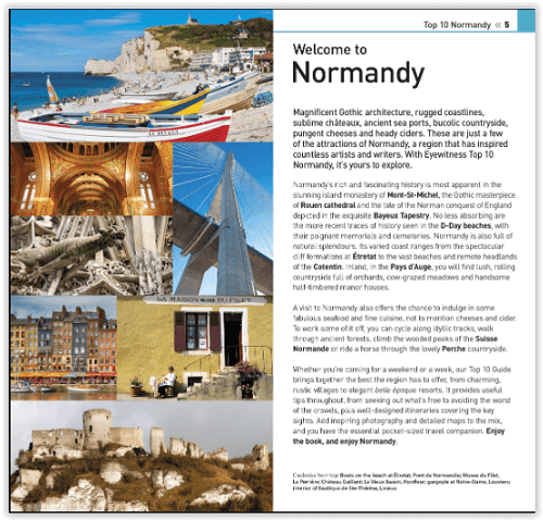
Productomschrijving: Verken de kathedraal van Rouen, breng tijd door in de badplaats Etretat, bezoek de eilandgemeente Mont-St-Michel, bekijk de D-Day stranden of ga terug naar de natuur in de heuvels van Suisse Normande. Van Top 10 restaurants tot de Top 10 natuurgebieden - deze gebruiksvriendelijke reisgids staat boordevol informatie om u het allerbeste van Normandië te laten ontdekken.
Engelse omschrijving: Explore Rouen cathedral, spend time at the seaside resort of Etretat, visit the island commune of Mont-St-Michel, see the D-Day beaches or get back to nature in the hills of Suisse Normande. From Top 10 restaurants to the Top 10 areas of natural beauty - this easy-to-use travel guide is packed with information to help you discover the very best of Normandy.
Inside Top 10 Normandy:
- Seven easy-to-follow itineraries, perfect for a day trip, a weekend or a week
- Top 10 lists showcase Normandy's best attractions, covering Mont-St-Michel, Pays d'Auge, Rouen, Etretat and many more
- Free laminated pull-out map of Normandy, plus five colour neighbourhood maps
- In-depth neighbourhood guides explore Normandy's most interesting areas, with the best places for shopping, going out and sightseeing
- Colour-coded chapters divided by area make it easy to find information quickly and plan your day
- Essential travel tips including our expert choices of where to stay, eat, shop and sightsee, plus useful transport, visa and health information
- Colour maps help you navigate with ease.
Locatie op kaart
Artikelen uit dezelfde regio

Wandelkaart 1812 SB Brionne - Cormeilles - IGN • 9782758552642
Wandelkaart Brionne - Cormeilles - IGN Productomschrijving: Brionne & Cormeilles zijn gemeentes in het Franse departement Eure in de regio Normandië. De plaatsen maken deel uit van het arrondissement Bernay. Omvat: Brionne, Cormeilles, Le Mesnil-Saint-Jean, Malouy, Fort-Moville, Martainville, Nassandres sur Risle, Barville, Livet-sur-Authou, Saint-Pierre-des-Ifs, Thiberville, Noards, …

Wandelkaart 2108 OT Forêt d'Eu & Blangy-sur-Bresle - IGN • 9782758543404
TOPO Wandelkaart Forêt d'Eu & Blangy-sur-Bresle - IGN Productomschrijving: Blangy-sur-Bresle is een gemeente in het Franse departement Seine-Maritime in de regio Normandië. De plaats maakt deel uit van het arrondissement Dieppe. In de gemeente ligt spoorwegstation Blangy-sur-Bresle. Een gloed nieuwe reeks IGN kaarten: de oude versies met de Est en Ouest (E en O aanduiding achter het nu…

Wandelkaart 2107 OT St-Valery-sur-Somme & Baie de Somme - IGN • 9782758555414
Wandelkaart St-Valery-sur-Somme & Baie de Somme - IGN Productomschrijving: Deze kaart omvat de Baai van de Somme, en een groot stuk van de naastgelegen kustgebieden. Het ganse gebied ligt in het Parc naturèl régional de baie de somme picardie maritime. Omvat: Le Tréport, Saint-Valery-sur-Somme, Friaucourt, Fressenneville, Méneslies, Buigny-lès-Gamaches, Flocques, Tully, Yzengremer, Och…

Wandelgids Autour de l'estuaire de la Seine - Ed. Ouest-france • 9782737386473
Autour de l'estuaire de la Seine - Ouest-france Productomschrijving: Van Livarot in het Pays d'Auge (Calvados) tot Etretat (Seine-Maritime) via Aizier (Eure), al het moois van de monding van de Seine, tussen de zee, de rivier en het platteland 30 gezinswandelingen om te genieten van de gevarieerde landschappen Een algemene kaart en een gedetailleerde kaart voor elke wandeling voor het comf…
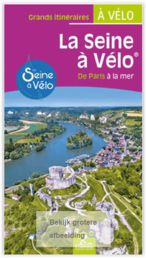
Fietsgids Seine à vélo de Paris à la mer - Chamina • 9782844665102
Fietsgids - Seine à vélo de Paris à la mer Productomschrijving: Een lange route die je vanuit de hoofdstad in 22 etappes langs de rivier naar de Normandische kust brengt om Le Havre (430 km) of Deauville (465 km) te bereiken. De route doorkruist belangrijke locaties, zoals de kanalen en lussen van de Seine, de steden Mantes-la-Jolie, Roche-Guyon en het pittoreske Giverny, het regionale nat…