
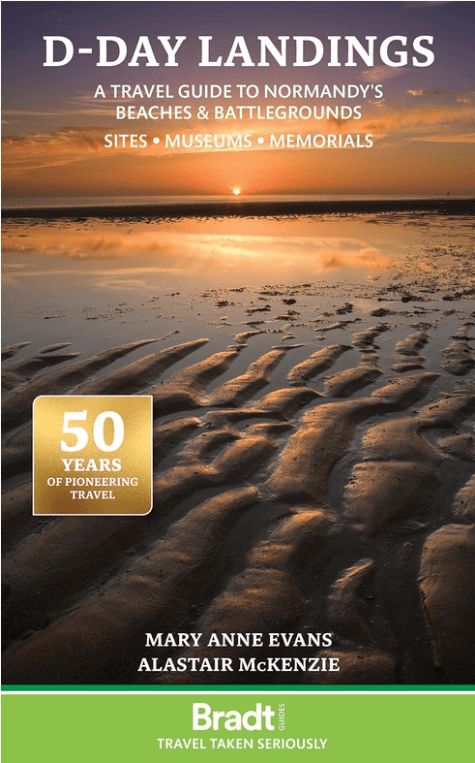
Reisgids D-Day Landings Normandie - Bradt
A Travel Guide to Normandy's Beaches and Battlegrounds
Korte omschrijving
D-Day Landings Normandie - Bradt Productomschrijving: D-Day Landings: a Travel Guide to Normandy's Beaches and Battlegrounds, uitgegeven ter ere van de 80e verjaardag van de militaire missie...

Specificaties
- Uitgever: Bradt guides
- ISBN-13: 9781804691700
- Auteur: Alastair McKenzie, Mary Anne Evans
- Regio: Normandië, Frankrijk
- Land: Frankrijk
- Blz.: 136
- Afmeting: 14x22
- Editie: 1
- Taal: Engels
Volledige omschrijving
D-Day Landings Normandie - Bradt
Productomschrijving: D-Day Landings: a Travel Guide to Normandy's Beaches and Battlegrounds, uitgegeven ter ere van de 80e verjaardag van de militaire missie die de Tweede Wereldoorlog veranderde, is Bradts nieuwe gids voor het bezoeken van stranden, gedenktekens, musea, slagvelden en andere sites die verband houden met D-Day en de Slag om Normandië (Operatie Overlord). Het is een eenvoudig te volgen, draagbare gids voor onafhankelijke reizigers en bevat kaarten en rij-instructies om bezoekers te helpen terug te gaan in de tijd en de geschiedenis van de Tweede Wereldoorlog te verkennen.
Engelse omschrijving: Published to commemorate the 80th anniversary of the military mission that changed World War II, D-Day Landings: a Travel Guide to Normandy’s Beaches and Battlegrounds is Bradt’s new guidebook to visiting beaches, memorials, museums, battlefields and other sites associated with D-Day and the Battle of Normandy (Operation Overlord). A simple-to-follow, portable guide for independent travellers, it includes maps and driving instructions to help visitors go back in time to explore World War II history.
Written by two experienced travel writers who, between them, are experts in France and military history, D-Day Landings is designed for visitors who want to see all or part of Normandy. Covering the ground from the D-Day landing beaches (Sword, Juno, Gold, Omaha and Utah) up to the Falaise Gap and Cherbourg, it encompasses both every major site and a host of smaller, less well-known locations – venturing well beyond the coast to include sites associated with the capture of Cherbourg (D+20) and the closing of the Falaise Gap (D+76), which marked the end of the Overlord campaign.
Although organised geographically – as befits a travel guide rather than history book – a colour-coded system helps readers understand the historical context by identifying where sites fit into the timeline of the Battle of Normandy and escorting readers through the invasion in a simple, practical format. D-Day Landings aims to enhance the visitor experience by alerting readers to unexpected features such as a ‘concrete panzer’ pillbox topped by a tank turret around which Utah Beach Museum was constructed.
Quirky snippets and human stories colour the text. Learn how Lord Lovat’s Commando Piper Bill saw himself as a ballerina or how the Utah Beach landings were accidentally more successful than planned. Meanwhile, children and adults alike will love the ‘history-spotter’ tick-boxes, such as ten Advanced Landing Ground site plaques to tick off. Whether you are a military-history enthusiast, have family who fought in Normandy or are simply visiting northern France on holiday, Bradt’s D-Day Landings is the guidebook to both plan your trip and take with you.
Artikelen uit dezelfde regio
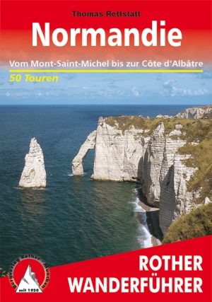
Wandelgids Normandie- Mont-St-Michel bis Côte d'Albâtre - Rother • 9783763343515
Wandelgids Normandie - Mont-St-Michel bis Côte d'Albâtre - Rother Productomschrijving: Normandie, het voormalige land van de Noormannen en Vikingen, wordt vooral beïnvloed door de zee. Namen zoals "Alabaster Kust", "Côte de Nacre" en "Flower Kust" belooft een unieke kustlandschap. Mooie, uitgestrekte zandstranden, glooiende duinen en kwelders afgewisseld met wilde en romantische kliffen, h…

Wandelkaart 1915 SB Verneuil-sur-Avre & Bourth - IGN • 9782758533993
Wandelkaart 1915 SB - Verneuil-sur-Avre & Bourth Productomschrijving: Deze topografische kaarten hebben een zeer nauwkeurige gronddetail, niet te vergeten de topografische hoogteprofielen, die het wandelen een stuk gemakkelijker maken. Verneuil-sur-Avre is een gemeente in het Franse departement Eure (regio Haute-Normandie). De plaats maakt deel uit van het arrondissement Évreux. Desci…

Wandelgids l'Eure à pied- 45 circuits à pied - FFR • 9782751410246
Wandelgids D027 - l'Eure à pied- 45 circuits à pied Productomschrijving: Dit departement bestaan grotendeels uit de prachitge valleien van de l'Eure, de Risle en de l'Iton. Zonder de grandiose perspectieven mee te tellen van de Coteaux crayaux van de Seine gedomineerd door het kasteel Château Gaillard. Het omvat het departement die het meest bebost is van alle andere, en één met een hoog c…

Reisgids Normandië & Bretagne - Gottmer Uitgevers groep • 9789025778286
Reisgids Normandië & Bretagne - Gottmer Productomschrijving: Normandië en Bretagne behoren al jarenlang tot de toppers onder de vakantiebestemmingen, en terecht. Er is ongelofelijk veel te zien en te beleven. De natuur langs de schitterende kusten en landinwaarts biedt allerlei vertier, maar ook weldadige rust met geheimzinnige bossen, ruige heuveltoppen en golvende weilanden. Er zijn mere…
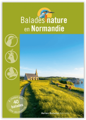
Wandelgids Balades nature en Normandie - BB Editions • 9782846404853
Balades nature en Normandie - Belle Balades Productomschrijving: Waar is het koninkrijk van de wilde orchideeën? Hoe kijk je naar het gebrul van een grote hert? Waar komt de naam Pays d'Auge vandaan? Waarom worden irissen geplant op de daken van traditionele Normandische huizen? In deze gids vind je het antwoord op al deze vragen ... en nog veel meer! Franse omschrijving: Où se trouve …