
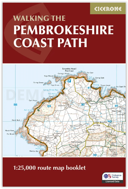
Map Nooklet Pembrokeshire Coast Path - Cicerone
Tenby- Stackpole Quay- Freshwater- Pembroke- Milford Haven- Dale
Korte omschrijving
Pembrokeshire Coast Path - Cicerone Productomschrijving: OPGELET: Dit art. zit standard inbegrepen in de wandelgids van de route zelf. Pembrokeshire Coast Path National Trail, van 291 km lan...

Specificaties
- Uitgever: CICERONE Press
- ISBN-13: 9781786312099
- HOOFDCATEGORIEËN: Wandelgids
- Activiteiten: Wandelen, Hiking & Trekking
- Auteur: Dennis Kelsall, Jan Kelsall
- Regio: Pembrokeshire, Wales
- Nationale parken: Pembrokeshire Coast NP, Wales
- Blz.: 80
- Schaal: 1:25000
- Afmeting: 12x17
- Editie: 2
- Taal: Engels
- Reeks: National Trails, UK
Volledige omschrijving
Pembrokeshire Coast Path - Cicerone
Productomschrijving: OPGELET: Dit art. zit standard inbegrepen in de wandelgids van de route zelf. Pembrokeshire Coast Path National Trail, van 291 km langs de kust van de regio Pembrokeshire NP wales. Deze omvat de kaartjes boekje voor de route.
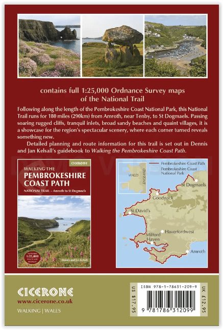
Engelse omschrijving: Map of the 182 mile (291km) Pembrokeshire Coast Path National Trail, between Amroth and St Dogmaels. This booklet is included with the Cicerone guidebook to the trail, and shows the full route on OS 1:25,000 maps. The route typically takes 2 weeks to walk, and is suitable for walkers at all levels of experience.
Seasons:
The Pembrokeshire Coastal Path can be walked throughout the year. Accommodation may be more scarce in the winter months, but avoid high summer as it will be even more difficult to find.
Centres:
Tenby, Stackpole Quay, Freshwater, Pembroke, Milford Haven, Dale, St Brides, Newgale Sands, St David's, Whitesands Bay, Aber Castle, Strumble Head, Goodwick, Fishguard, Newport.
Difficulty:
Straightforward walking, although the route does amount to an overall ascent of 30,000 feet.
Must See:
Outstanding coastal views, birdwatching and sea wildlife, unspoilt landscape (with the exception of Milford Haven and Fishguard), generally mild climate.

Gekoppelde artikelen

Wandelgids Pembrokeshire Coast Path - Cicerone • 9781786312082
standaard versiePembrokeshire Coast Path - Cicerone Productomschrijving: Deze nieuwe gids omvat de Pembrokeshire Coast Path National Trail, een 291 km lange kust wandelroute langs het befaamde Pembrokeshire Coastline in Wales. Omvat: St-Dogmaels, Goodwick, St-David's, Milford Haven, Amroth. Engelse omschrijving: This guidebook describes the Pembrokeshire Coast Path National Trail. The scenic 180 …
Artikelen uit dezelfde regio

Wandelkaart 158 Tenby & Pembroke - Wales - OSI • 9780319262566
Wandelkaart Tenby & Pembroke in Wales Productbeschrijving: Deze OS Landranger kaart 158 van Tenby & Pembroke omvat ook Kilgetty, Freystrop, Yerbeston, Milford Haven, Wolfsdale, Llandissilio, het Nationaal Park van Pembrokeshire Coast en de Pembrokeshire Coast Path. De OS Landranger kaarten reeks heeft betrekking op Groot-Brittannië met 204 gedetailleerde kaarten, perfect voor dagtochten e…

Wandelkaart XT40 Wales Coast Path 3 - Cardigan to LIanelli • 9781851376629
Wandelkaart Wales Coast Path 3 - Cardigan to LIanelli Productomschrijving: Het officiële pad is 300 kilometer, oftewel 186 mijl, en loopt van Amroth naar St. Dogmaels. Het Pembrokeshire Coast Path is een onderdeel van het Wales Coast Path, dat 1400 kilometer, oftewel 870 mijl, lang is en de gehele kust van Wales passeert. Het Pembrokeshire Coast Path passeert 58 stranden en 14 havens. …

Fietskaart Pembrokeshire National Park - Goldeneye • 9781859651223
Fietskaart Pembrokeshire NP - West Wales - Goldeneye Productomschrijving: Pembrokeshire (Wels: Sir Benfro) is een bestuurlijk graafschap in het zuidwesten van Wales, gelegen in het ceremoniële behouden graafschap Dyfed. Een supergeschikte regio voor de fietser in het algemeen, rustig gelegen in de hoek van Wales. Het grenst in het oosten aan Carmarthenshire en in het noordoosten aan Ceredi…

Wandelkaart OL36 South Pembrokeshire- Wales - OSI • 9780319469545
Wandelkaart South Pembrokeshire - Wales Productbeschrijving: Kaart nummer OL36 is een all purpose kaart vol gepakt met informatie om u het gebied te helpen leren kennen. De kaarten bestrijken het land. Elke kaart heeft een oppervlakte van 40 km door 40 km (25 mijl door 25 mijl) en zoals andere kaarten van Ordnance Survey, National Grid-vierkanten worden verstrekt zodat elke functie een uni…

Wandelgids Park Rangers Favourite Walks Pembrokeshire - Collins • 9780008462734
Park Rangers Favourite Walks Pembrokeshire coast - Collins Productomschrijving: Wandelgids voor het Pembrokeshire Coast National Park, met 20 beste routes uitgekozen door de parkwachters. Elke wandeling varieert in lengte van 2 tot 10 km en kan worden voltooid in minder dan 4 uur. Engelse omschrijving: Walking guide to the Pembrokeshire Coast National Park, with 20 best routes chosen b…