
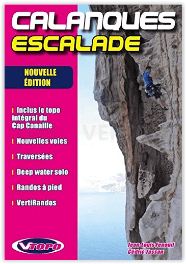
Klimgids Escalade Calanques NP - VTOPO
A French National park for real climbers
Korte omschrijving
Escalade Calanques NP - VTOPO Locations: Marseilleveyre, Les Goudes, Walkyries, Sormiou, Morgiou, Sugiton, Candelle, Val Vierge, Devenson, Eissadon, L’Oule, Castelvieil, En Vau, Cap Canaille...

Specificaties
- Uitgever: Vtopo
- ISBN-13: 9782916972251
- HOOFDCATEGORIEËN: Fietsgids
- Activiteiten: Klimmen & Alpinisme
- Auteur: Cédric Tassan, Jean-Louis Fenouil
- Regio: Provence-Alpes-Côte d’Azur
- Land: Frankrijk
- Nationale parken: Calanques PN, Marseille Frankrijk
- Blz.: 319
- Afmeting: 23x14
- Taal: Frans
Volledige omschrijving
Escalade Calanques NP - VTOPO
Locations: Marseilleveyre, Les Goudes, Walkyries, Sormiou, Morgiou, Sugiton, Candelle, Val Vierge, Devenson, Eissadon, L’Oule, Castelvieil, En Vau, Cap Canaille, Bec de l’Aigle
- Mandatory 6c maximum
- 1110 listed routes, of which 418 long routes and 15 traverses
- Aquatic climbing "Deep water soloing": 33 traverses
- 70 original watercolours, 200 photos
- New re-bolting, last routes, recent areas
- 22 treks, 10 VertiRandos, 2 complete traverses
- Geopositioning with aerial photos
Areas:
The selected division of Les Calanques is based on the road access, except for the Walkyries area. Here are the selected areas:
MARSEILLEVEYRE: only the places around the summit of Marseilleveyre and especially on the north slope, amongst the Grotte Rolland.
LES GOUDES: from Callelongue, it is one of the doors of the area.
WALKYRIES: it is the « isolated » part located east of the Col de Sormiou.
SORMIOU: all of the calanque, from its north slope, just near the city, to the Bec de Sormiou.
MORGIOU: rather like Sormiou. From civilisation to the deepest part of Cap Morgiou.
SUGITON / CANDELLE: gathers the areas from Luminy to the outskirts of the Concave.
GARDIOLE: every area for which the starting point is the car park of the Gardiole: Devenson, Castelvieil, En-Vau, etc.
CASSIS: from the city of Cassis, in the small valley of Port-Miou.
CAP CANAILLE: includes the large red rock cliff from Cassis to La Ciotat.
Locatie op kaart
Artikelen uit dezelfde regio

Wandelgids Entre Ste-Victoire & Ste-Baume - FFR • 9782751409059
TOPO Wandelgids - Entre Ste-Victoire & Ste-Baume Productomschrijving: Meer dan 15 dagen wandelplezier in een plaats niet zo ver verwijderd van Marseille. De omgeving is gekend voor zijn prachtige natuur. Franse omschrijving: Partez randonner sur ce nouveau sentier GR® de Pays "Sentier, Provence mines d´énergies" inauguré début décembre 2018.Vous cheminerez à travers le bassin minier de…

Wandelgids Guide rando Provence - Rother • 9783763349159
Guide rando Provence - 50 routes Franse omschrijving: La Provence – pays de la lumière et de la lavande – est une destination prisée non seulement par les amateurs de culture et les amoureux du soleil, mais aussi par les randonneurs. Ce guide, l’un des premiers consacré à la région située entre l’Ardèche et le Verdon, le Mont Ventoux et les Calanques, propose un éventail varié des possibil…

Wandelkaart TOP75 035 Provence - Ste-Victoire & Ste-Baume • 9782758531531
Wandelkaart Provence - Ste-Victoire & Ste-Baume - IGN Productomschrijving: IGN TOP75 kaarten zijn op maat gemaakt voor liefhebbers van outdoor activiteiten en liefhebbers van het culturele en historische erfgoed van onze regio's. Provence-Alpes-Côte d'Azur is een regio in het zuidoosten van Frankrijk. De regio omvat de departementen Alpes-de-Haute-Provence, Hautes-Alpes, Alpes-Maritimes, B…

Wandelgids Tours dans le Luberon et les Monts de Vaucluse - FFR • 9782751411526
Wandelgids 8401 - Tours dans le Luberon et les Monts de Vaucluse - FFR Productomschrijving: 6 wandel lussen van 2 tot 6 dagen om dit Geopark te af te leggen en te ontdekken, maar vooral om de twee Luberon en de Mont-du Vaucluses te waarderen. De Luberon PNR biedt een grote verscheidenheid aan landschappen, zoals het Claparèdes-plateau en zijn lavendelvelden, wijngaarden en truffelbome…

Wandelgids Champsaur Valgaudemar Dévoluy - Ed. Chamina • 9782844665935
Wandelgids Champsaur Valgaudemar - Ed. Chamina Productomschrijving: Ten zuidwesten van het massief van de Écrins onthullen de valleien van Champsaur en Valgaudemar de grandioze en wilde landschappen van de Hautes-Alpes. Meer naar het oosten, direct grenzend aan de Vercors, strekt het essentiële voor-alpiene massief van Dévoluy zijn kalkstenen toppen uit tussen de Trièves in het noorden en …