
Reisgids Scottish Highlands & Islands - Rough Guides
North Coast 500 route - Munro's - Cuillin ridge Isle of Skye
Korte omschrijving
Scottish Highlands & Islands - Rough Guides Productomschrijving: Deze volledig bijgewerkte The Rough Guide to Scottish Highlands and Islands is de ultieme gids voor de fascinerende uithoeken...

Specificaties
- Uitgever: Rough Guides
- ISBN-13: 9781839058639
- Regio: Highlands Noord, Schotland, Highlands, Schotland, Orkney Islands, Schotland, Schetland Islands, Schotland
- Land: Schotland
- Toepasselijke bergketen: Schotse Highlands, Schotland
- Blz.: 440
- Afmeting: 13x20
- Editie: 10
- Taal: Engels
Volledige omschrijving
Scottish Highlands & Islands - Rough Guides
Productomschrijving: Deze volledig bijgewerkte The Rough Guide to Scottish Highlands and Islands is de ultieme gids voor de fascinerende uithoeken van Schotland. Van de goddelijke visgerechten bij Loch Fyne tot de whiskystokerijen op Islay, dit is een plek om je te laten verwennen. Het is ook een hotspot voor buitenactiviteiten, of je nu besluit een Munro of twee te pakken, op een mountainbike stapt of langs verlaten (hoewel winderige) gouden stranden wandelt.
Engelse omschrijving: This fully updated The Rough Guide to Scottish Highlands and Islands is the ultimate guidebook to the captivating remote reaches of Scotland. From the divine seafood offerings at Loch Fyne to the whisky distilleries on Islay, this is a place for indulging. It’s also a hotspot for outdoor activities, whether you decide to bag a Munro or two, hop onto a mountain bike or stroll along deserted (if blustery) golden beaches.
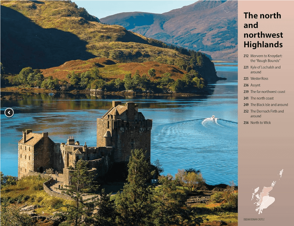
The Rough Guide to Scottish Highlands and Islands contains more information than ever on where to go and what to see in this part of Scotland, with practical information on everything from events listings to transport logistics. There’s also coverage of the brand new North Coast 500 route, which loops around the northernmost reaches of the country.
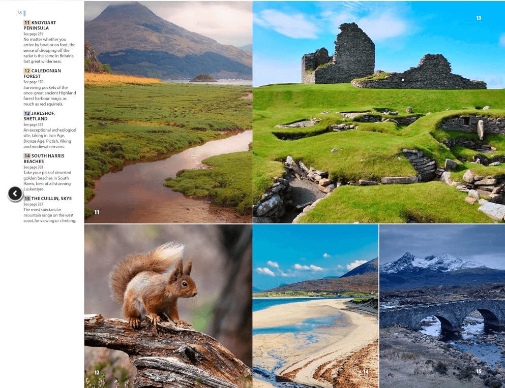
From Skye’s breathtaking Cuillin ridge to abandoned castles, via riproaring unplanned ceilidhs, this stark and weather beaten part of the planet will not disappoint.
Artikelen uit dezelfde regio

Wandelkaart 27 Nairn & Forres Highland's Schotland - OSI • 9780319261255
Wandelkaart Nairn & Forres - Highland's Schotland Productbeschrijving: OS Landranger kaart 27 toont de Moray Firth, net ten oosten van Inverness. De kust stad van Nairn is een populaire vakantiebestemming, of neem de Moray Coastal Trail langs Forres aan de Findhorn. De OS Landranger kaarten reeks heeft betrekking op Groot-Brittannië met 204 gedetailleerde kaarten, perfect voor dagtocht…

Wandelkaart 40 Mallaig & Glenfinnan- Highland's - OSI • 9780319473634
Wandelkaart Mallaig & Glenfinnan - Highland's Schotland Productbeschrijving: De haven van Mallaig ligt langs de beroemde weg naar de eilanden, en is een uitstekende uitvalsbasis om de hooglanden en Loch Morar vanuit te verkennen. Recht op de oevers van Loch Shiel is Glenfinnan, een klein maar mooie dorp met een prachtig landschap. De OS Landranger kaarten reeks heeft betrekking op Groo…

Wandelkaart 409 Raasay Rona & Scalpay Schotland - OSI • 9780319472644
Wandelkaart Raasay- Rona & Scalpay - Highland's Schotland Productbeschrijving: Kaart nummer 409 in de OS Explorer kaart reeks is ideaal voor het verkennen van de Isle of Skye, Raasay, Rona en Scalpay. Hoogtepunten van het gebied zijn onder andere: Dun Caan, Brochel castle, clear Hebridean waters, & The Storr. De OS Explorer kaart voor Raasay, Rona & Scalpay is beschikbaar in zowel de stand…

Wandelkaart 445 Foinaven Arkle Kylesku Schotland - OSI • 9780319472972
Wandelkaart Foinaven- Arkle- Kylesku - Highland's Schotland Productbeschrijving: OS Explorer kaart 445 toont, Foinaven, Arkle, Kylesku & Scourie in het uiterste noord-westen. Het omvat ook de nationale landschappelijke gebieden van North-West Sutherland Assynt-Coigach, Loch, Loch Laxford en The Minch. De OS Explorer kaart voor Foinaven, Arkle, Kylesku & Scourie is beschikbaar in zowel de s…

Wandelkaart 428 Kyle of Lochalsh Plockton & Applecross • 9780319246603
Wandelkaart Kyle of Lochalsh- Plockton & Applecross Productbeschrijving: Kyle of Lochalsh, Plockton & Applecross, Highlands Schotland. OS Explorer kaart 428 - Omvat de westelijke kant van de Wester Ross nationale Scenic Area. U kunt ook de ruige kustlijn en kleine dorpjes erkennen. De OS Explorer kaart voor Kyle van Lochalsh, Plockton & Applecross is beschikbaar in zowel de standaard …