
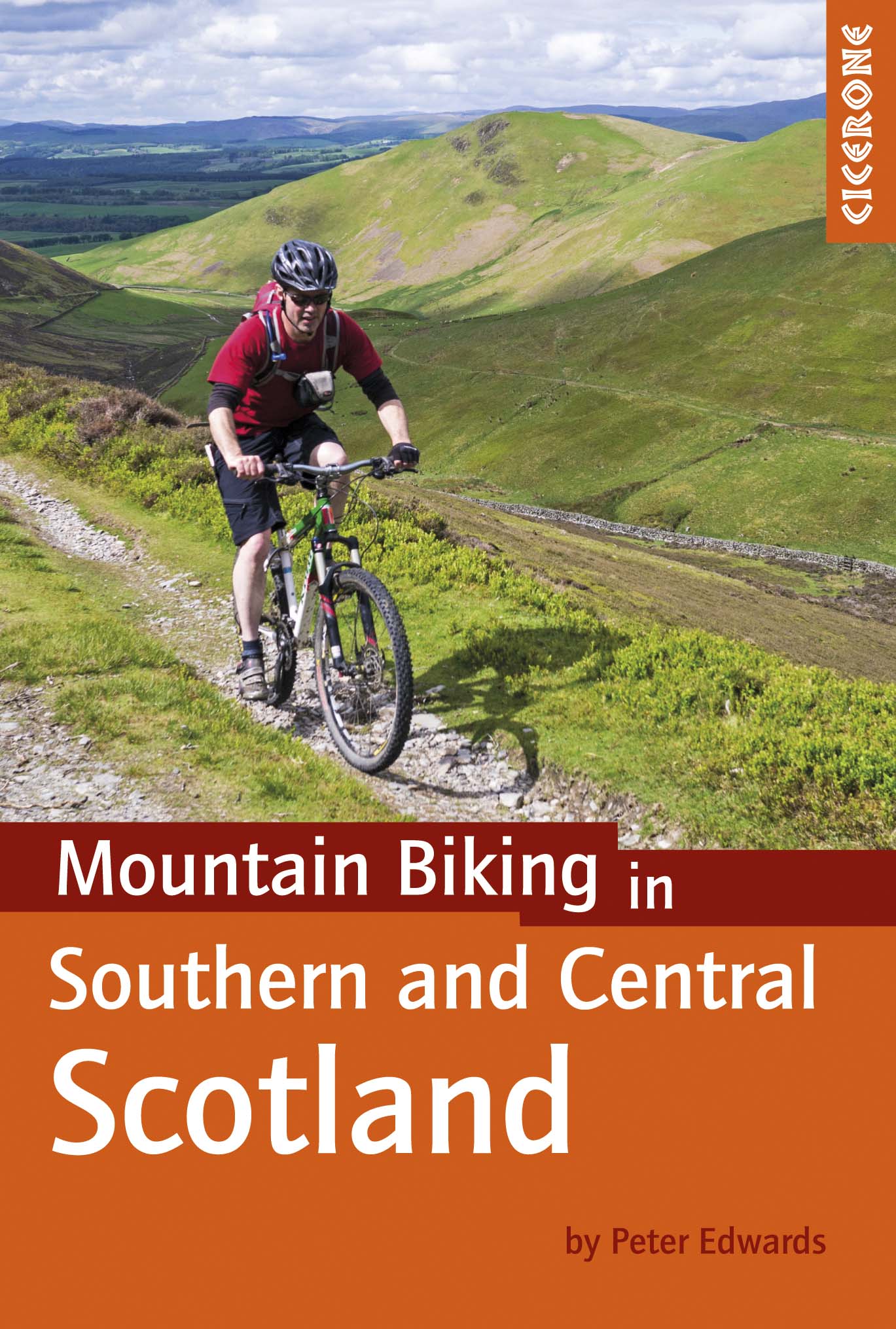
Mountainbikegids Southern & Central Schotland - Cicerone
Beschrijft 21 mountainbike fietsroutes in Midden- en Z. Schotland
Korte omschrijving
Mountainbikegids - Southern & Central Schotland - Cicerone Productomschrijving: Deze gids beschrijft 21 mountainbike fietsroutes in Midden- en Zuid-Schotland, met inbegrip van de 7 stanes in...

Specificaties
- Uitgever: CICERONE Press
- ISBN-13: 9781852847470
- HOOFDCATEGORIEËN: Fietsgids
- Activiteiten: Fietsen / VTT / MTB
- Regio: Highlands, Schotland
- Land: Schotland
- Blz.: 208
- Afmeting: 12x17
- Editie: 1
- Taal: Engels
Volledige omschrijving
Mountainbikegids - Southern & Central Schotland - Cicerone
Productomschrijving: Deze gids beschrijft 21 mountainbike fietsroutes in Midden- en Zuid-Schotland, met inbegrip van de 7 stanes in Dumfries and Galloway, en crosscountry-routes in de Campsie Fells, Pentland Hills en Lammermuirs, de Galloway Forest, Tweed Vallei, Cheviots en Lowther Hills. De routes variëren van 16,5 tot 66km ingedeeld van matig tot zeer zwaar.
Productdescription: This guidebook describes 21 mountain biking routes in central and southern Scotland, including the 7stanes in Dumfries and Galloway, and cross country routes in the Campsie Fells, Pentland Hills and Lammermuirs, the Galloway Forest, Tweed Valley, Cheviots and Lowther Hills. The routes range from 16.5 to 66km graded from moderate to very hard.
Seasons:
Dry weather is hard to guarantee in Southern and Central Scotland though summer is the likeliest time for dry trails. However, every season has its charms - so long as rain and mud doesn't scare you - and winter really can be a wonderland.
Centres:
Glasgow, Milngavie, Greenock, Lochwinnoch, Glentrool, New Cumnock, Moniaive, Durisdeer, Wanlockhead, Sanquhar, Hownam, Kirk Yetholm, Peebles, Traquair, Innerleithen, Longformacus, Gifford, Balerno.
Difficulty:
The routes are intended for mountain bikers with at least some experience and a reasonable degree of fitness. There are no 'easy' routes in this guidebook, hence routes are graded 'moderate', 'hard' and 'very hard' Any 'difficult' or 'technical' sections are indicated. The general lack of signposts and other waymarkers endemic to Scotland makes navigation more of a challenge than in other parts of the UK.
Must See:
The Campsie Fells, the Pentland Hills and the Lammermuirs, the Galloway Forest, the Tweed Valley, the Cheviots and the Lowther Hills of Dumfriesshire.
Locatie op kaart
Artikelen uit dezelfde regio

Wandelkaart 25 Glen Carron & Glen Affric - OSI • 9780319261231
Wandelkaart Glen Carron & Glen Affric - Highland's Schotland Productbeschrijving: Glen Carron en Glen Affric bevinden zich in de Schotse Hooglanden, beladen met enorme blauwe lochs, ruig terrein en uiteenlopende vogelsoorten. OS Landranger kaart 25 helpt u de talrijke bospaden en off-road routes ontdekken, om te voldoen aan de liefhebbers van wandel- en fietsroutes. Er is een overvloed aan…

Wandelkaart 35 Kingussie & Cairngorms NP - Highland's - OSI • 9780319261330
Wandelkaart Kingussie & Monadhliath - Cairngorms NP Schotland Productbeschrijving: De OS Landranger kaarten reeks heeft betrekking op Groot-Brittannië met 204 gedetailleerde kaarten, perfect voor dagtochten en korte pauzes. Elke kaart bevat alle informatie die u nodig heeft om dit lokaal gebied te leren kennen en omvat plaatsen van belang, toeristische informatie, picknickplaatsen en campi…

Wandelkaart 377 Loch Etive & Glen Orchy- Schotland - OSI • 9780319472446
Wandelkaart Loch Etive & Glen Orchy - Highlands Schotland Omvat ook: Dalmally, Tyndrum, Bridge of Orchy & Taynuilt. Productbeschrijving: Dubbel zijdige OS Explorer kaart 377 toont de omgeving van Loch Etive tot aan Loch Lomond en de Trossarchs National Park. Naast een substantieel deel van de West Highland way zijn er 21 Munro's om op zak te steken, samen een deel van de Ben Nevis en d…

Wandelkaart 19 Gairloch & Ullapool Highland's Schotland - OSI • 9780319473429
Wandelkaart Gairloch Ullapool - Highland's Schotland Productomschrijving: Gairloch is een plaats aan de noordwestkust van Schotland. De locatie aan de oever van Loch Gairloch is een populaire zomer toeristische badplaats. Het biedt wandelen, een golfbaan en een klein museum. Talloze kleine meren in het gebied zijn populaire bestemmingen van forel -Fischern. Voordat Gairlochs kust van het e…

Wandelkaart 437 Ben Wyvis & Strathpeffer- Schotland - OSI • 9780319246801
Wandelkaart Ben Wyvis & Strathpeffer - Highlands Schtoland Productbeschrijving: Dingwall. 437 / Ben Wyvis & Strathpeffer, Highlands, Schtoland - OS Explorer kaart 437 toont de stad van Dingwall ten noorden van Easter Ross, en omvat enkele Lochs en pieken. De valleien hebben de neiging om zwaar bebost te zijn, hoewel er sporen en paden zijn, die het grootste deel van de regio betrekken.…