
Wandelkaart 812 Los Padres Nat. Forest East - Natgeo
Het bos is uitermate gekend voor mountainbikers en hikers
Korte omschrijving
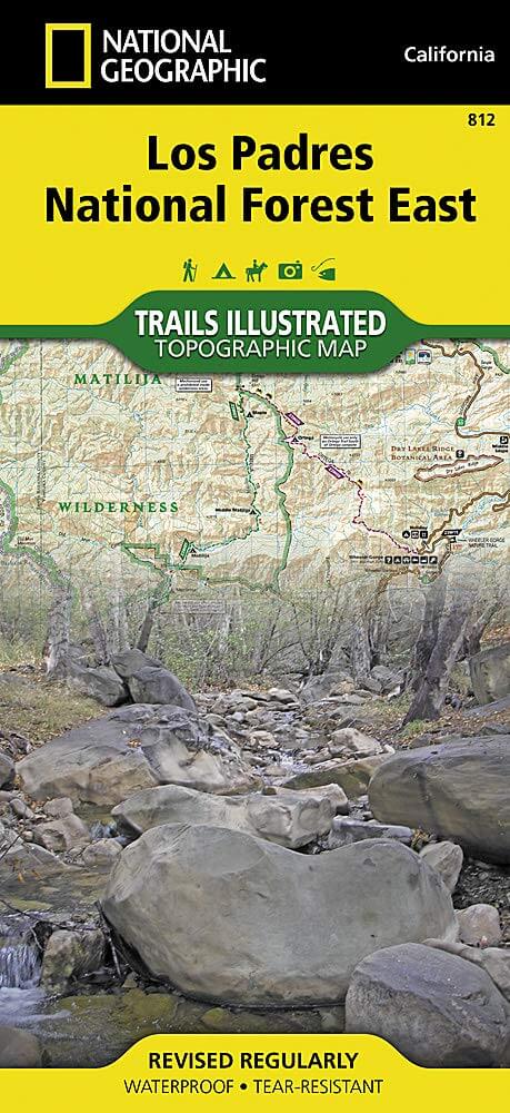
TOPO Wandelkaart 812 - Los Padres Nat. Forest East - Natgeo Productomschrijving: Los Padres National Forest is een bosgebied in Amerika, meerbepaald in oost- en centraal California. Het bos ...

Specificaties
- Uitgever: National Geographic
- ISBN-13: 9781566955805
- HOOFDCATEGORIEËN: Wandelkaart
- Regio: Californië, USA
- Land: Verenigde Staten van Amerika (USA)
- Regionale parken: Los Padres National Forest, California USA
- Schaal: 1:80000
- Afmeting: 10x19
- Taal: Engels
Volledige omschrijving
TOPO Wandelkaart 812 - Los Padres Nat. Forest East - Natgeo
Productomschrijving: Los Padres National Forest is een bosgebied in Amerika, meerbepaald in oost- en centraal California. Het bos is uitermate gekend voor mountainbikers en hikers.
Engelse omschrijving: One of the most diverse National Forests in the United States, Los Padres National Forest provides recreation opportunities for a enormous population base in central and southern California. National Geographic's Trails Illustrated map of Los Padres National Forest East will serve outdoor enthusiasts looking to enjoy the wide range of activities that the National Forest has to offer. Expertly researched and created in partnership with the U.S. Forest Service, California State Parks and others, the maps covers with unparalleled detail the area from Santa Barbara in the west to the National Forest's eastern boundary with Angeles National Forest. Coverage includes many popular points of interest, including Chumash, Dick Smith, Matilija and Sespe Wilderness Area; Sisquoc, Sespe Creek and Piru Creek Scenic Rivers; Fort Tejon and El Presidio de Santa Barbara State Historic Parks; Hungry Valley Recreation Area; and Carpinteria State Beach.
Navigate the area by following mapped trails, including many National Recreation Trails, shown with mileage markers and labeled according to designated usage, whether exploring on foot, horseback, mountain bike, motorcycle or ATV. To aid in your navigation, the map displays contour lines, elevations, labeled peaks and summits, water features, numbered Forest Service roads and OHV routes, and color-coded boundaries between different land management agencies. Among the many recreation spots pinpointed include areas for camping, picnics, boat launching, fishing, swimming, surfing, widlife viewing and winter recreation. The Jacinto Reyes and San Marcos Pass Road Scenic Byways are marked for those wishing to explore the by car. Every Trails Illustrated map is printed on "Backcountry Tough" waterproof, tear-resistant paper. A full UTM grid is printed on the map to aid with GPS navigation.
Other features found on this map include: Angeles National Forest, Carpinteria, Chumash Wilderness, Dick Smith Wilderness, Fillmore, Lake Casitas, Lake Piru, Los Padres National Forest, Matilija Wilderness, Piru Creek, Pyramid Lake, San Emigdio Mountains, San Rafael Wilderness, Santa Barbara, Santa Ynez Mountains, Sespe Creek, Sespe Wilderness, Tejon Pass.
.png)
Locatie op kaart
Artikelen uit dezelfde regio

Wandelkaart 807 Carson-Iceberg- Nat.Geo • 9781566952651
TOPO Wandelkaart 807 - Carson-Iceberg- Nat.Geo Productomschrijving: Een verzameling aan nationale bosgebieden op één kaart en gelegen in Calofornia. Engelse omschrijving: Expertly researched and created in partnership with the U.S. Forest Service and others, National Geographic's Trails Illustrated map of Yuba and American Rivers region of Tahoe National Forest provides an unparalleled…

Wandelkaart 221 Death Valley NP - Nevada - Natgeo • 9781566953214
TOPO Wandelkaart 221 - Death Valley NP - Nevada - Nat Geo Productomschrijving: Death Valley National Park is een Amerikaans nationaal park die de California—Nevada grens aanraakt, ten oosten van de Sierra Nevada. De grenzen omvatten Death Valley, het noordelijk deel van Panamint Valley, het zuidelijk deel van Eureka Valley, en het de meerderheid van Saline Valley. Engelse omschrijving…

Wandelkaart 256 Mojave National park California - Nat Geo • 9781566953832
Wandelkaart - Mojave National park California - Nat Geo Productomschrijving: Gelegen op de samenloop van de Mojave, Sonoran, en Great Basin woestijn regio's, Mojave National Preserve is een van de meest diverse woestijn omgevingen in de wereld. Verken de Joshua Tree bossen, zandduinen, vulkanische sintelkegels, kilometershoge bergen en uitgestrekte vergezichten van deze unieke regio met Na…

Reisgids Los Angeles California - Top 10 - DK Eyewitness • 9780241367957
DK Eyewitness TOP 10 Los Angeles California Omvat: West Hollywood and Midtown, Santa Monica Bay, Downtown & Coastal Orange County Productomschrijving: Ga wandelen in de Hollywood Hills, breng tijd door op Venice Beach, verken Beverly Hills of bezoek het Los Angeles County Museum of Art. Van de Top 10 stranden tot de Top 10 bioscopen - ontdek het beste van Los Angeles met deze gebruiksv…

Reisgids Los Angeles- San Francisco & Las Vegas - Anwv Extra • 9789018049782
Reisgids Los Angeles- San Francisco & Las Vegas - Anwv Productomschrijving: ANWB Extra reisgids Los Angeles, San Francisco en Las Vegas - Amerika Ontdek Los Angeles, San Francisco en Las Vegas met de compleet vernieuwde reisgids ANWB Extra Los Angeles, San Francisco en Las Vegas! In deze Amerikaanse driehoek komt elke vakantieganger aan zijn trekken. De natuurliefhebber in Big Sur en d…